Hiking the backbone trail - Part 5: Mullholland Highway to Kanan Dume Road
Segments 16, 15 and 14 in The Complete Hiker’s Guide to the Backbone Trail by Doug & Caroline Chamberlin
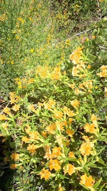
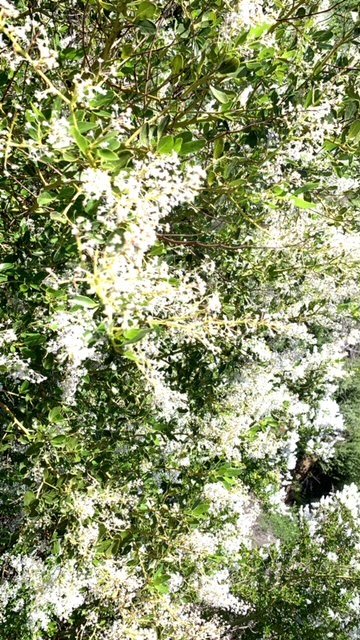
This six-mile hike on the Backbone Trail (BBT) is a plant lover’s paradise. It may not have quite the same dramatic views as the previous hikes, but the hillsides of yellow deerweed and fluffy white ceanothus contrasting with the shady canyons more than make up for fewer panoramas. Hiking it in spring is the perfect time when everything is in bloom.
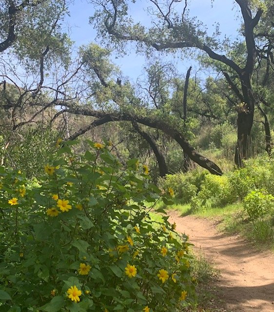
So, starting at Mulholland Highway, we walked the first short one-mile section to the large parking lot at Encinal Canyon road. The trail winds its way round the edge of a hill on your left with flowering plants everywhere – ceanothus, sunflowers, monkey flowers and deerweed. This is an easy hike with a very graded descent – a stroll in the park that could be done as a gentle afternoon walk out and back from either Mulholland or Encinal Canyon.
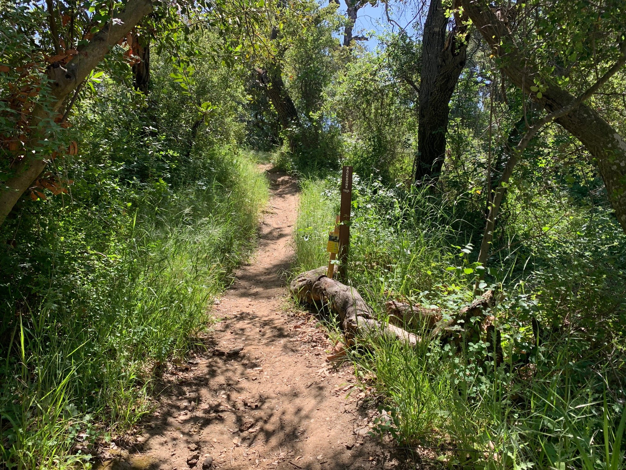
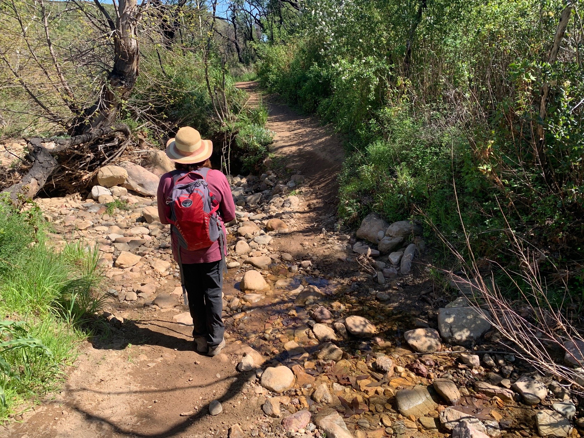
We then crossed Encinal Canyon Road and located the dirt road which is the start of the next section of the BBT. This descended into Trancas Canyon, a quiet section of the BBT. We crossed the creek on stepping stones and walked through the sun-dappled canyon bottom. Although much has recovered after the Woolsey Fire, the many blackened tree trunks are evidence of significant damage to the landscape in this area.
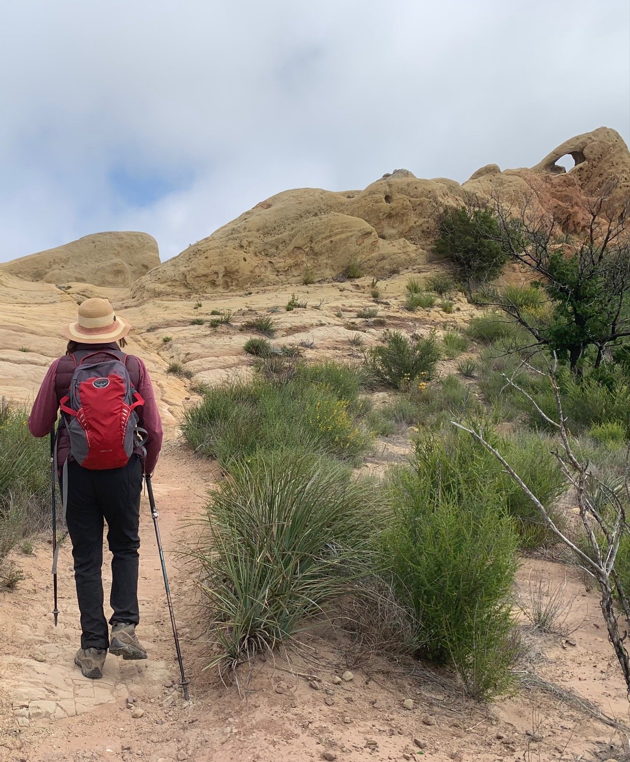
Mountains of seasonally-green chaparral rise steeply on either side. At the head of the canyon, the trail turns sharp left and heads up one of these hillsides in graded switchbacks. It’s a fairly long climb but not too steep. Just before arriving at the Zuma Motorway, we glimpsed Encinal Canyon Road below us to the left, along with remains of the old Malibu Golf Club. Dotted along the side of the trail we spotted purple Parry’s Phacelias – a good name!
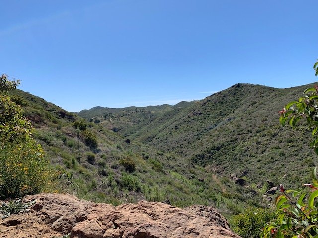
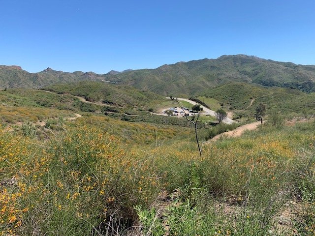
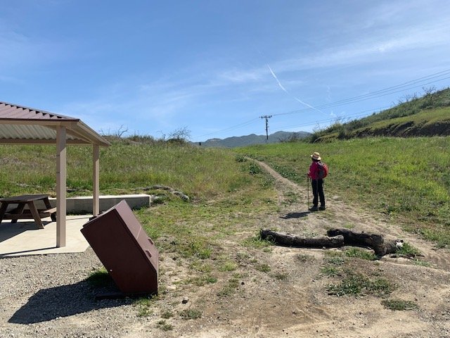
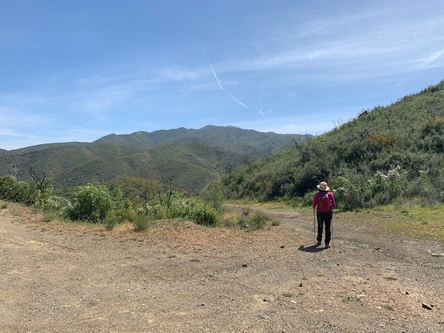
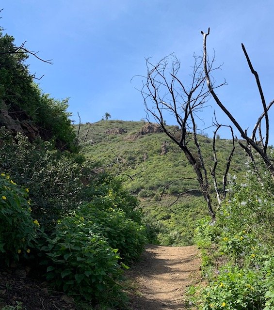
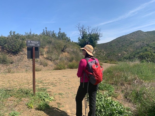
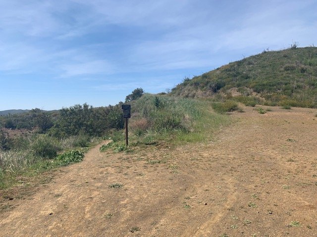
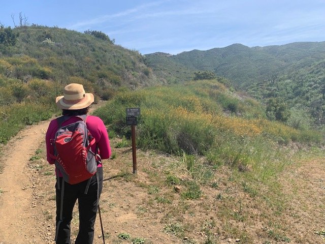
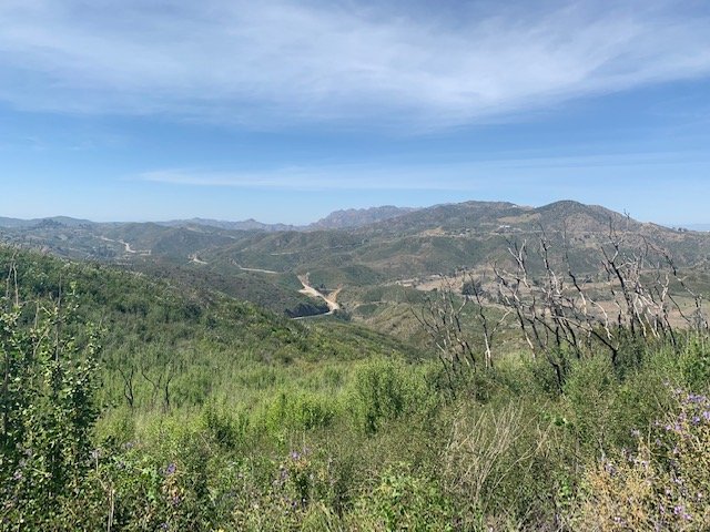
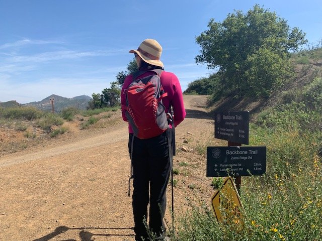
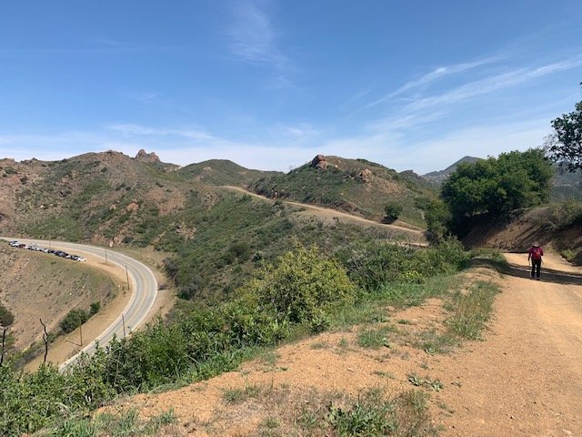
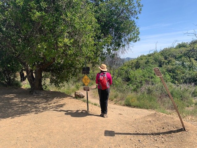
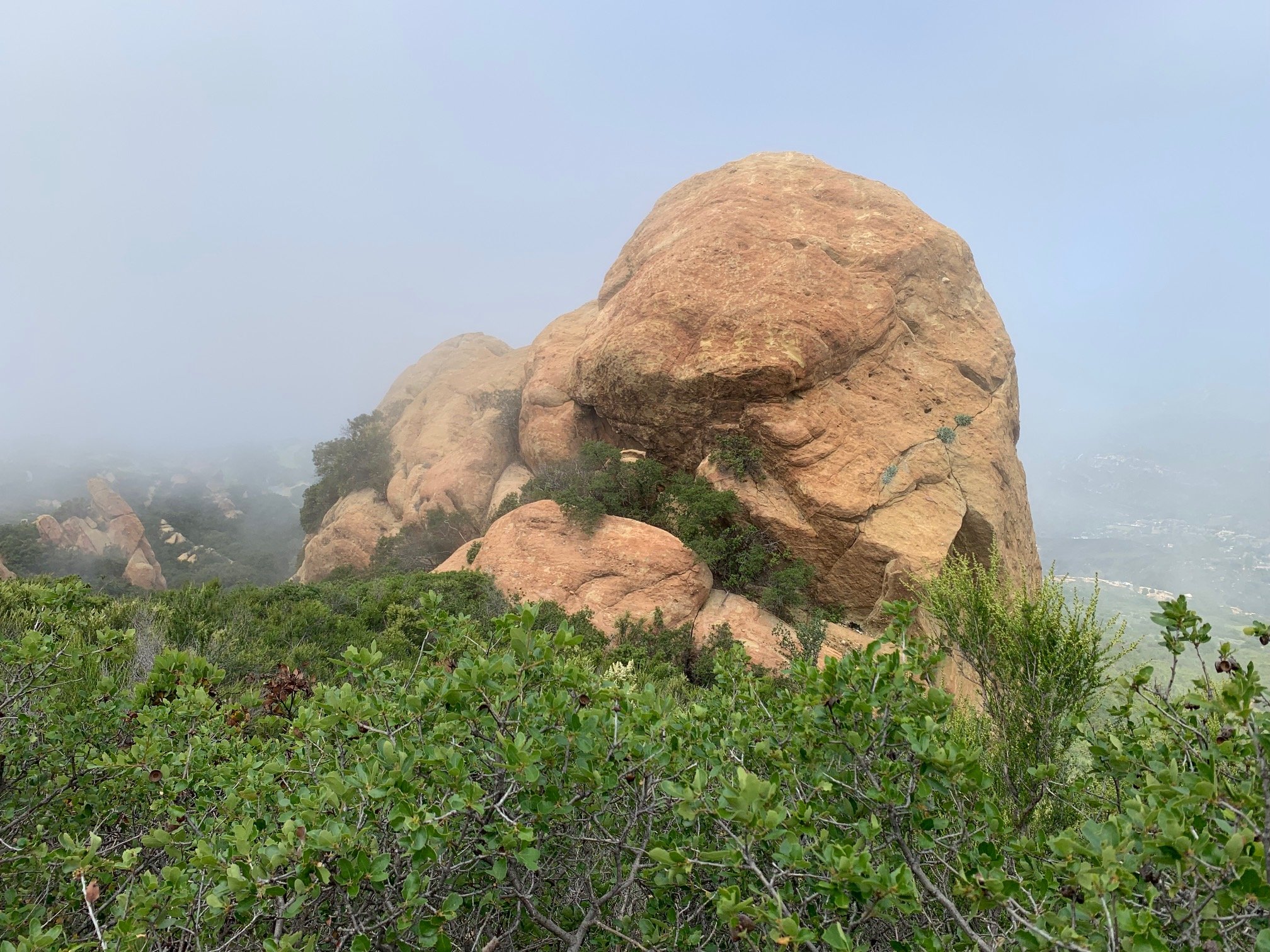
At Zuma Motorway, we turned right following signs to Kanan Dume Road up the hill and continued as it climbed fairly steeply before descending to the left and reaching a junction with the Backbone Trail. This was the end of an approx. 2.5-mile segment and a great place for lunch. A large boulder by the trail provided a comfortable place to chill for a few minutes.
Next, we followed the BBT as it descends into Zuma Canyon curving all over the chaparral landscape. Up to the left there were dramatic views of the Zuma falls with little or no water pouring over them. Here, you get the sense of being at the top of a basin with a number of streams flowing seasonally into the main creek.
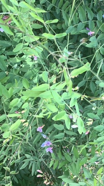
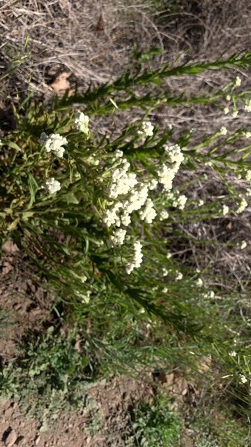
The Man with the Camera has adopted plant recording as a new hobby. Finding previously unseen plants adds another level of fascination to these hikes – a comparatively new interest for both of us. We’ve now spotted over 30 different plants on our five hikes. Flowering plants along this section included Clearwater Cryptantha, California Cudweed, Scarlet Larkspur and Purple Nightshade.
The trail then arrives at the base of shady Zuma Canyon with yet more evidence of the Woolsey Fire on the Coastal Live Oaks’ charred trunks. In this fire ecology landscape, these trees are meant to burn occasionally, so it’s reassuring to see that many seem to be surviving with new green foliage emerging.
We crossed the creek at the site of the trail bridge that was destroyed in the Fire. This is slated to be re-built over the next few months. A sharp climb up the other side to Kanan Dume Road concluded the hike with the first ocean view of the day – a great way to finish! At an unmarked Y-junction we walked up to the left on a short path to our car in the overflow lot on Kanan Dume Road.
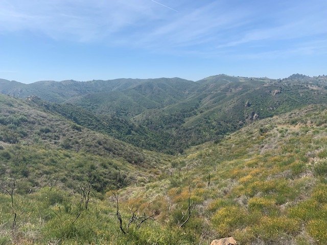
This hike is a real illustration of the bio-diversity of the Santa Monica Mountains. At a distance, the hillsides appear a rather uniform green at this time of year. But look closely and you’ll see that they are covered in a huge range of plants of many colors. Not to be missed.
So, 32 miles done, 35 to go! Next week, we cross Kanan Dume Road and hike to Corral Canyon Road.


