
Hiking the backbone trail - Part 3: Triunfo Pass to Sycamore Canyon
Triunfo Pass (Mishe Mokwa Parking Lot) to Big Sycamore Canyon
Segment 19 in The Complete Hiker’s Guide to The Backbone Trail by Doug & Caroline Chamberlin
This hike is possibly the most dramatic of all the sections of the Backbone Trail (BBT). With a 1,000 ft climb from the Mishe Mokwa parking lot up to Sandstone Peak you’ll reach the highest point in the Santa Monica Mountains. This area is called Circle X Ranch and the Boney Mountain Wilderness and includes several peaks and a plateau that together form the highest area of this range.
The more grueling part of the hike is a 3,000 ft descent to sea-level at Sycamore Canyon cove. Enjoy the incredible views but be prepared with very good hiking boots as the descent is slippery and quite steep in places. In the book, there are several side trips to various peaks but, being a bit short on time, we decided to stick to the BBT and not check out any of these.

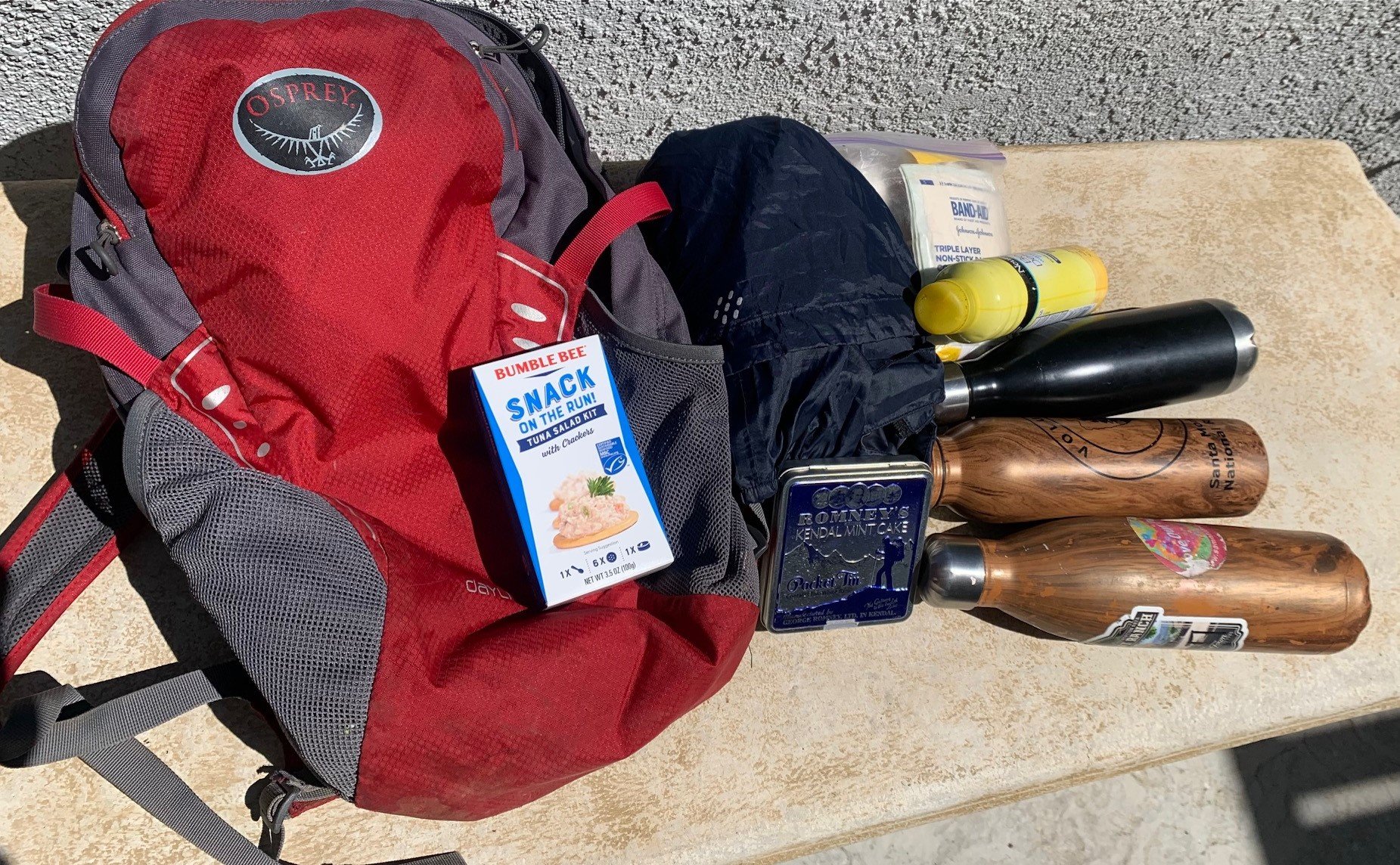
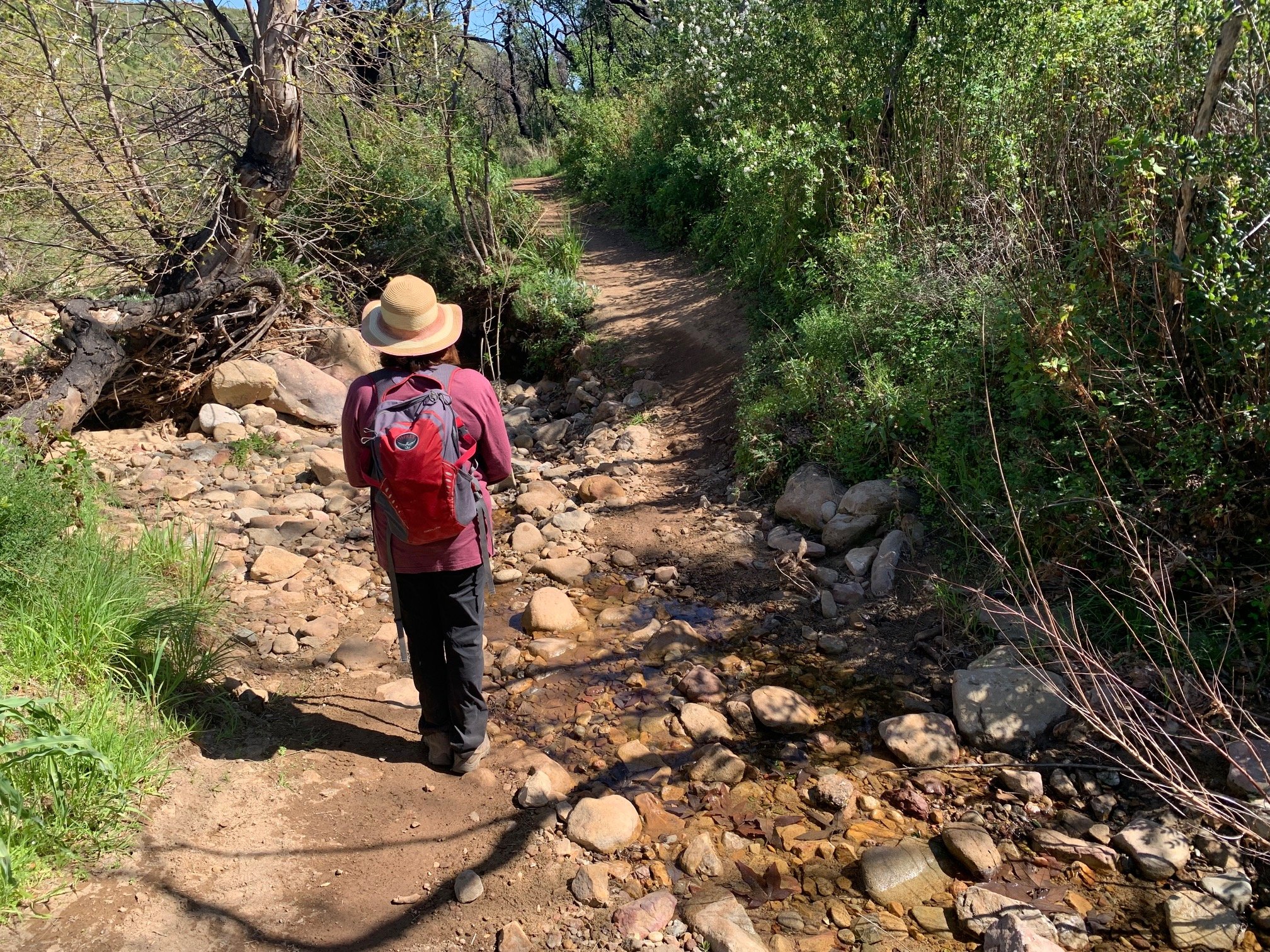
At the start of hike at Mishe Mokwa parking lot.jpg
The Man with the Camera and I set off a bit late last weekend. We left one car at Sycamore Cove and drove the 10 miles along PCH and up Yerba Buena Road to the Mishe Mokwa Parking lot (north side) at the start of the hike. It was a cool, windy, sunny day – perfect for hiking.
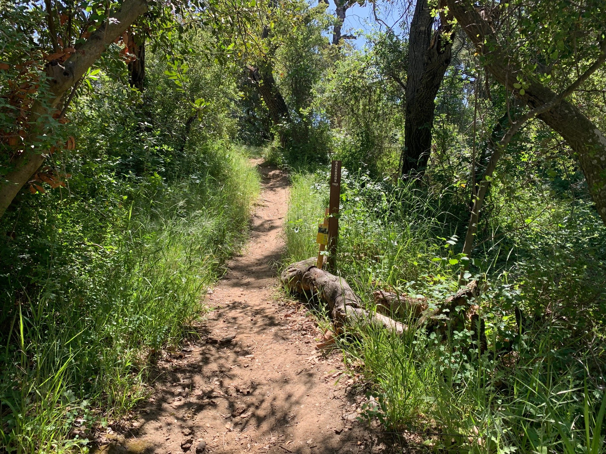
Exiting the parking lot to the north, by the sign, we walked a short distance to the first junction and turned left following the Sandstone Peak direction. At this point the Backbone Trail is not signed but, by heading towards the peak we joined the BBT. Next, a 1.5 mile climb takes you to Sandstone Peak. Going up there are initially stunning views to the Pacific Ocean on one side and towards the Conejo Valley and the U-shaped Carlisle Canyon with Sherwood Lake and Las Virgenes reservoir in the distance.
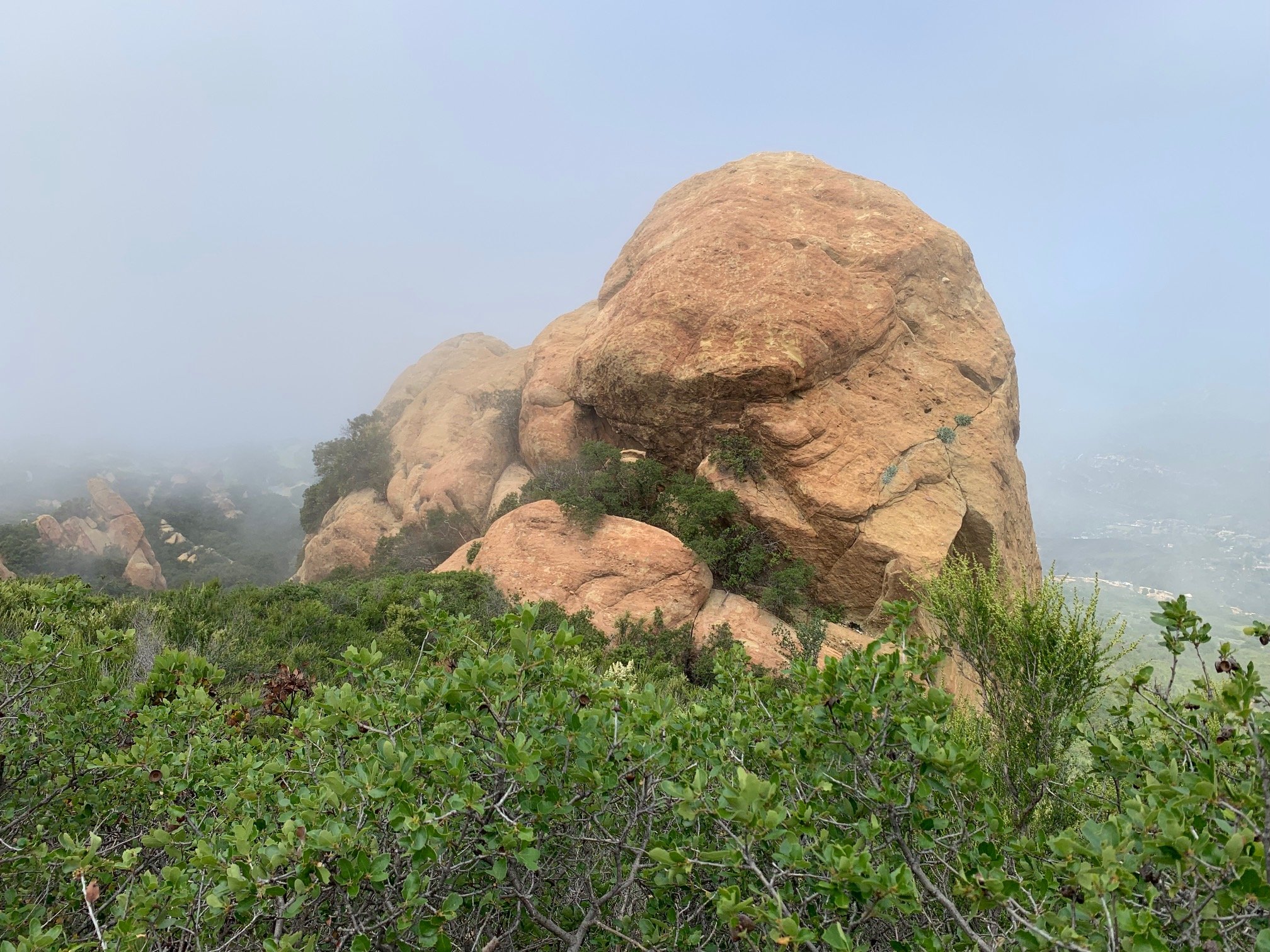
After another 0.1 miles there is a sharp right-hand bend. At the left is the access to the 100ft final ascent of Sandstone Peak. At this point we spotted the famous hanging rock in the Mishe Mokwa area below us. Effectively, the 3,000 ft descent starts here but the first couple of miles on the plateau are very gentle.


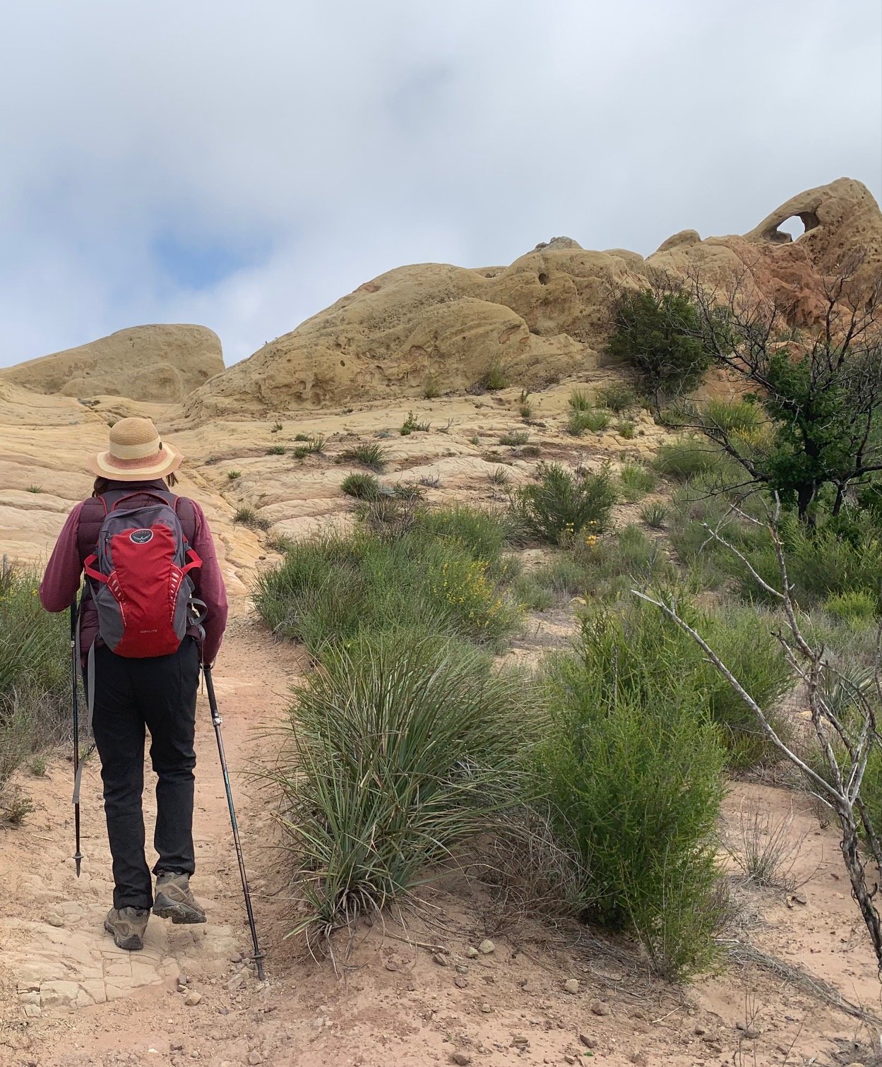
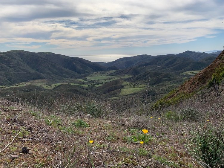
At an unsigned Y-shaped junction with large water containers to your left, we turned right and inland on the BBT to continue our trek across this plateau. This is an area of upland aridity with dry stream beds, views of the Tri-Peaks and a dusty landscape. We then crossed into the Boney Mountain Wilderness, down an upland valley and to the edge of the ridge. Huge rocky outcrops were visible on all sides. At the edge of the ridge, there was an incredible view towards the Oxnard Plain and the Channel Islands. Sycamore Canyon is so far below at this point that it’s invisible.
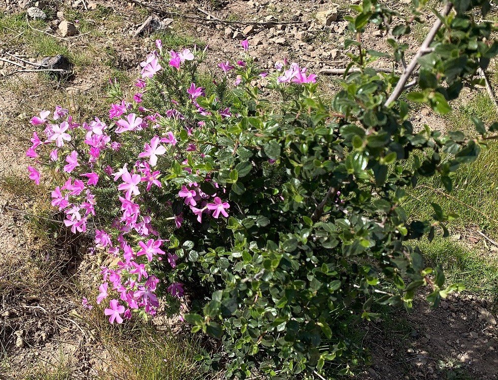
With spring starting we loved seeing the first California Poppies, Canyon Sunflowers, Indian Paintbrush, Wild Radish, Sugar Bush, Wavy-leafed Soap Plant, Prickly Phlox and Warrior’s Plume.
We started our descent on the Chamberlain Trail which is the toughest part of the hike – slippery, steep and a bit scary for older legs! At the junction with the Old Boney Trail, Chamberlain Trail and Backbone Trail we turned left to cut a mile off the hike. The walk here was through a delightful, green valley and then a steeper descent to Big Sycamore Canyon. On reaching the canyon, we walked 0.2 miles to the junction to the right with Wood Canyon, the end of our first BBT section from the western end of the Backbone Trail. Our final three-mile route march out to Sycamore Cove was rapid to get to the beach before the end of the day!
Overall, this hike is tough and, if you are not comfortable with heights, you may want to consider carefully whether you wish to attempt it. But, if you love stunning views, dramatic rocky outcrops and feeling like you are in the middle of nowhere, this one is definitely for you!
With thanks to the Man with the Camera once again for his photos and for putting up with my slow progress on the downhill sections! This was a 12-mile hike of which three was the final walk out of Sycamore Canyon. So, 17 miles of the BBT done, 50 to go!