
Hiking the Backbone Trail - Part 2: Malibu creek to Piuma Road
Backbone Trailhead, Malibu Creek State Park to Backbone Trail Access, Piuma Road
Section 10 in The Complete Hiker’s Guide to the Backbone Trail by Doug and Caroline Chamberlin
When we started this project, the Man with the Camera and I (Executive Director of SAMO Fund) had every intention of hiking the Backbone Trail (BBT) sequentially, starting at the western end and finishing in the east at Will Rogers State Park. However, as all you SoCal residents know, February is no guarantee of cool temperatures. This weekend served up 82F which we felt was too hot to trek across the high wilderness behind Boney Peak. Dehydration in hot temperatures on a hike is no joke - believe me, I know from experience. So, we chose a shorter, shady stretch in the middle of the mountains.
This hike is and out and back from Malibu Canyon Road and runs roughly parallel with Piuma Road for a couple of miles to its Backbone Trail access point before returning.

Backbone Trail Access at Malibu Creek State Park

Malibu Creek from the west side

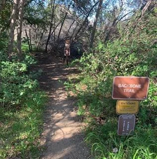
Backbone Trail access from Piuma Road
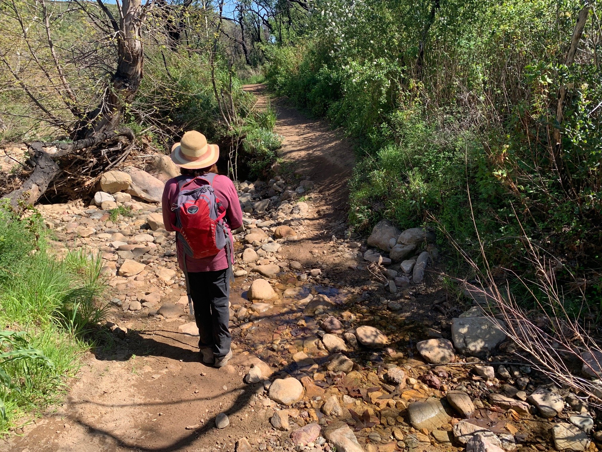
After parking in the paid lot (Malibu State Park BBT access point) just south of the Piuma Road junction on the right (if coming from the 101 freeway), we started out by trying to be purists and sticking absolutely to the Backbone Trail. To do that we were supposed to cross Malibu Creek. But after exiting the parking lot at the back, following the BBT signs straight on and going down hill to the right towards the creek (unsigned) a minute later, we found that the creek was way too full to cross. The fast-running stream had completely submerged the stepping stones. Instead, we scuttled across Las Virgenes Road to the opposite side (with thanks to the car that stopped to let me walk), and took the pedestrian crossing over the road bridge north to the junction with Piuma Road.
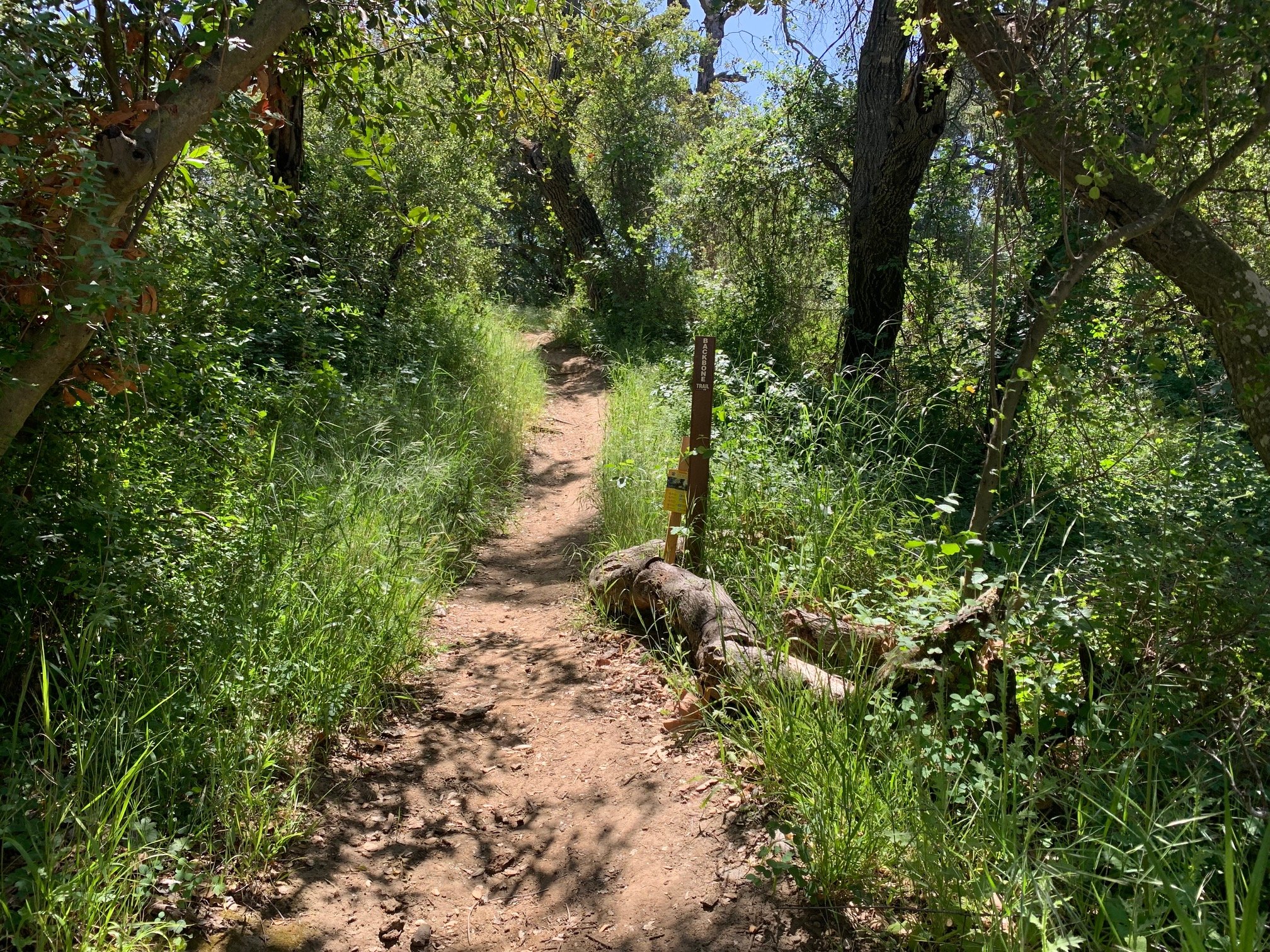
Into the woods…

Through the chaparral
Turning right on Piuma, we stuck to the wide verge on the right for about a quarter mile. We then spotted the small BBT sign in the bushes, pointing us downhill to the right through spring-green grass to a smaller creek. As with Malibu Creek, this tributary was also quite full but, thanks to some sticks and rocks that had been strategically placed across the stream, it was possible to cross.

Ferns
Continuing straight on uphill, the path bends to the left. We then followed the California Wildlife Center fences on our left until we emerged into their parking lot under the oak trees. Straight ahead, we saw several slim, orange markers and followed the path leaving these posts to our right. This continued on and up the hill through tall chaparral of manzanitas on either side of the trail. Luckily, despite not being an actual woodland, they provided plenty of shade.

Elfin wood
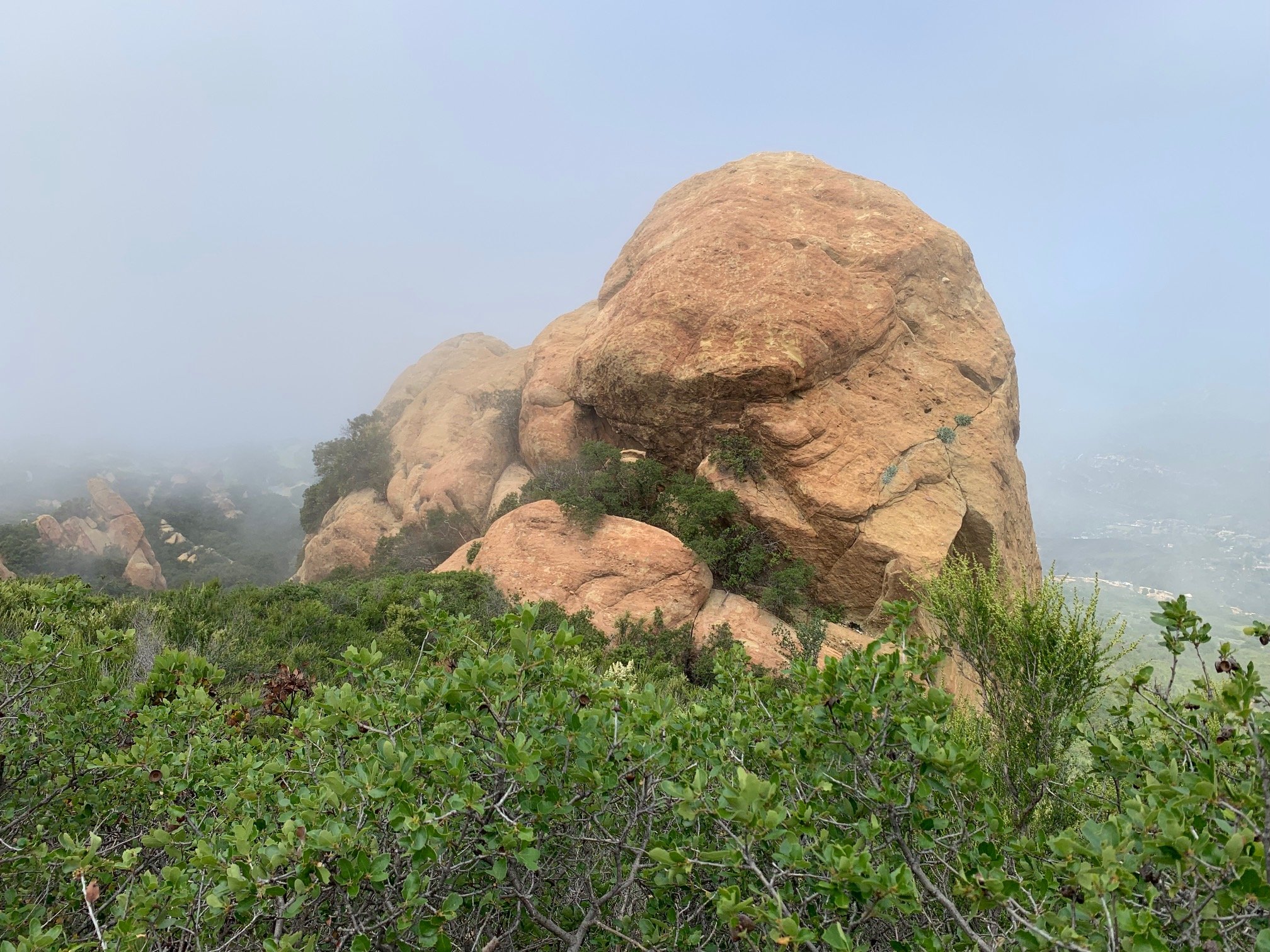
The trail continued uphill through an elfin wood with large boulders, shady trees and ferns. Over the next mile and a half this alternates with areas of chaparral. Along this short trail, there is an incredible diversity of plants. We saw Ceanothus in flower, Cliff Asters, Chaparral Currants, Heartleaf Keckiella, Purple Nightshade also blooming, Scorpion Weed and Sticky Geranium. Then, a Roadrunner skedaddled across the trail right in front of us – way too fast for the Man with the Camera to snap!

Woods and boulders

Looking towards Malibu Creek State Park
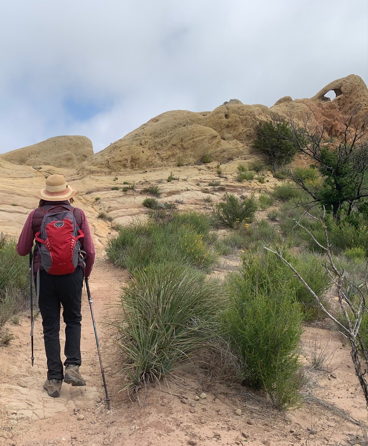
After some slightly steeper switchbacks – just over 400 feet climbing - we arrived at the highest point on the trail, enjoying a panorama of the valley from Stunt Peak over the small settlement of Monte Nido and west towards Malibu Creek State Park. A gentle downhill from here takes you to Piuma Road and the end of the section. We returned the way we came, looking up at the precipitous mountainside now on our left and appreciating the more panoramic views straight ahead.
Turning around at Piuma Road
For the sake of completion, we walked back along Piuma Road and turned left down a very narrow trail just before the junction with Las Virgenes. A stroll under the Las Virgenes Road bridge, took us to a view of Malibu Creek from the other side. This is where we should have emerged had we crossed the creek at the beginning of the hike. Seeing fast flowing water in any stream in these mountains is a refreshing sight!
All in all, this was a perfect hike for a hot day – not too much exertion, plenty of shade and lots to enjoy. I can’t emphasize enough how important it is to pay attention to weather conditions in the Santa Monicas. It’s not just people that suffer from dehydration and heat exhaustion, it’s often even worse for dogs joining their humans on hikes. They are closer to the ground, their paws get hot and they can really suffer in our SoCal heat.
So, after two sections, we’ve done eight miles of the BBT, with 59 to go! Weather permitting, we’re aiming to return to the western end of the mountains in a couple of weeks for one of the longer sections of the trail.

Malibu Creek from the East Side

Looking towards the next trail access point on Piuma Road