
Hiking the backbone trail - Part 7: Corral Canyon trailhead to Malibu Canyon Road
Segment 7 in The Complete Hiker’s Guide to the Backbone Trail by Doug & Caroline Chamberlin
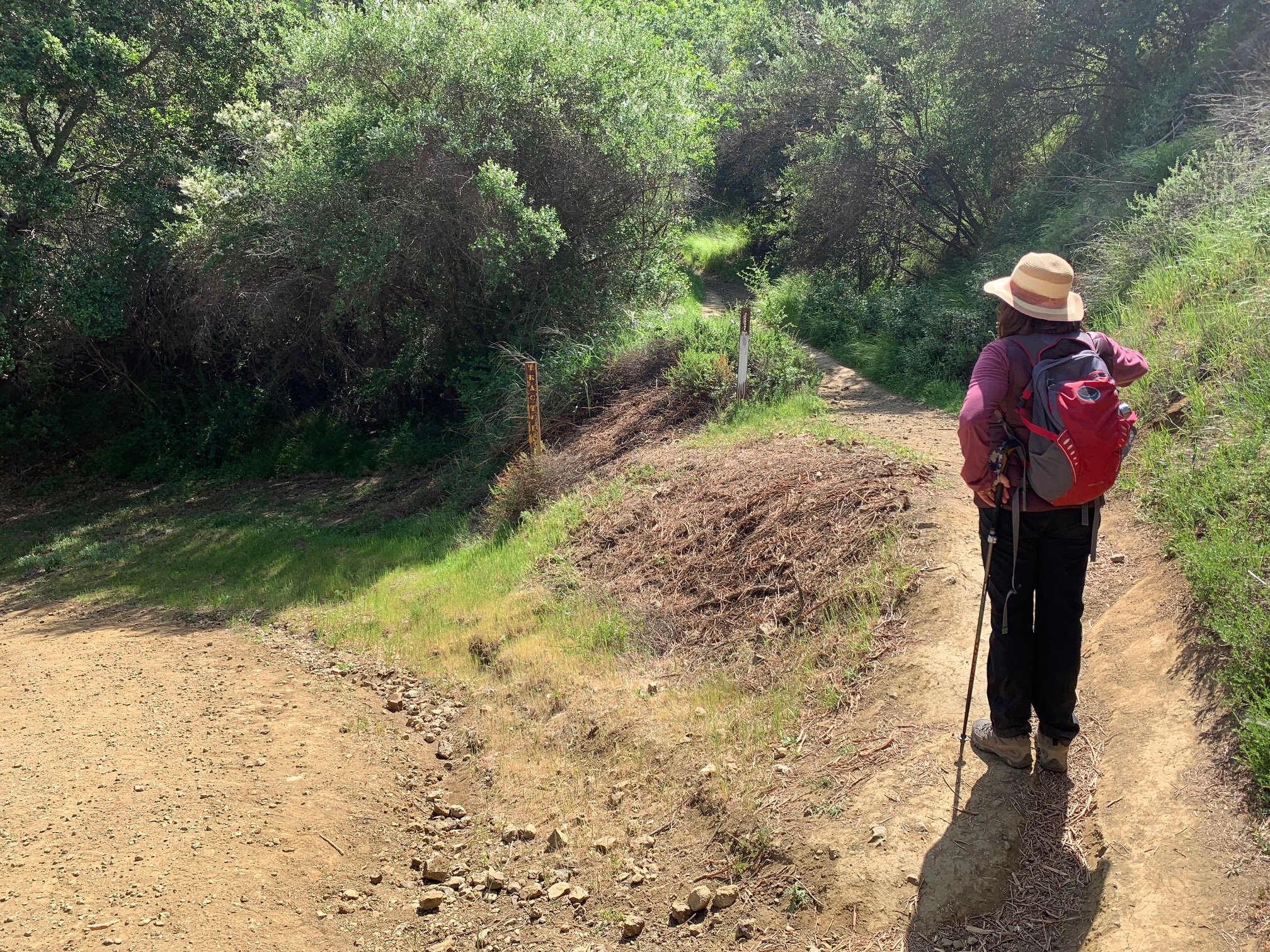
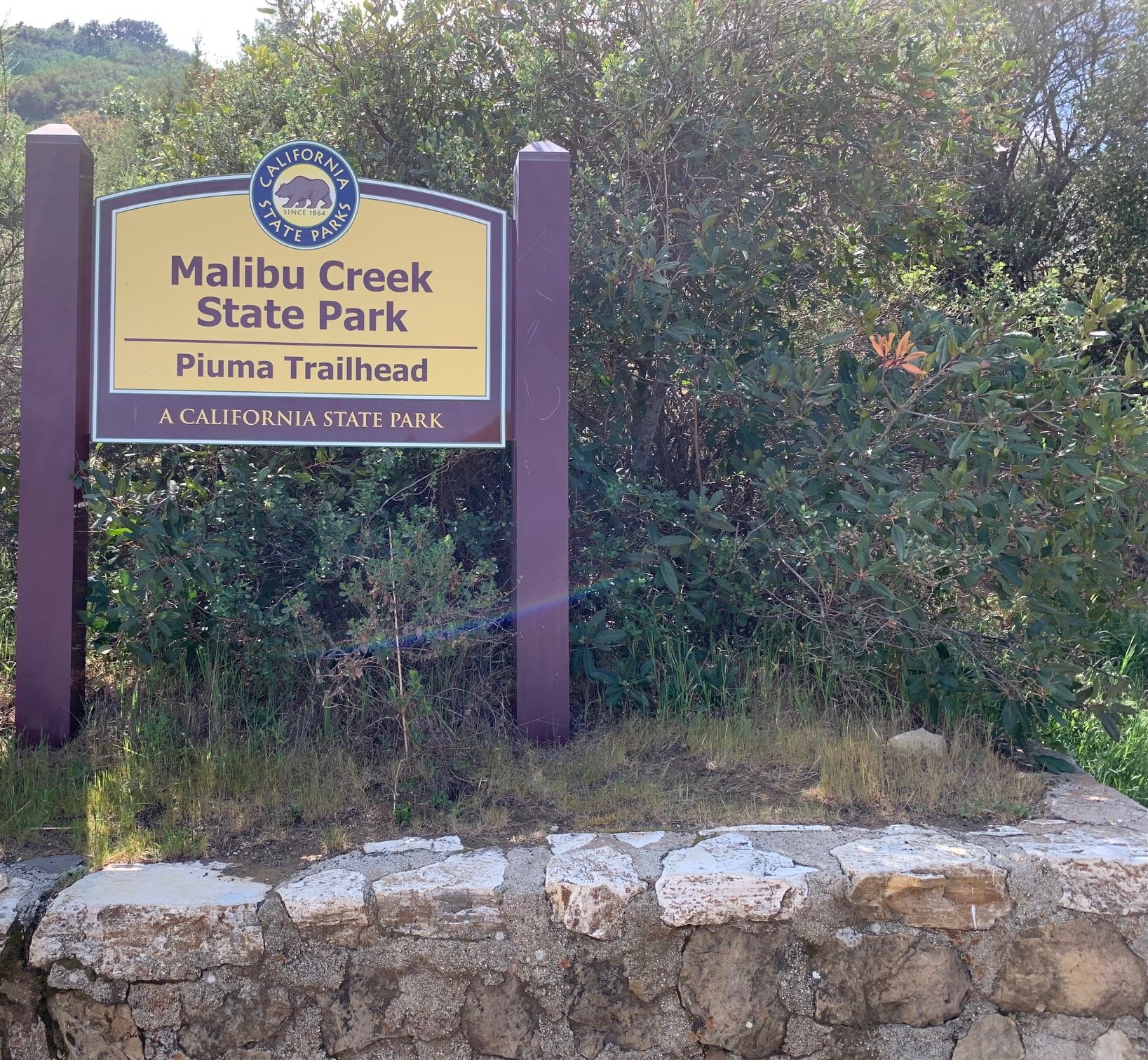
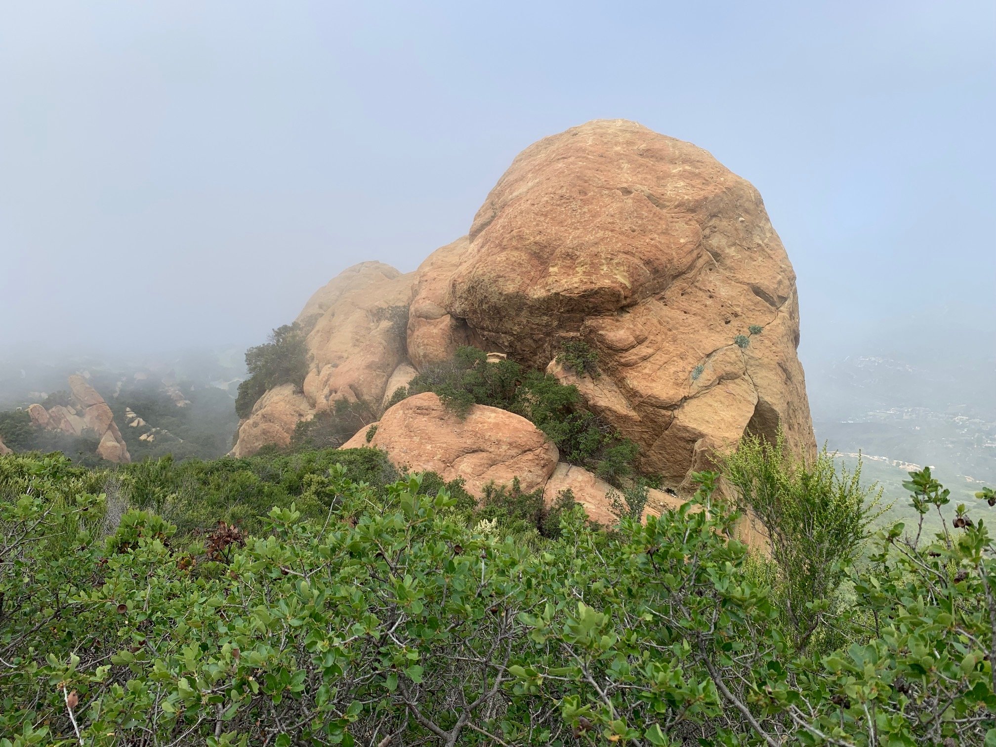
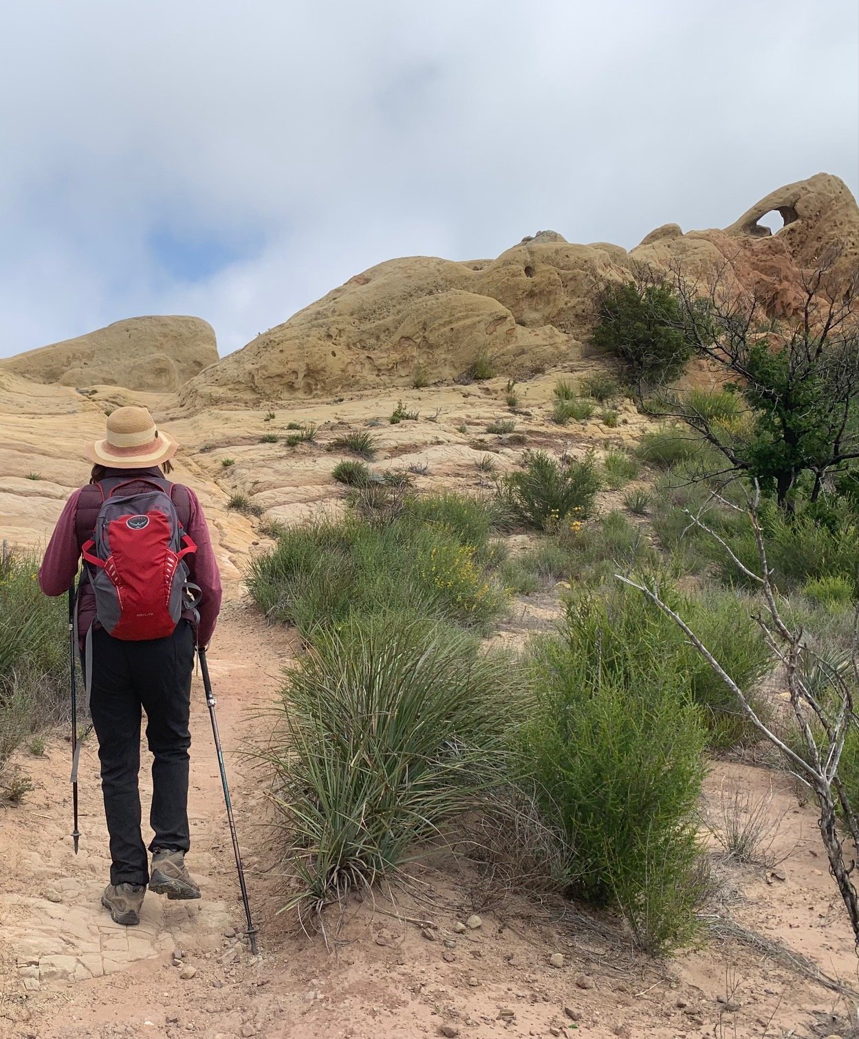
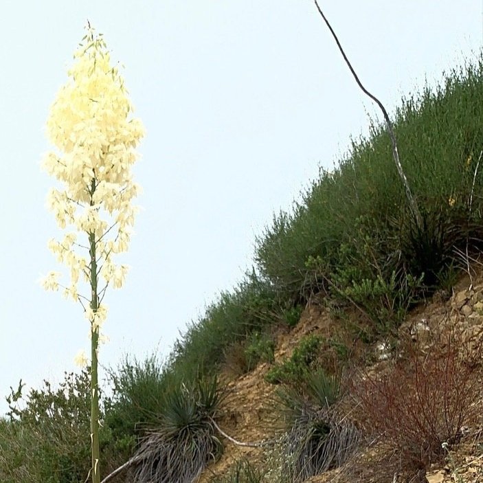
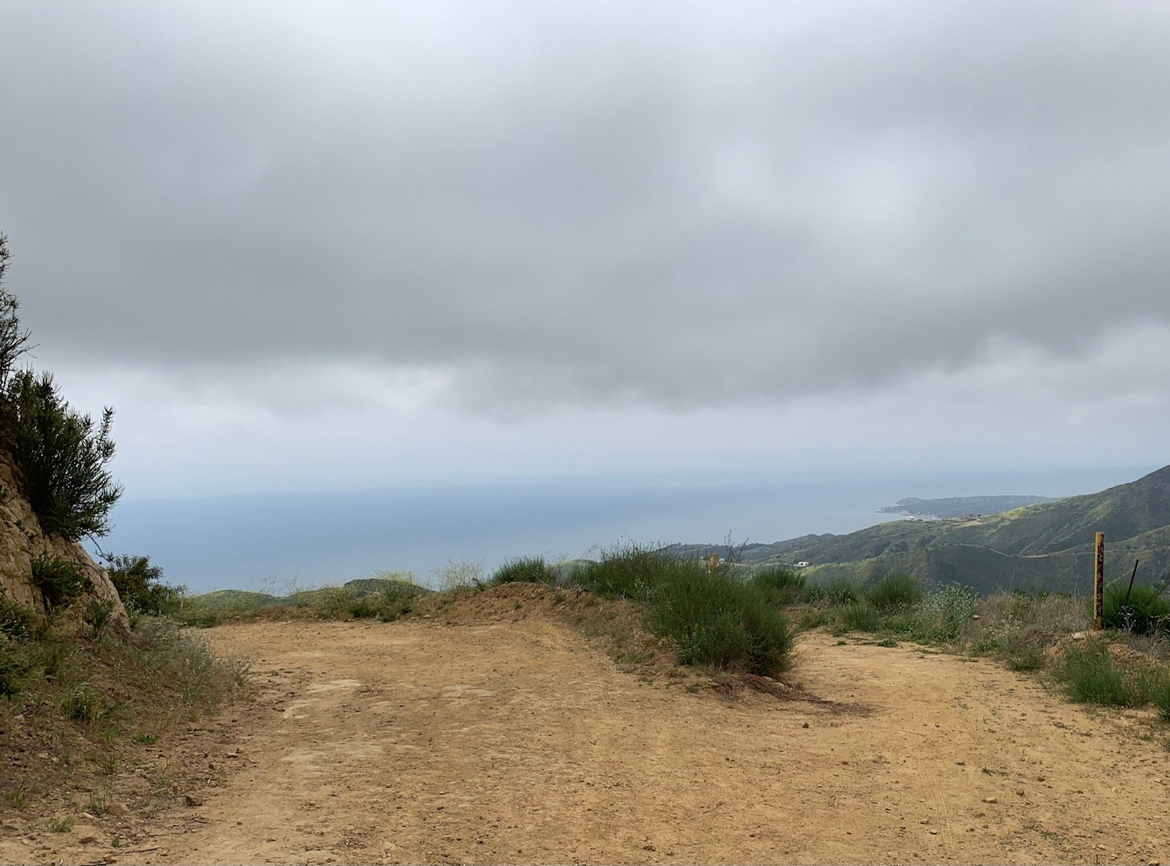
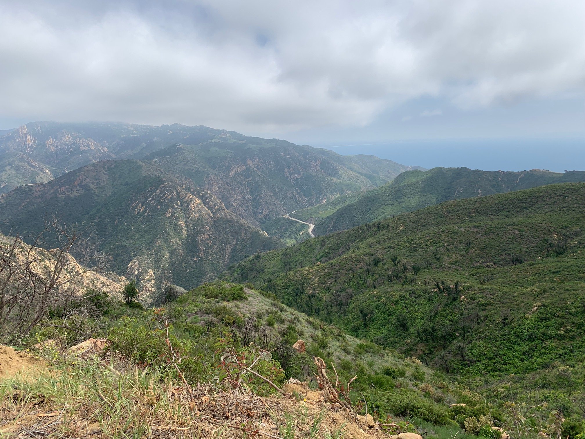
Having left one car at the Piuma Trailhead on Malibu Canyon Road and driven up Corral Canyon Road, the Man with the Camera and I embarked on this section of the BBT – just over five miles, about 700ft of cumulative elevation then a 1,400ft descent. Whereas the last two sections were all about plants and inland views, the start of this section is something else altogether – rock formations (hoodoos) and spectacular, panoramic ocean views 2,000 ft below. Except, with an unusually cloudy day, the views were not quite as spectacular as normal.
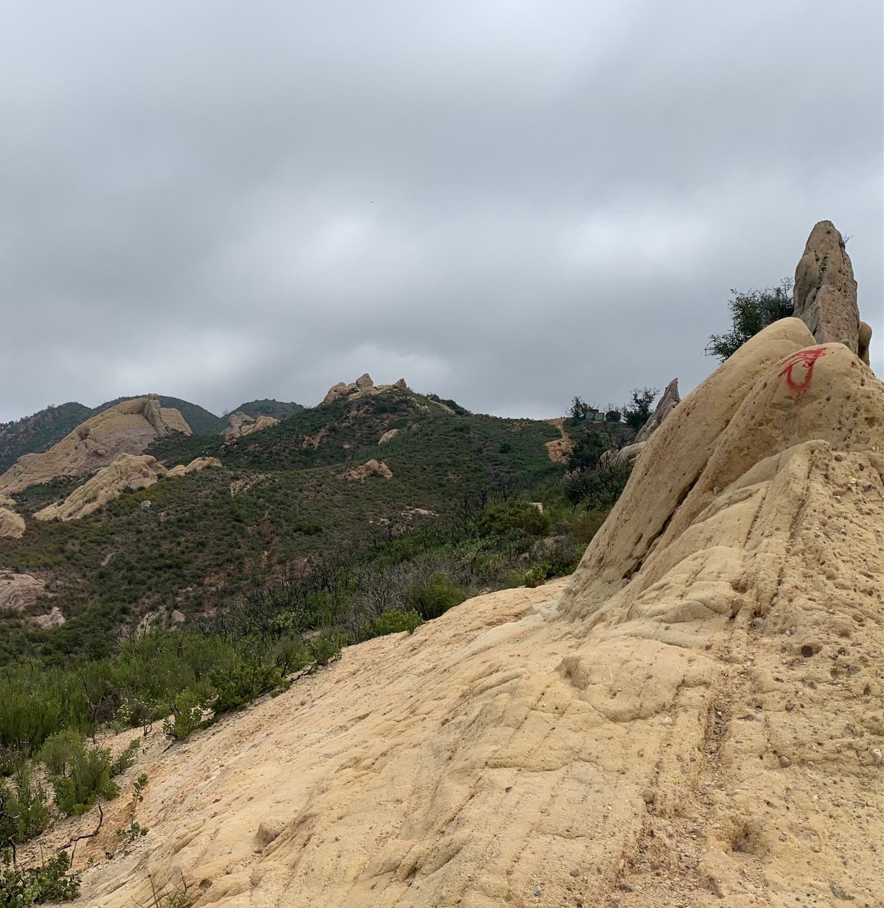
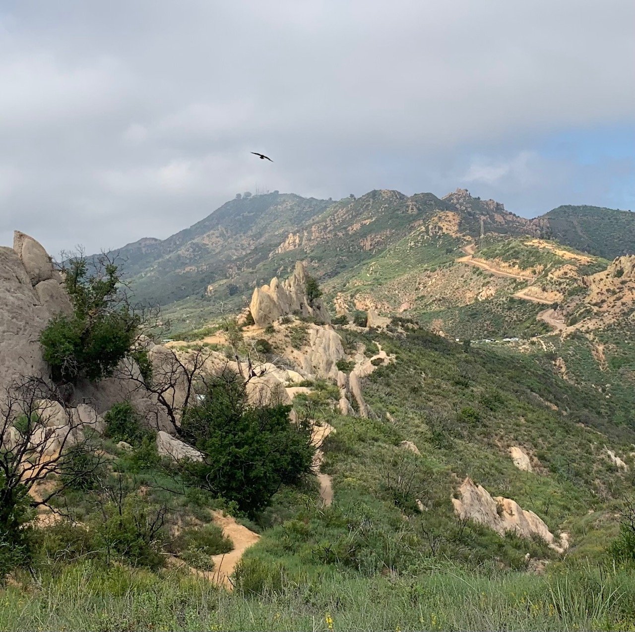
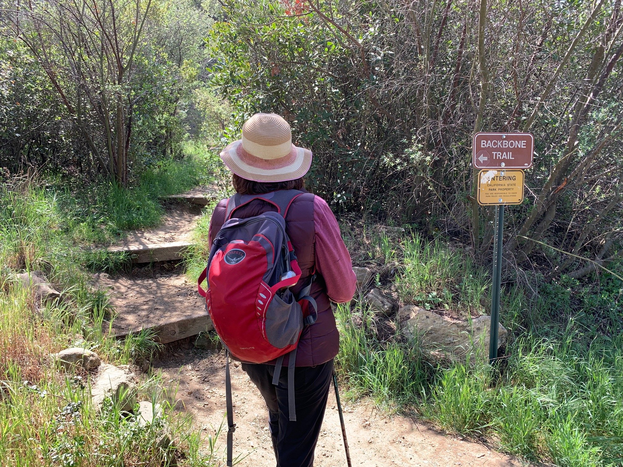
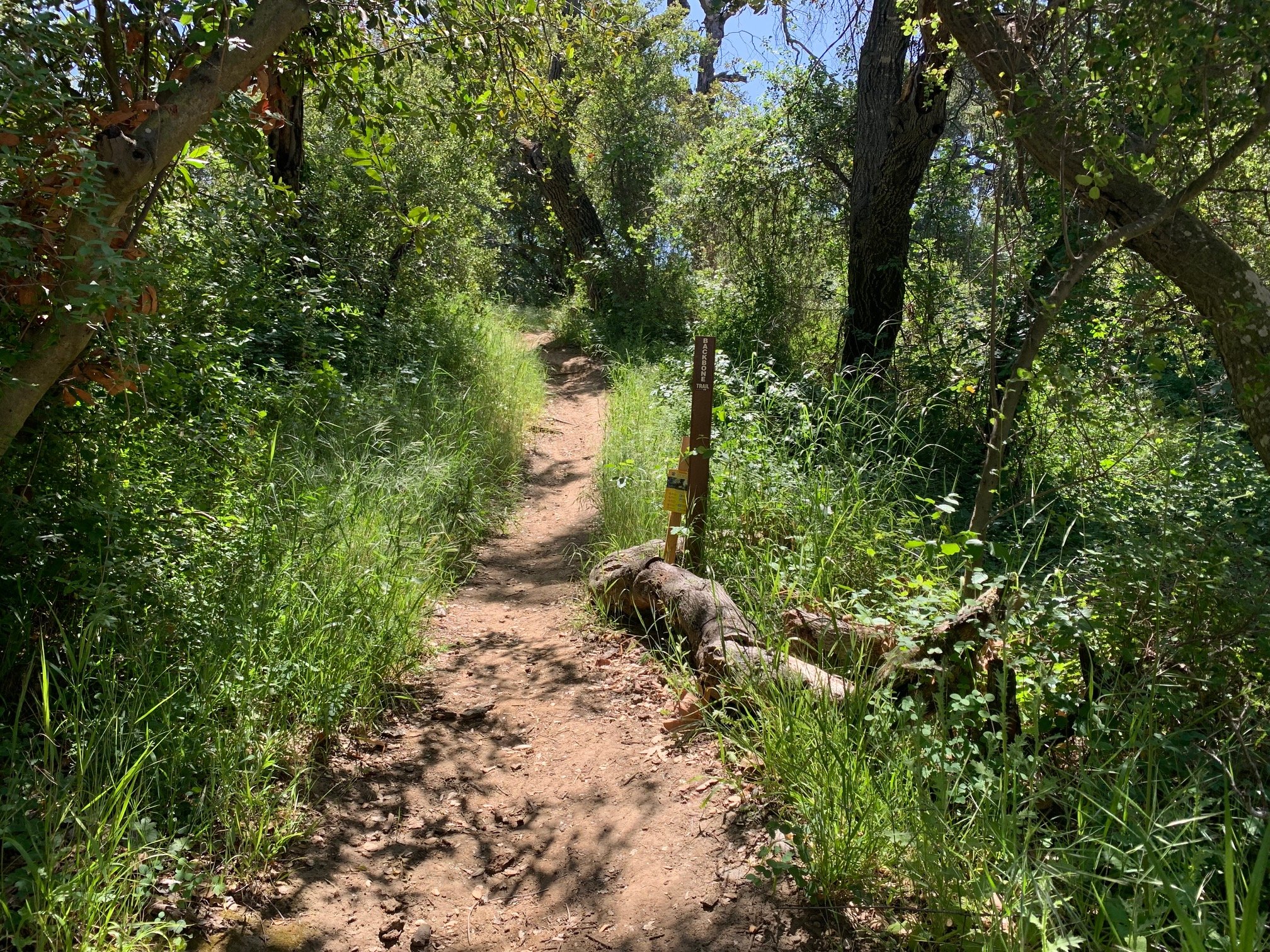
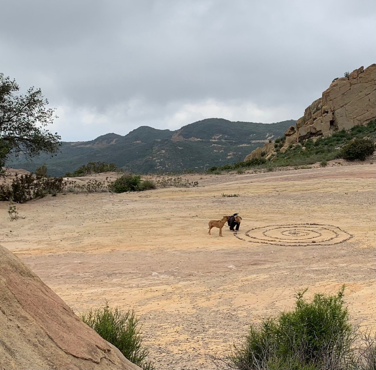
The trail started at the south-east corner of the Corral Canyon parking lot along the BBT. The path here is a bit of a scramble up and over rocks with the hoodoos towering above on either side (fun!) before the Mesa Motorway joins the path after nearly half a mile. We then came to an open gravel area with a stone spiral and cavity-strewn rocks at the side. We were tempted to walk the spiral and add a stone to the end.
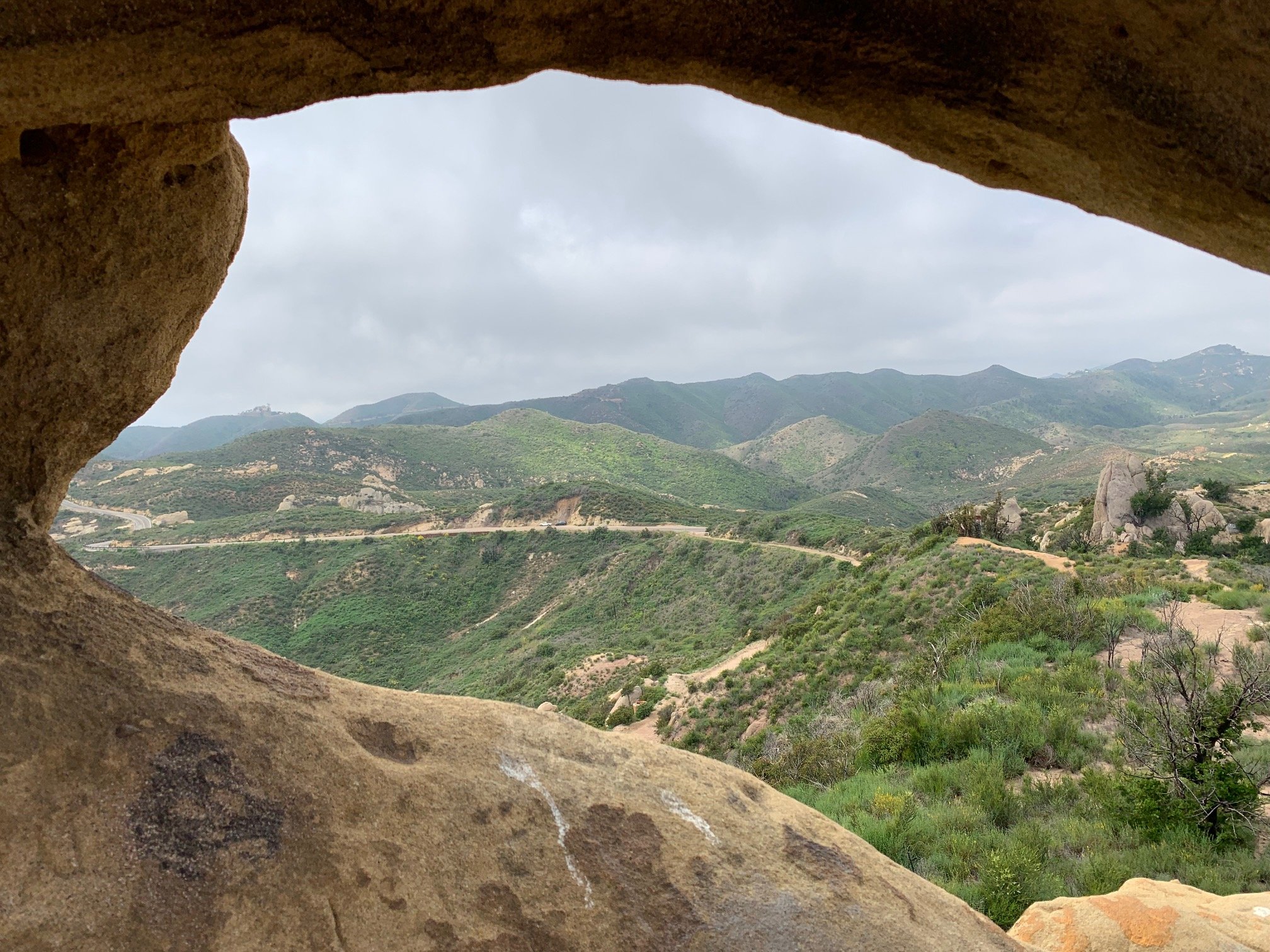
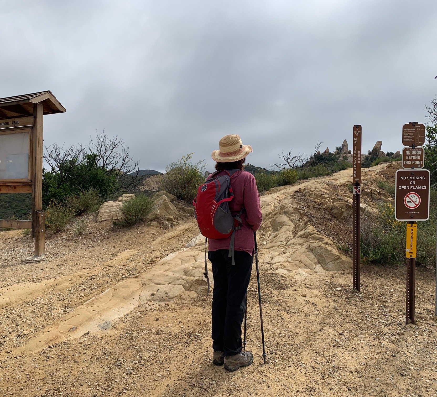
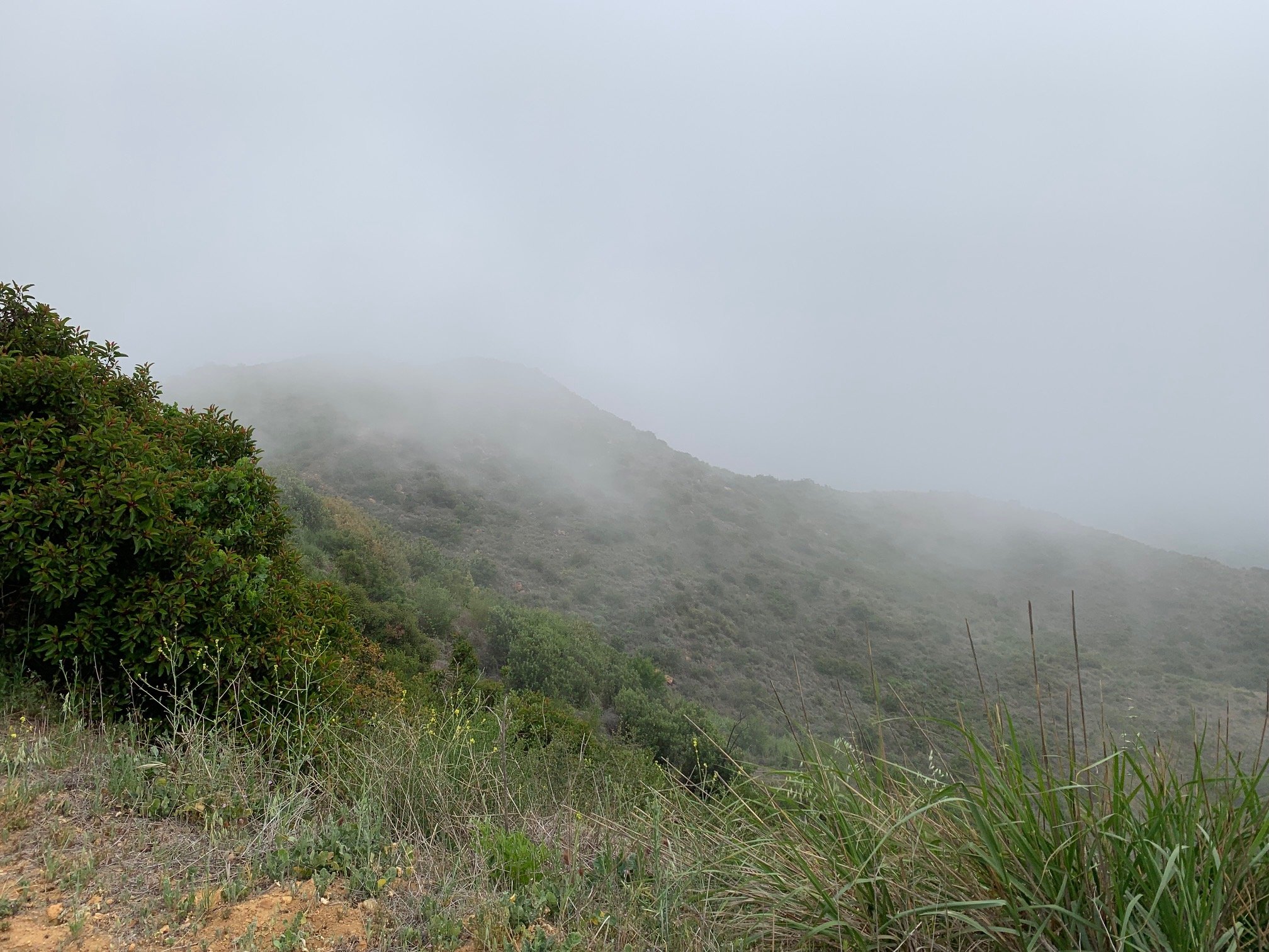
From here, we continued on a wide, gravelly fire road with views sometimes inland over Malibu Creek State Park, sometimes over the ocean and occasionally both on either side. Just beyond 1.5 miles, after a climb through some oak trees, we reached a high point where we were shrouded in clouds. It was chilly with a sharp breeze from the ocean and absolutely no sea view – early warning of the storm forecast for the following day. A turn to the left and the Man with the Camera was delighted to spot a colony of ground bees emerging from their burrows on this flat area of the trail.
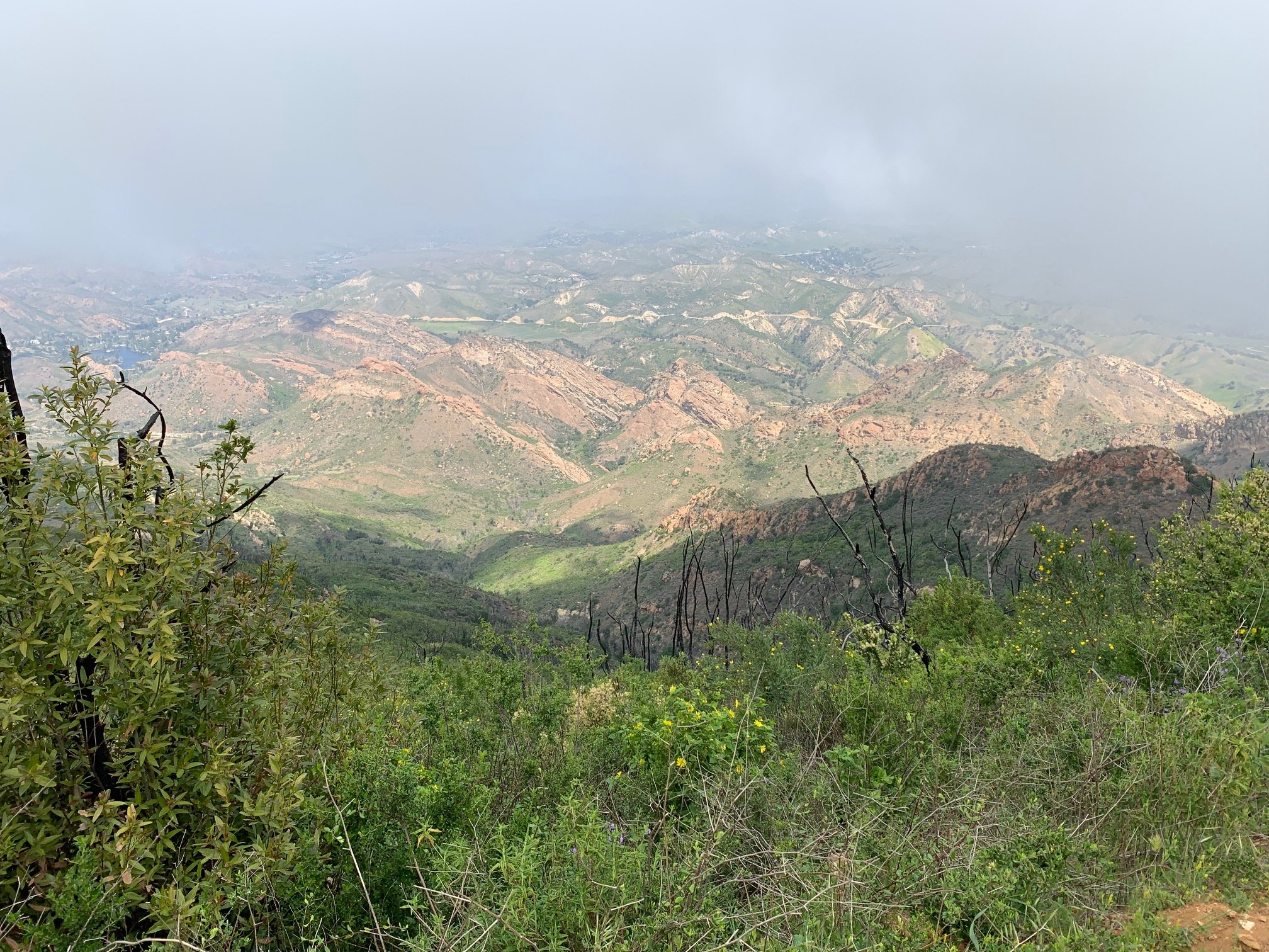
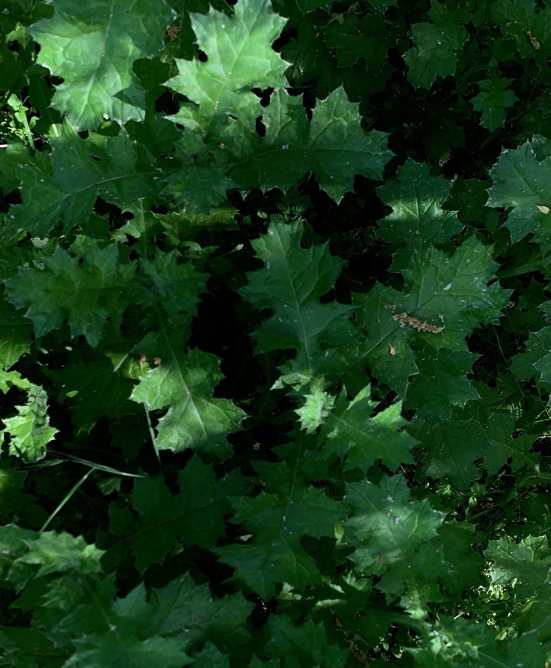
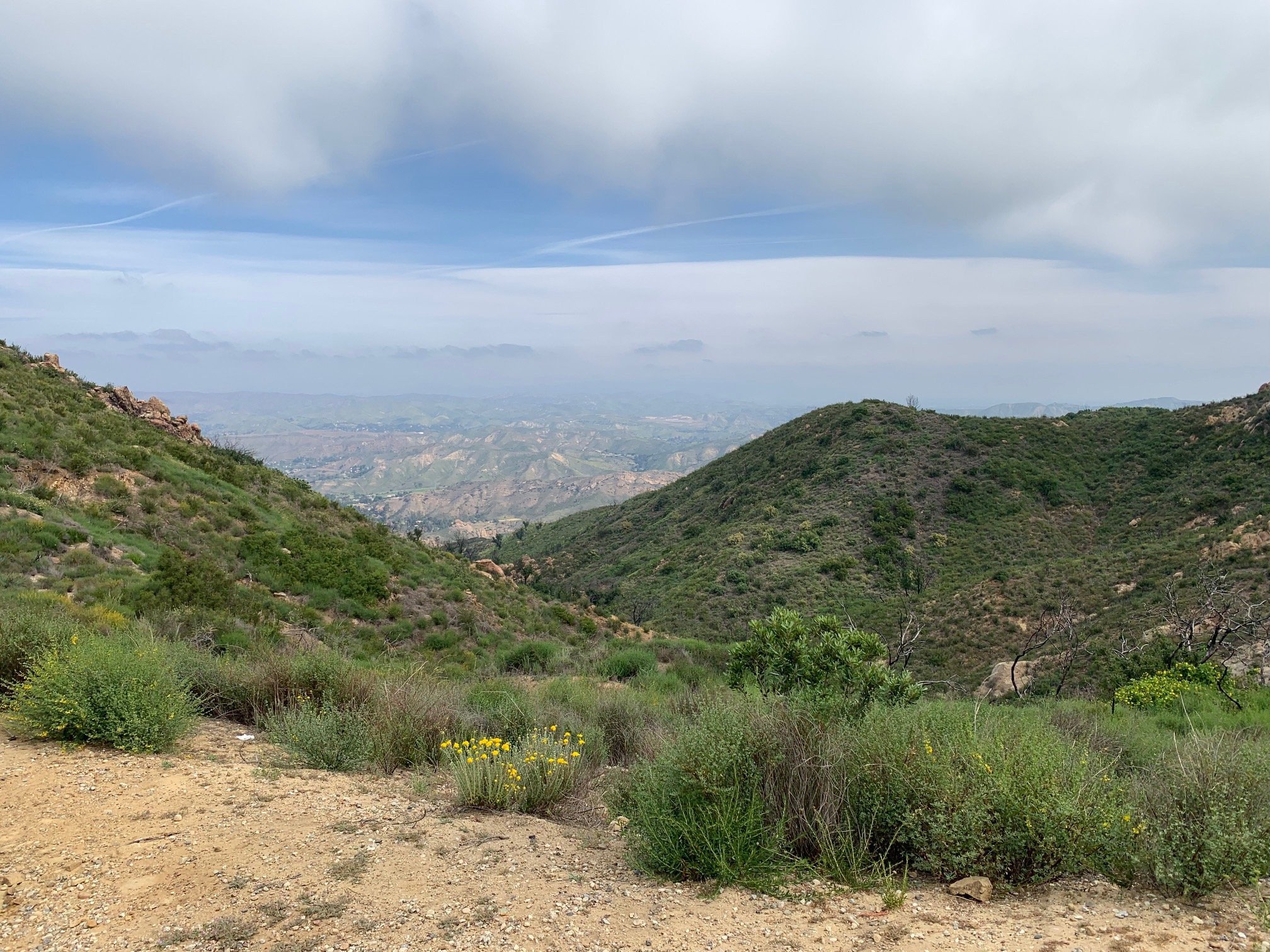
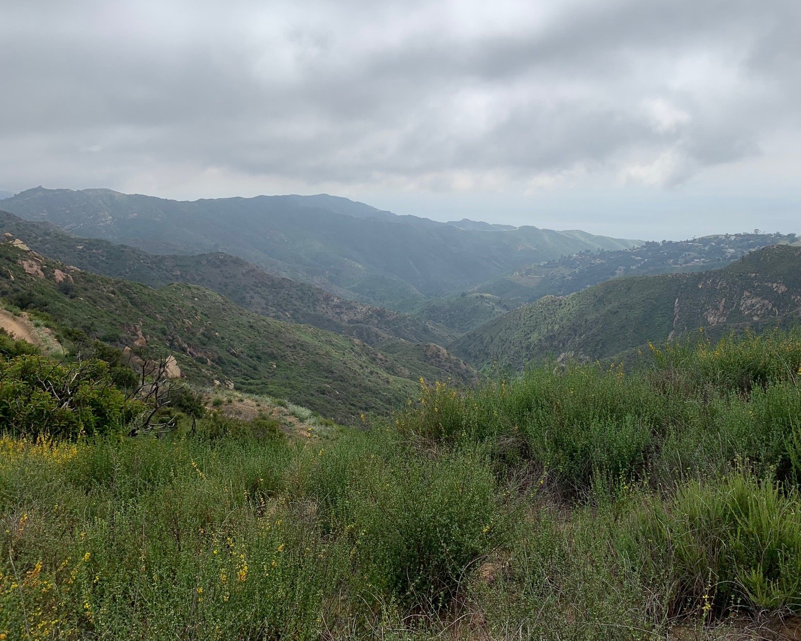
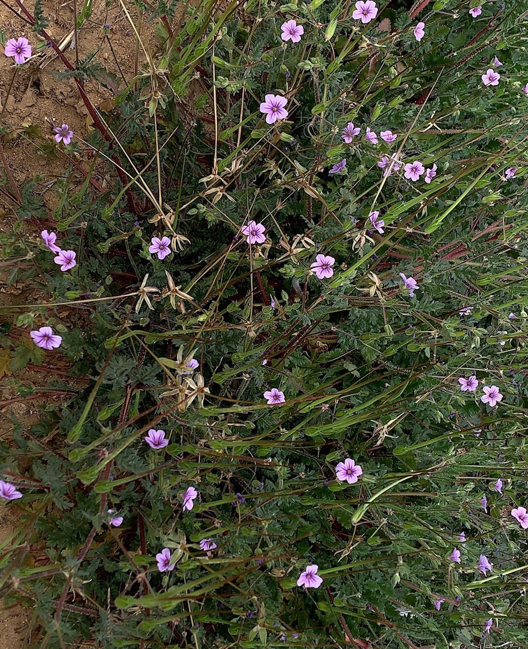
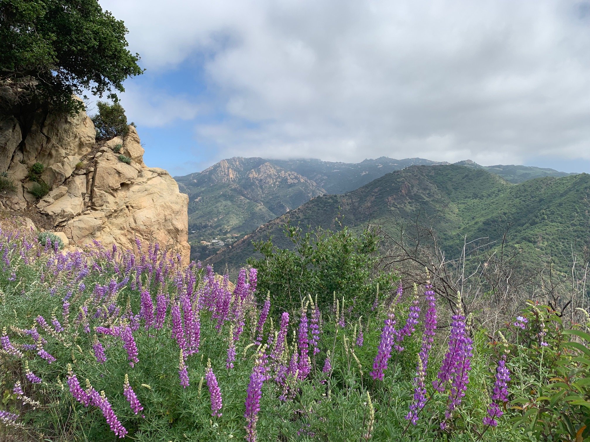
Another steep-ish climb followed up to McAuley peak and then a descent to a junction at 2.8 miles. We stayed left on the BBT, then turned the corner to a picnic table with gorgeous views over Mesa Peak towards the Channel Islands. After this is where the descent really begins, and it’s pretty steep and gravelly in places. Heading downhill for nearly two miles, we had fabulous views over the canyon and spotted some new plants we had not seen before: Shortpod Mustard, Bigflower Agoseris and Silver Rock-lettuce.
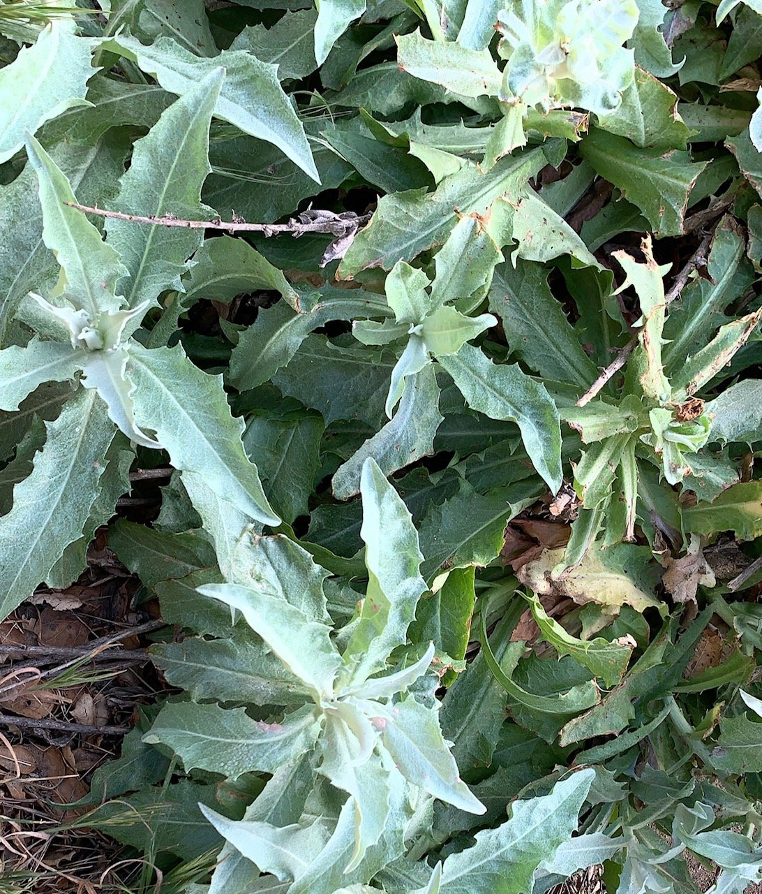
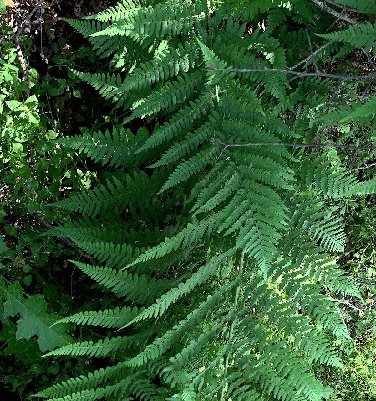
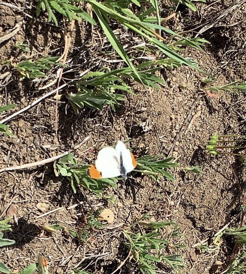
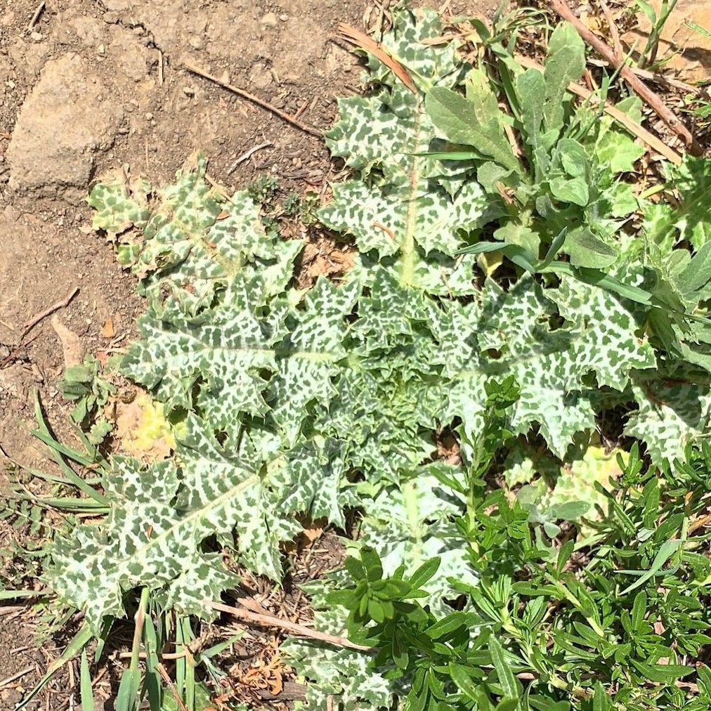
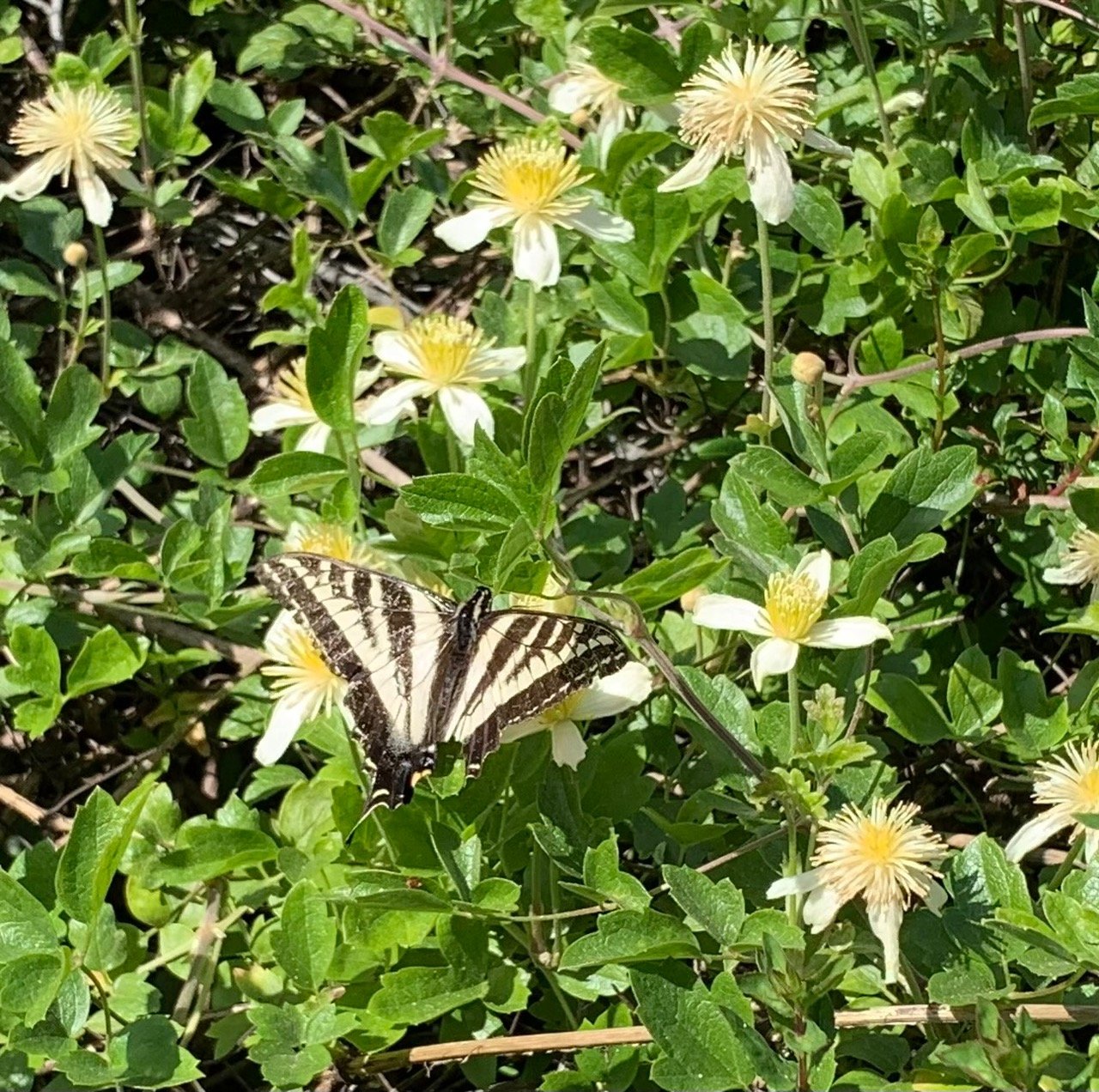
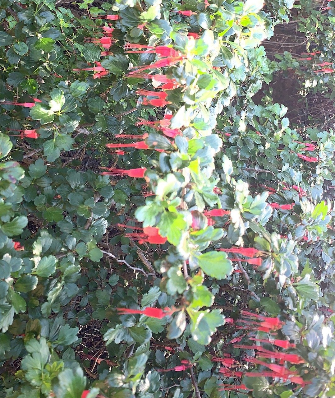
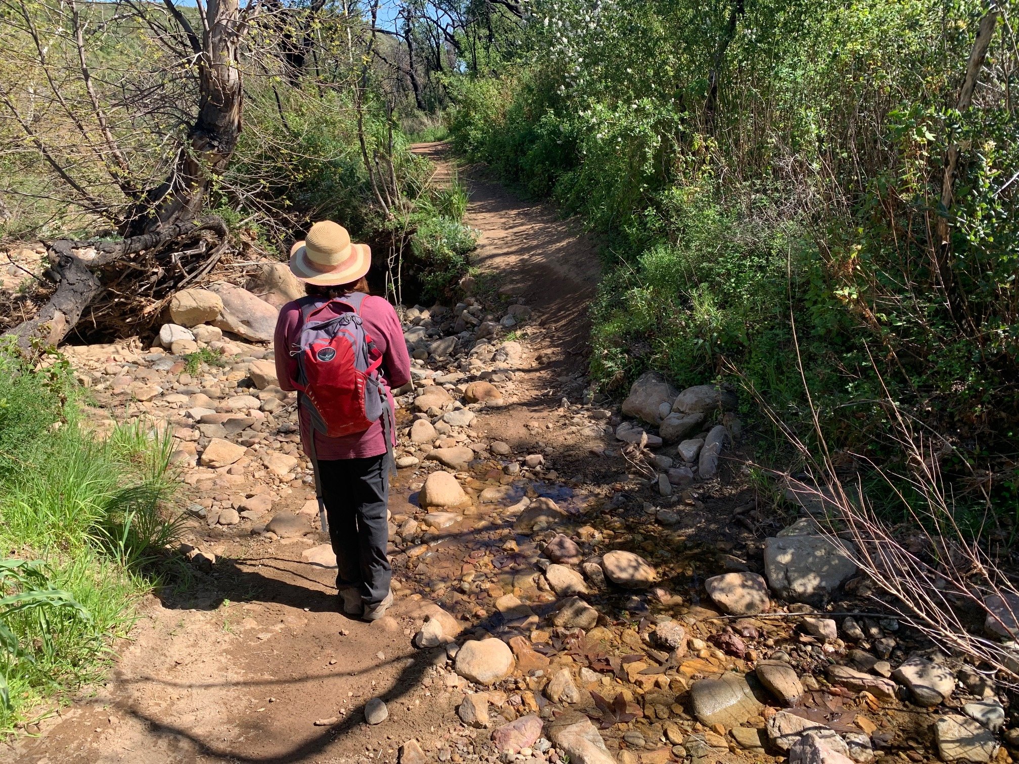
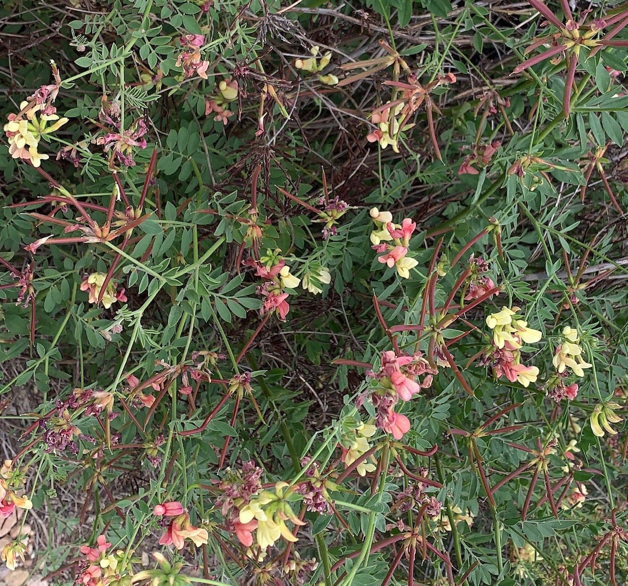
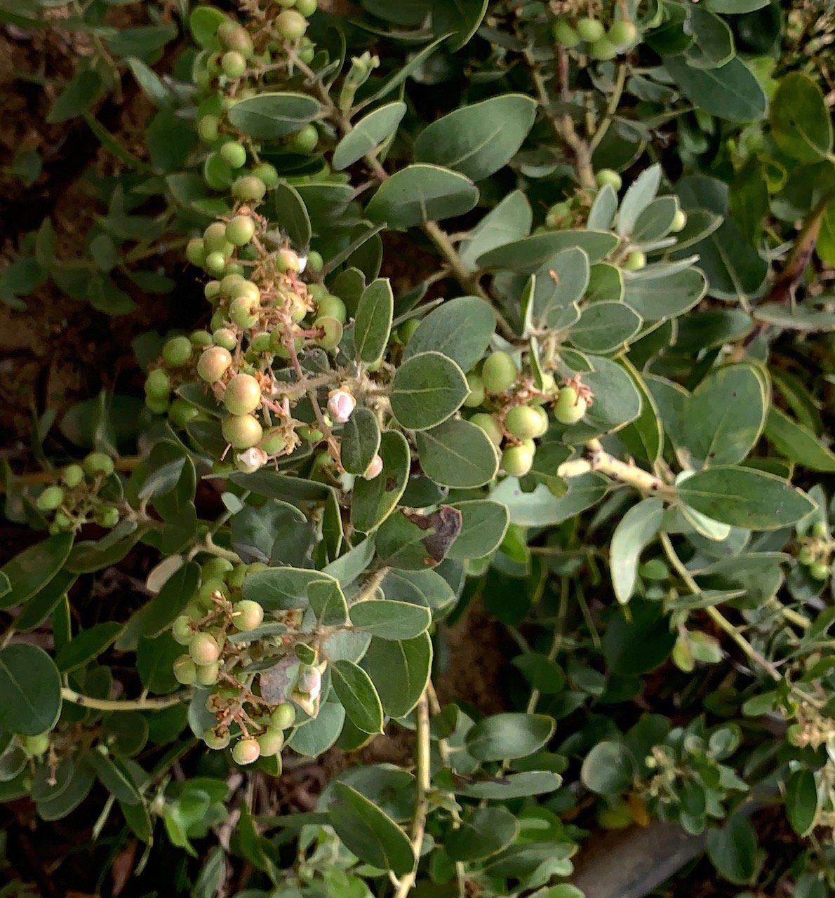
We gradually approached the roof level of a very obvious landmark - the Las Virgenes Water Treatment Plant. Here you could easily miss the single-track path that emerges onto the road at the right – we nearly did! This is the continuation of the BBT and forms a delightful last half mile. Although rutted, eroded and quite steep downhill, the trail leads through a secluded elfin forest. Here, the Man with the Camera managed to photograph two Pacific Orangetip butterflies dancing by the trail and a few more plants not previously seen – Milk Thistle, Scarlet Pea, Coastal Woodfern, Fuschiaflower Gooseberry, Pipestem Clematis and Italian Thistle. Then, it was back to reality. The road noise from Malibu Canyon signaled an imminent arrival at the parking lot and the end of our 5.2-mile hike. 45 miles done – 22 to go (approximately!)