
Hiking the backbone trail - Part 9: Lois Ewen Overlook to Trippet Ranch (Topanga State Park)
Segments 3, 4, 5, 6 in The Complete Hiker’s Guide to the Backbone Trail by Doug & Caroline Chamberlin
Hiking the Backbone Trail – Part 9
Lois Ewen Overlook to Trippet Ranch (Topanga State Park)
This hike was another example of the incredible diversity of landscape on the Backbone Trail – ocean views, deep woods, steep canyons, green meadows and arid chaparral.
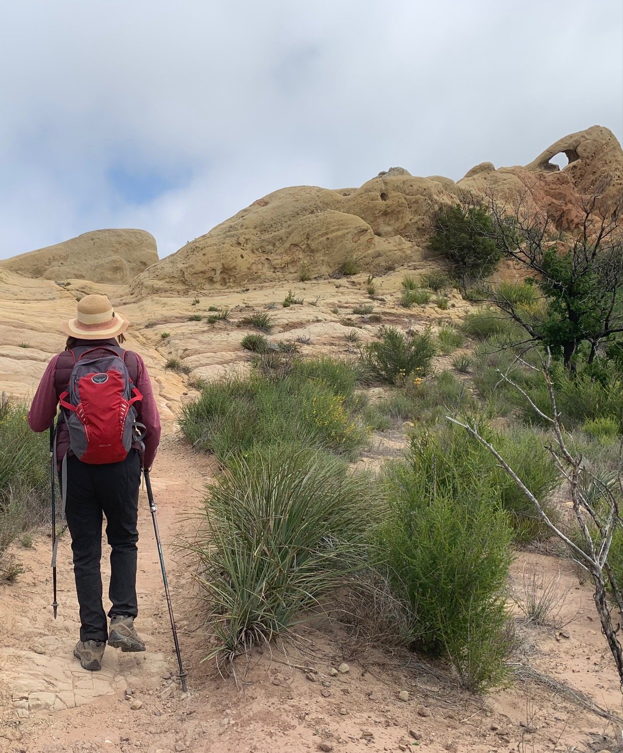
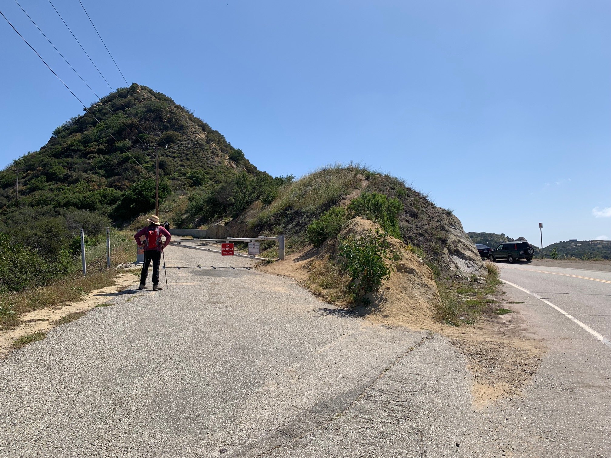
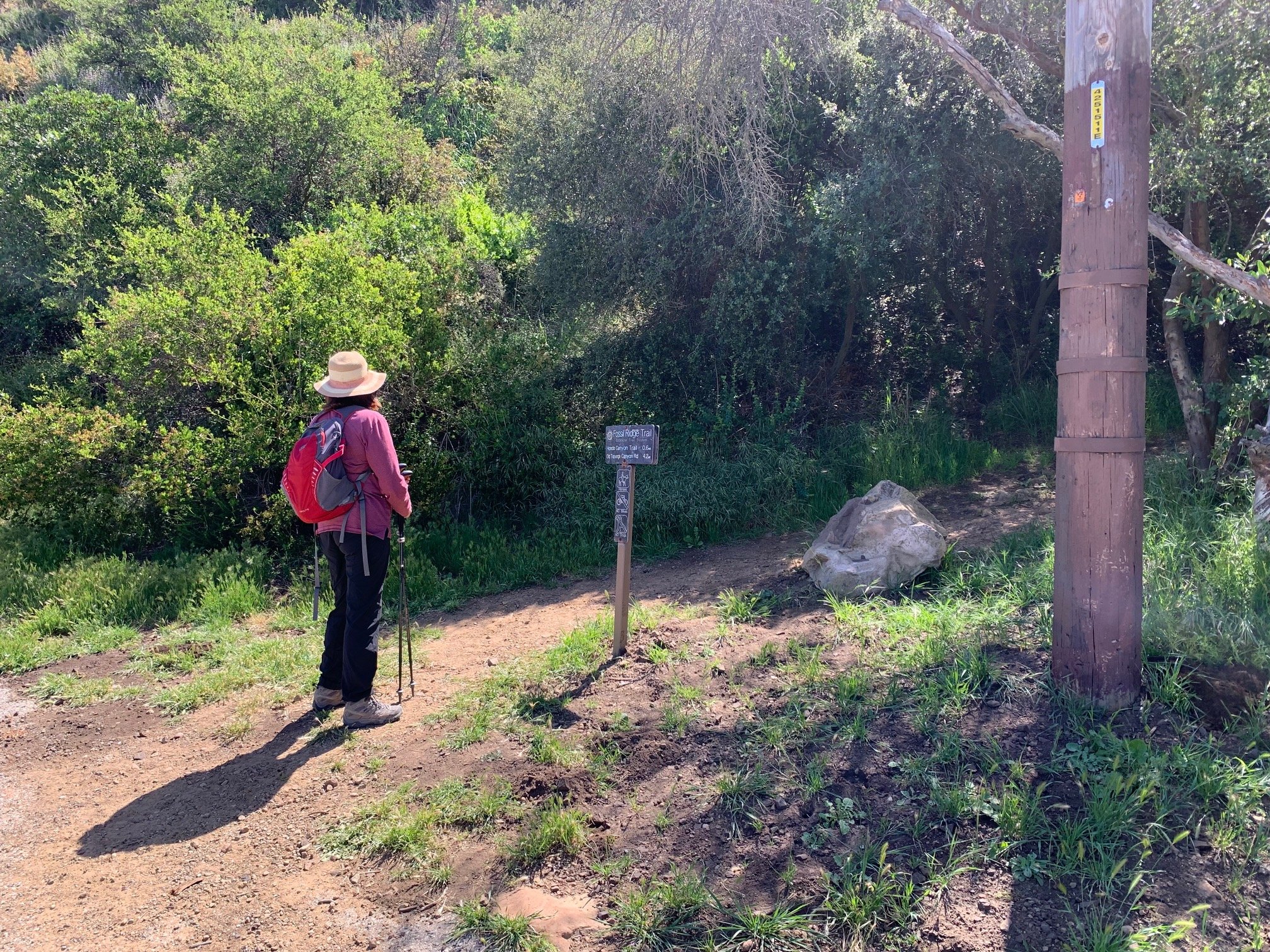
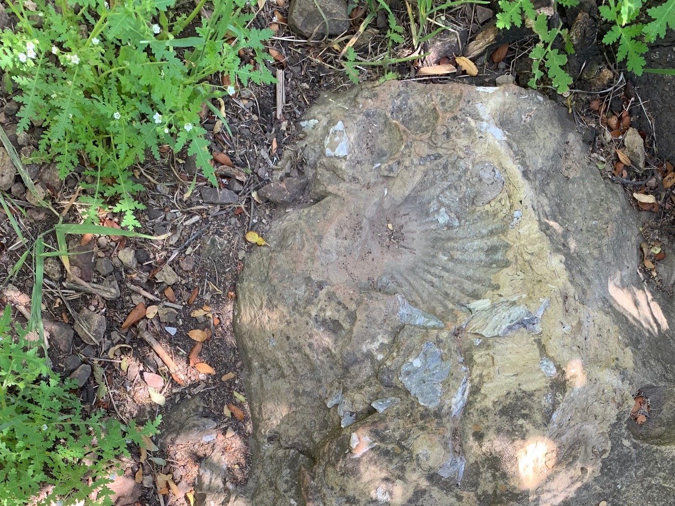
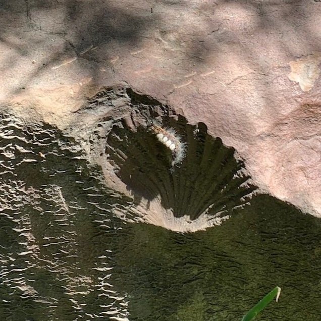
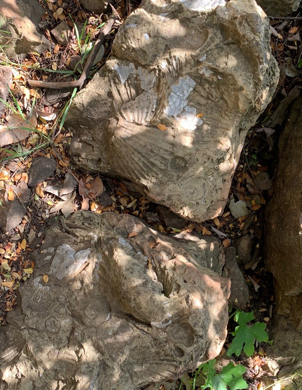
We parked at Lois Ewen Overlook and enjoyed the gorgeous views both inland and towards the ocean. Then we walked past the gate and turned sharp right at the sign to continue on the aptly named Fossil Ridge Trail for nearly a mile. A little overgrown, we spotted the fossils embedded in rocks on either side of the path.
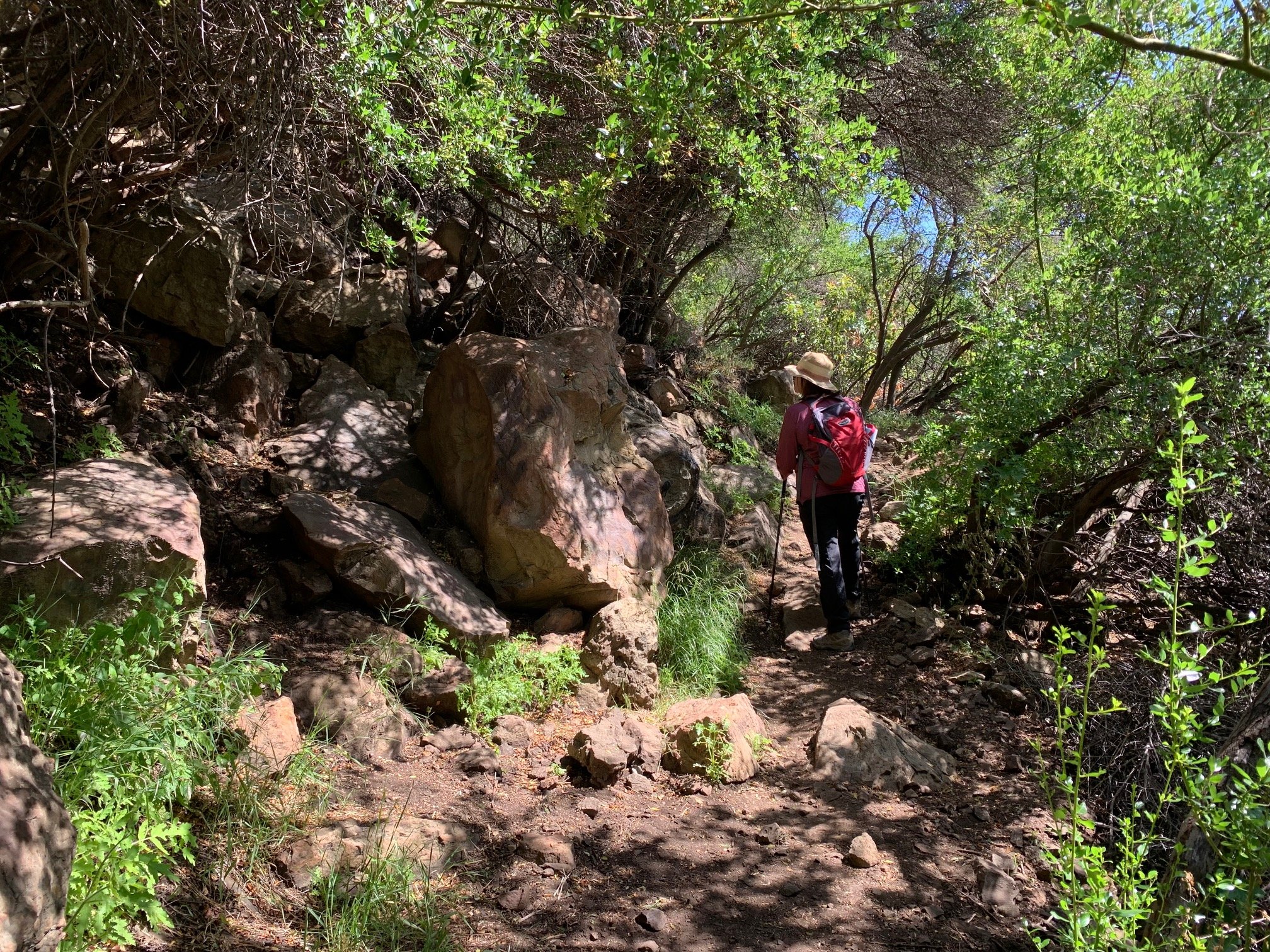
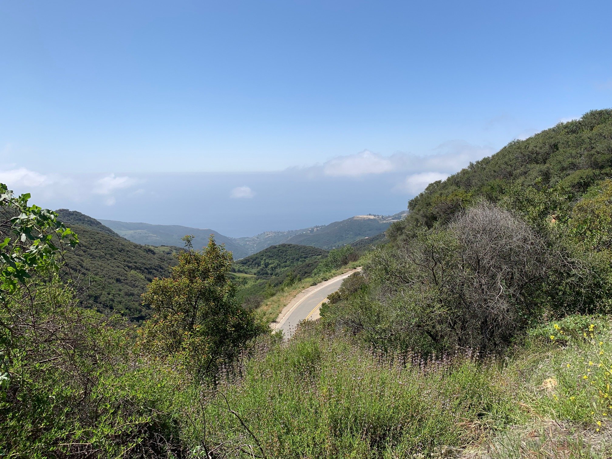
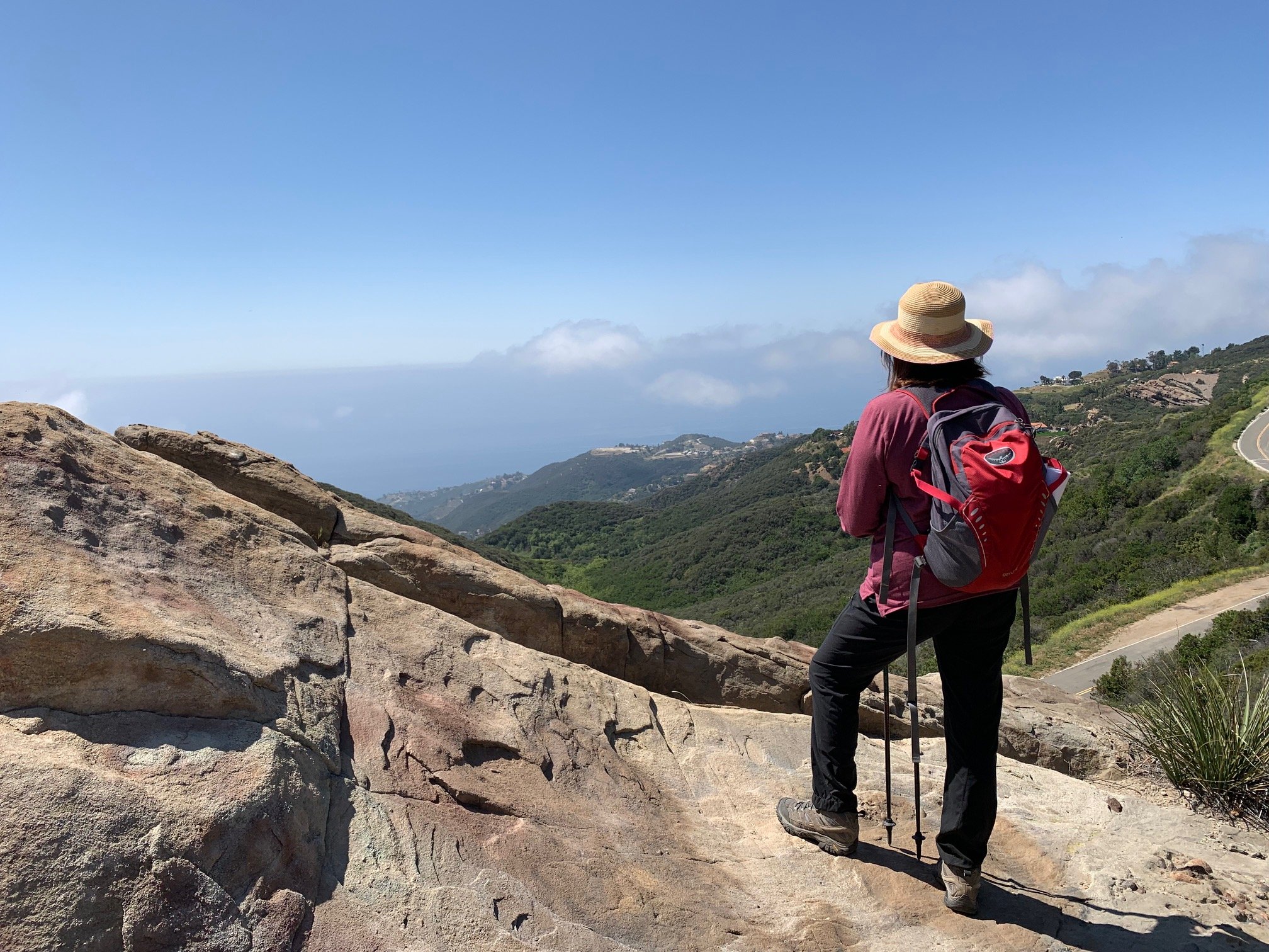
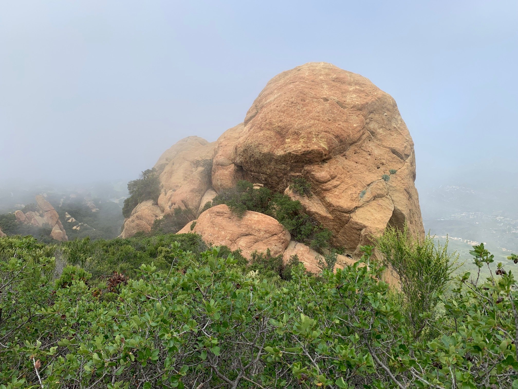
After the overlook – this hike’s last glimpse of the Pacific - the trail then turned inland and headed down into Hondo Canyon, one of the most dramatic in the Santa Monica Mountains. The switchback path went through dappled woodland of oak and bay at a steady descent. This is mostly easy walking and not too steep. On leaving the woods, the trail continued down through sunny chaparral of ceanothus and manzanita on a steeper, rockier descent. At the canyon base, it bottomed out to a short uphill through an elfin forest. The top of this slope forms the divide between Hondo and the neighboring canyon.
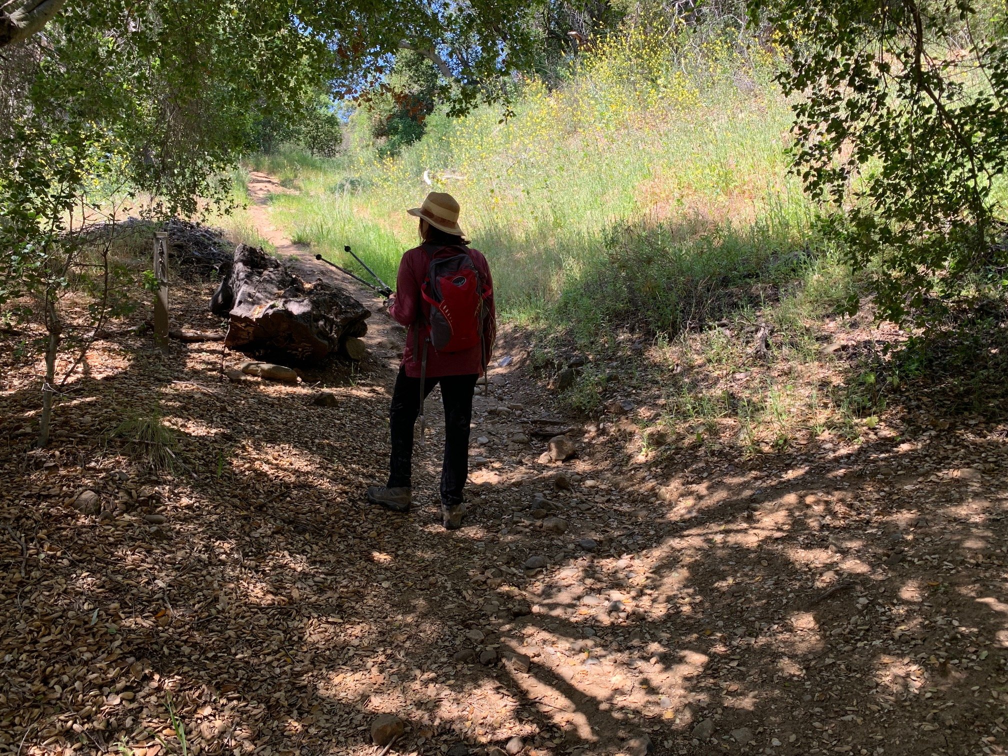
Descending into this next canyon, the trail opened out to reveal an almost Alpine landscape of meadows, woods and houses dotted on hillsides.


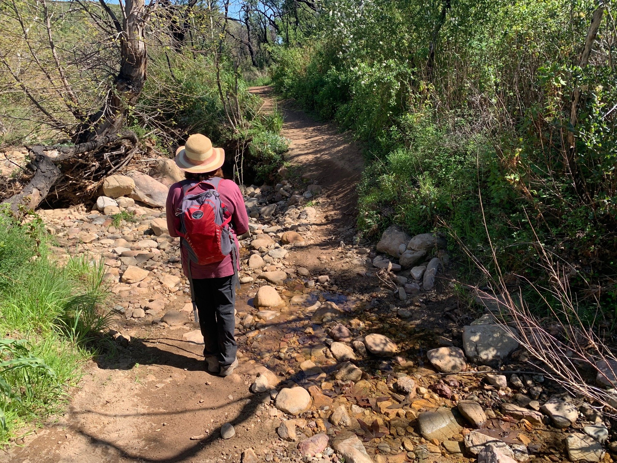
We then came to an unmarked fork in the path. We kept left and continued along the contour of the hill until we reached an old concrete ford. Along this stretch, The Man with the Camera spotted more plants - Western Blue- Eyed Grass, Purple Chinese Houses and Spreading Rush. The path then continued through woods to the Old Topanga Canyon stream where we hopped over the stones and climbed up to Old Topanga Canyon Road.
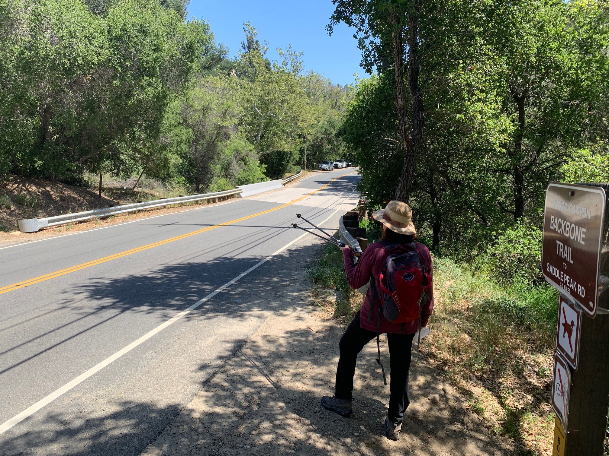
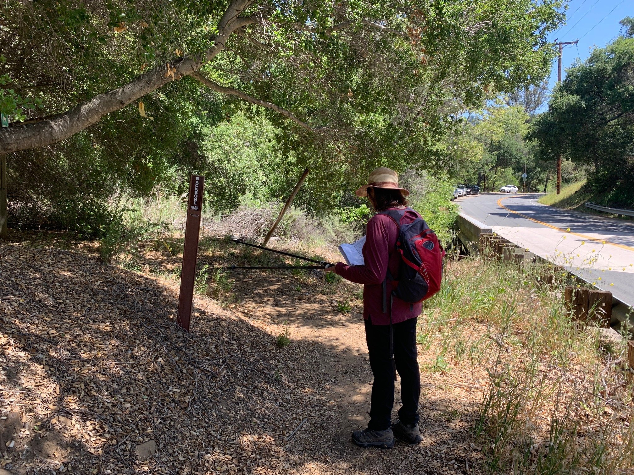
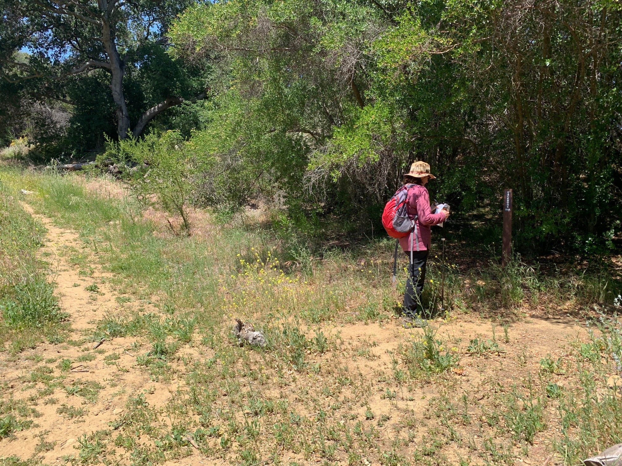

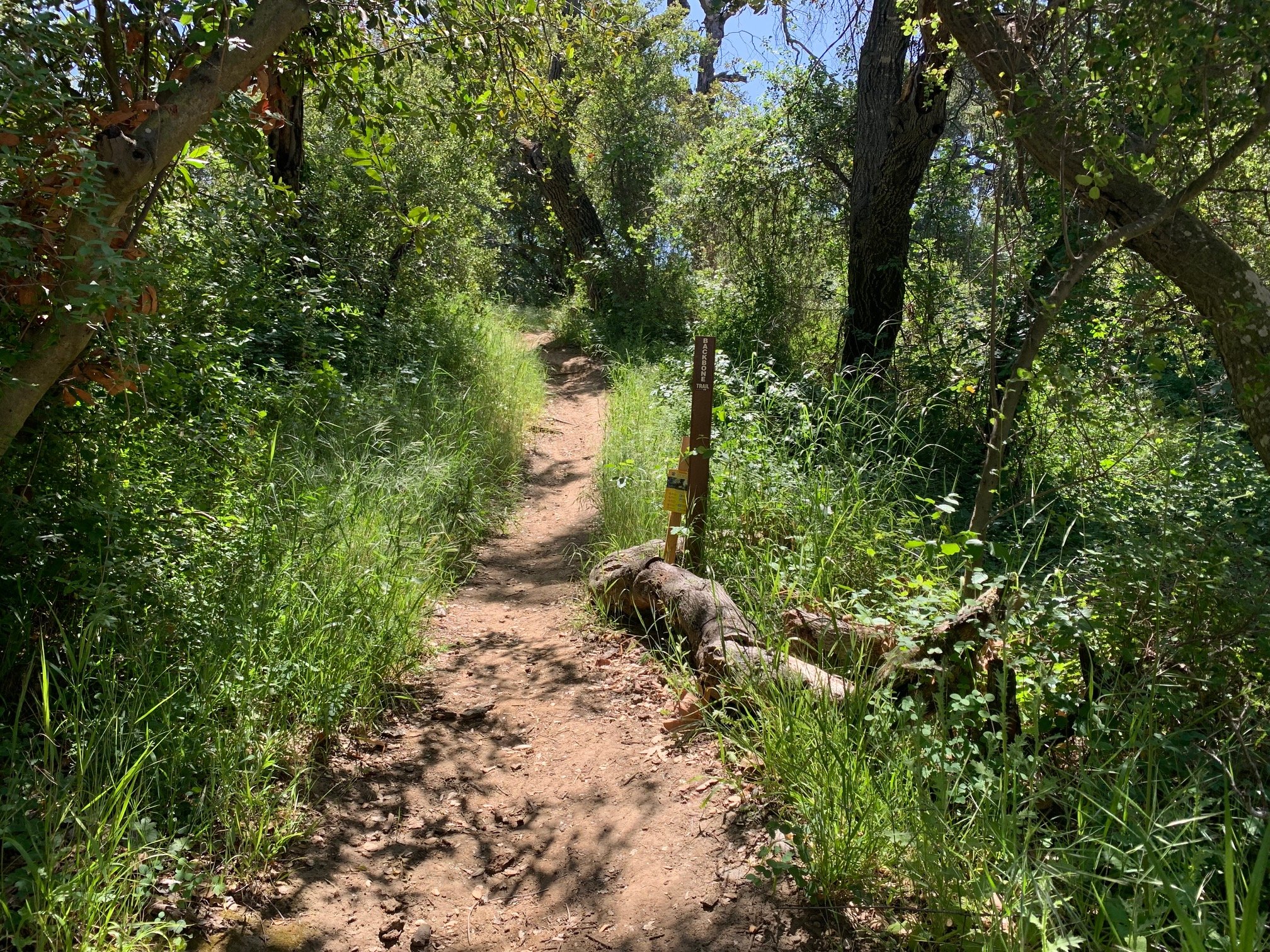
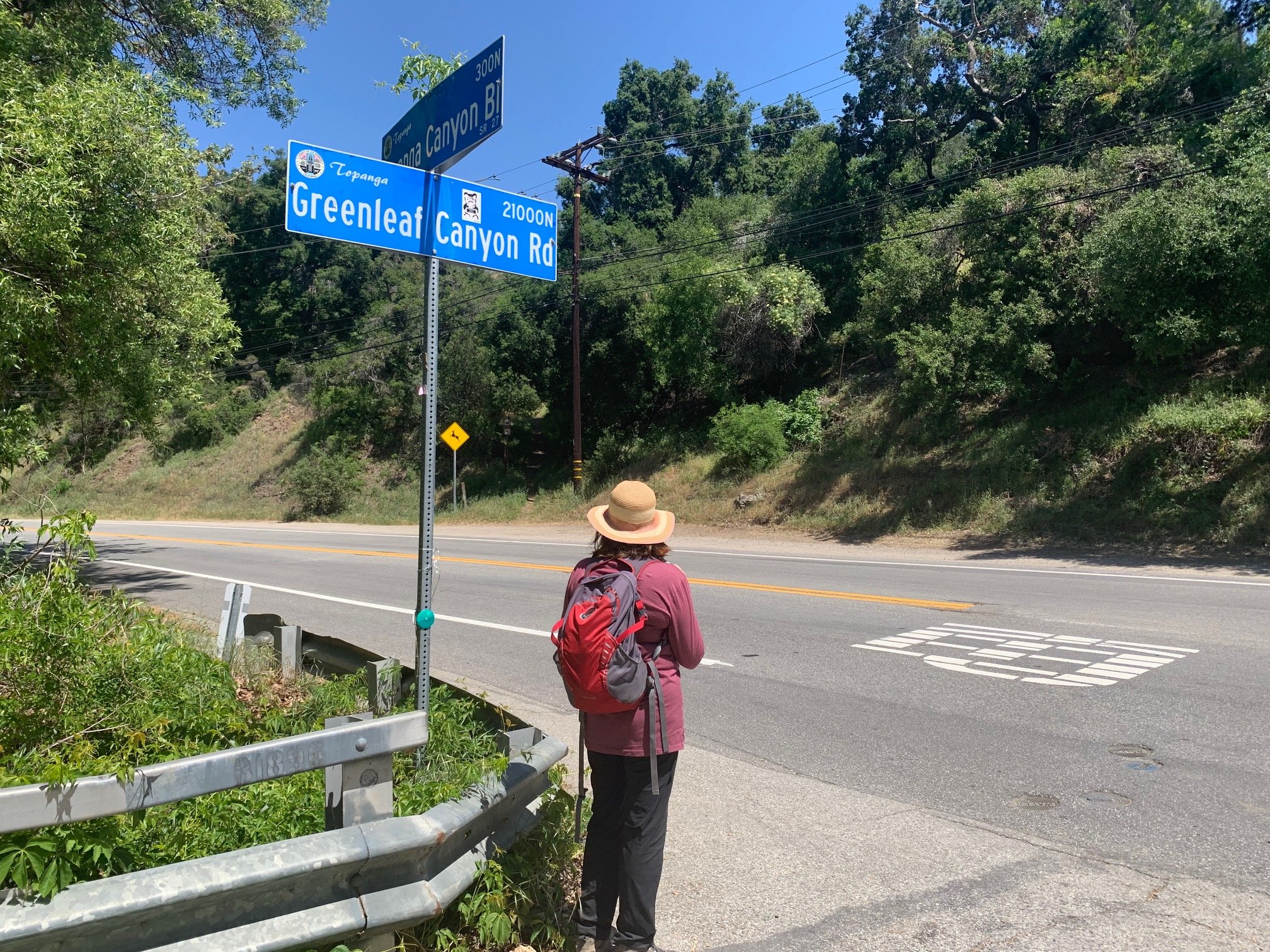
The next segment was the most confusing and noisy on the BBT. This 0.8-mile trudge goes over the ridge that divides Old Topanga Canyon Road and Topanga Canyon Road with constant traffic noise in the background. It is a steep 200ft+ uphill and then a steep descent. We turned sharp left up the hill marked as a horse trail. This eventually emerged by some large containers at the back of Topanga Elementary School. Here, we saw a chain gate, so went around this and continued uphill to the left. About half way up the hill there was a turning on the right signed Backbone Trail. We continued here to an unmarked fork, kept left and continued down the hill past some numbered poles on the right of the trail. At Greenleaf Canyon Rd, we turned right, crossed the bridge and scuttled over the very busy Topanga Canyon Road to begin the final mile of the hike.
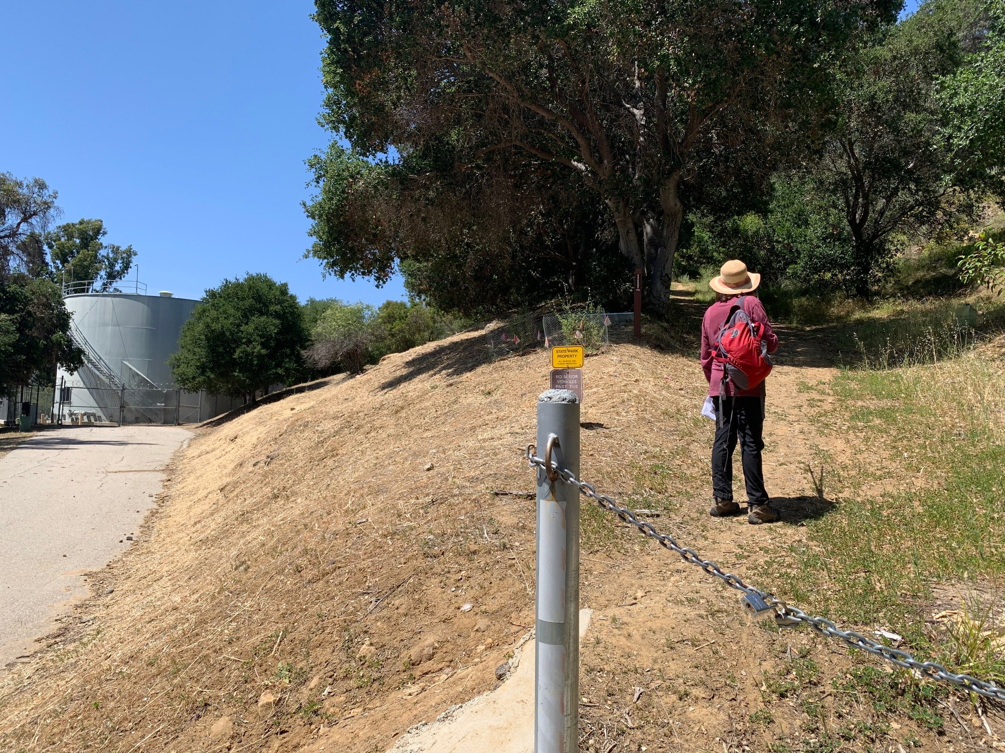
The trail continued just across the road from the Greenleaf junction. We followed it uphill to the Dead Horse Parking lot then, behind the signpost, we picked up the delightfully named Dead Horse Trail (BBT is not mentioned at all for the rest of hike). Following Dead Horse Trail and Trippet Ranch signs we walked for the next mile across a shady creek and up a stepped and steep hill through somewhat unprepossessing sandy, chaparral landscape. Tiny Scarlet Pimpernel flowers – more salmon pink than scarlet - dotted the trail along this section. After ¾ mile, the landscape opened up to reveal the beautiful Musch meadow and an ancient oak woodland. We walked along the old wooden fencing with the meadow on one side and ancient shady oak woodland on the other till we reached the paved road and the right hand turn into the Trippet Ranch parking lot.
56 miles done, 11 to go!