
Hiking the backbone trail - Part 11: TIPS AND TRICKS FOR THE BACKBONE TRAIL
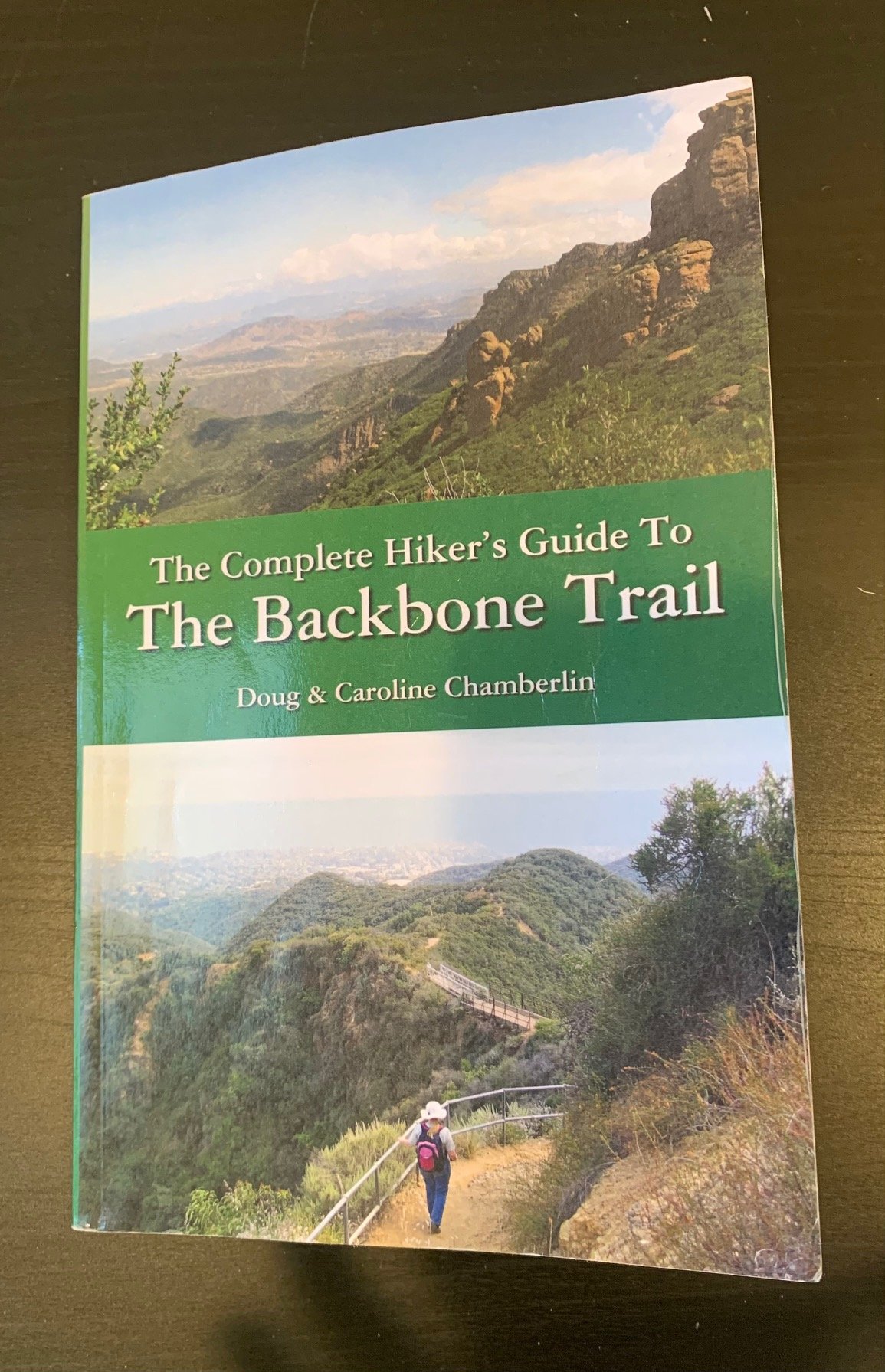
With thanks to The Complete Hiker’s Guide to the Backbone Trail by Doug & Caroline Chamberlin
What to take: There’s no doubt that hiking the Backbone Trail (BBT) has an element of adventure about it. It may be very close to the city and, in places, within spitting distance of suburban communities, but some sections are very remote. So, as the famous Scout motto states, it’s vital to ‘Be Prepared’.
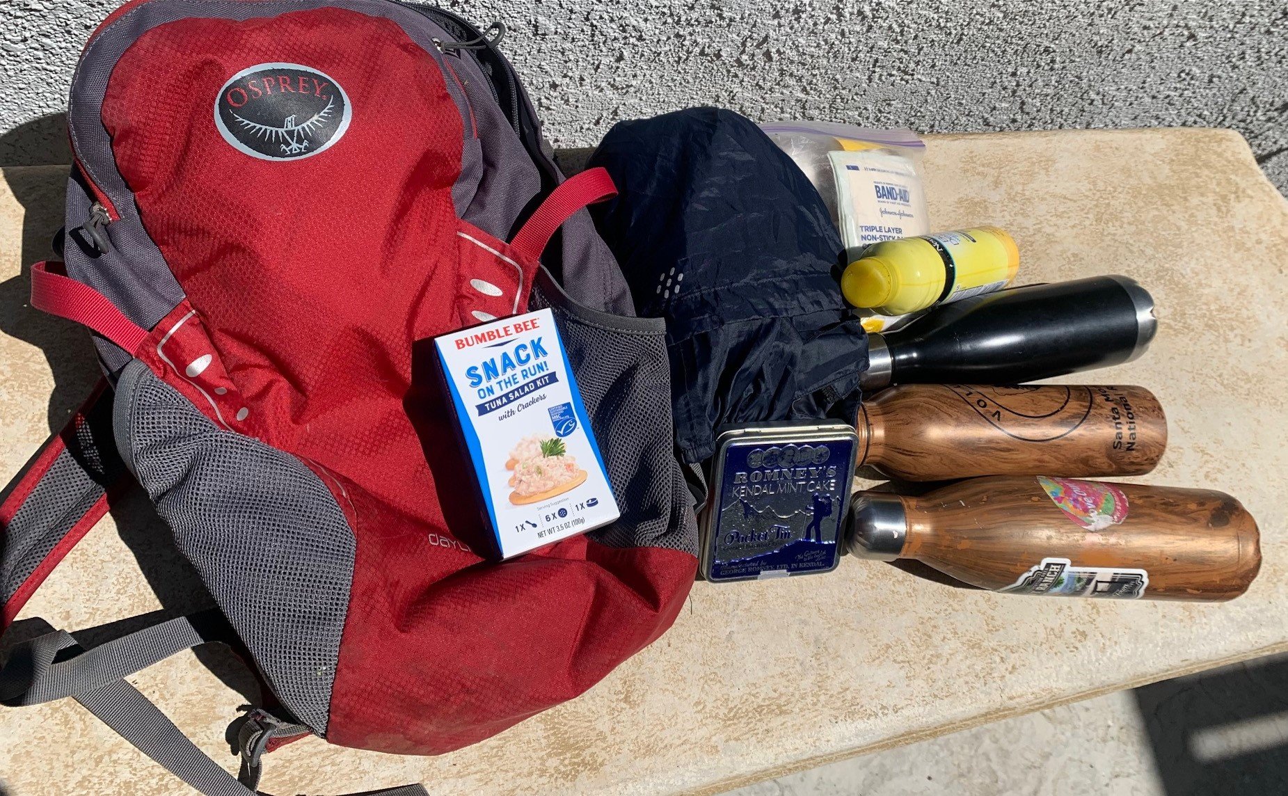
First off, water. Dehydration can be a real problem in this heat. Start hydrating the day before you hike. And bring at least one quart of water for every hour that you’ll be hiking. Dehydration is very unpleasant and can be dangerous. Know the symptoms of heat sickness so you are aware if it starts to hit.
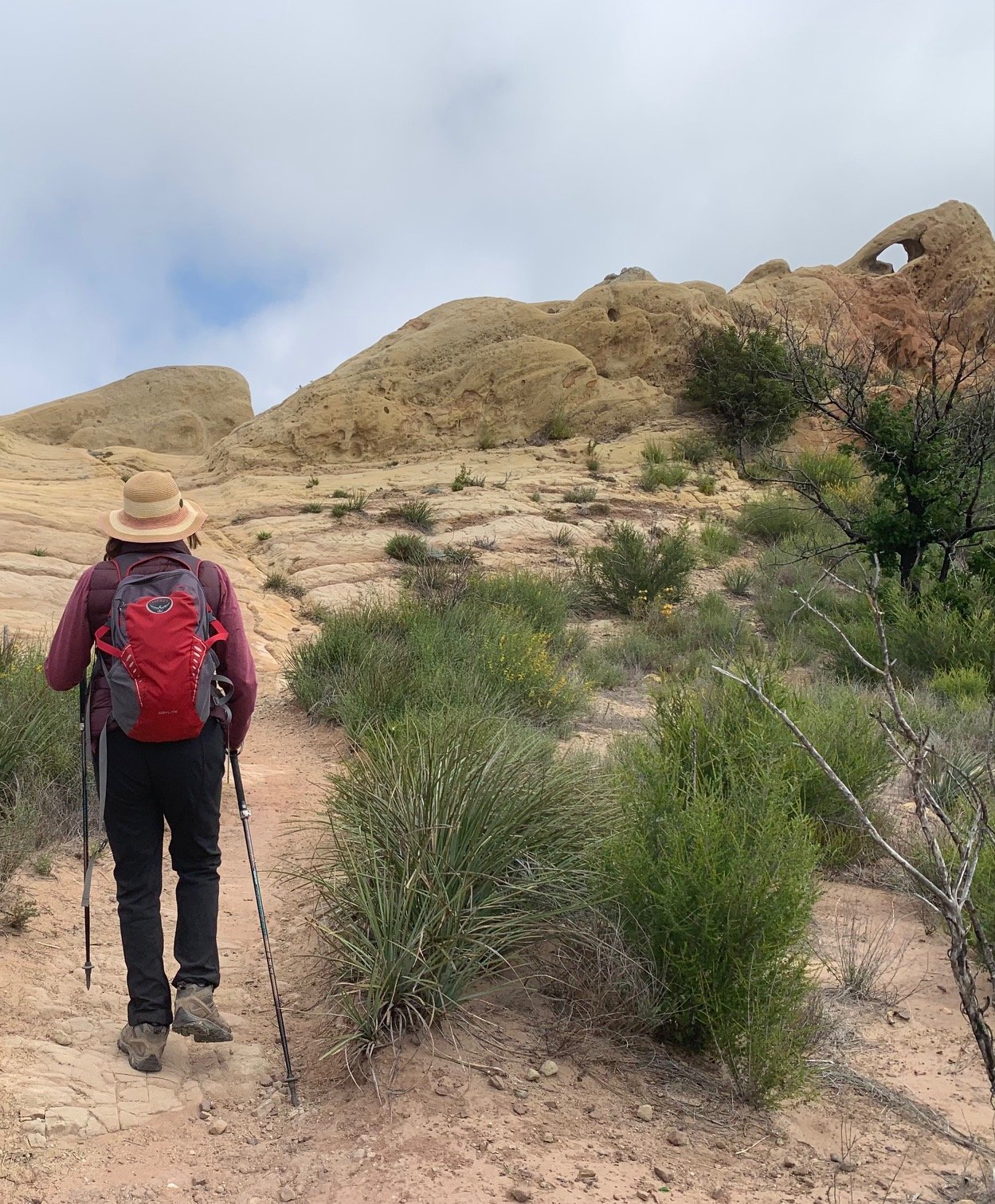
Shoes – always wear proper hiking shoes / boots. There will be rocky, steep sections on part of every hike and in places it will be gravelly and slippery. Sneakers won’t cut it.
Equipment – I always hike with sticks. It stops my hands swelling and provides balance on the rocky trails, particularly the steep descents. But they are not for everyone. So, work out what equipment works for you and feels safe before embarking on a long hike. Whatever you decide, always carry a first aid pack in case of trips, cuts, bruises etc. And take an extra layer of clothing. It might even rain one day!
Also, bring food. You may get wobbly and just need a bit of energy to get you through that last mile to the finish line. Or, you might simply want to enjoy a picnic at one of the stunning viewpoints.
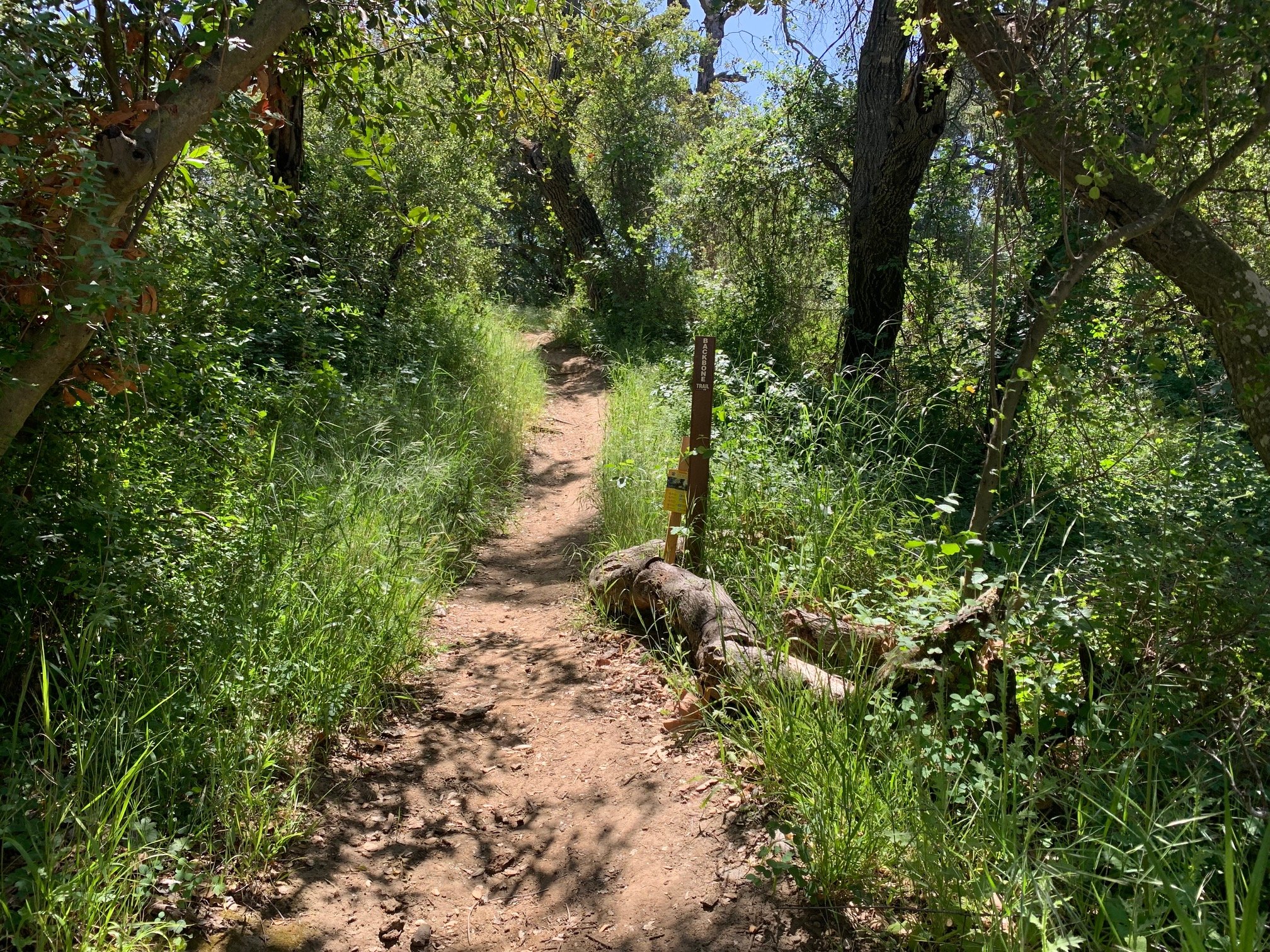
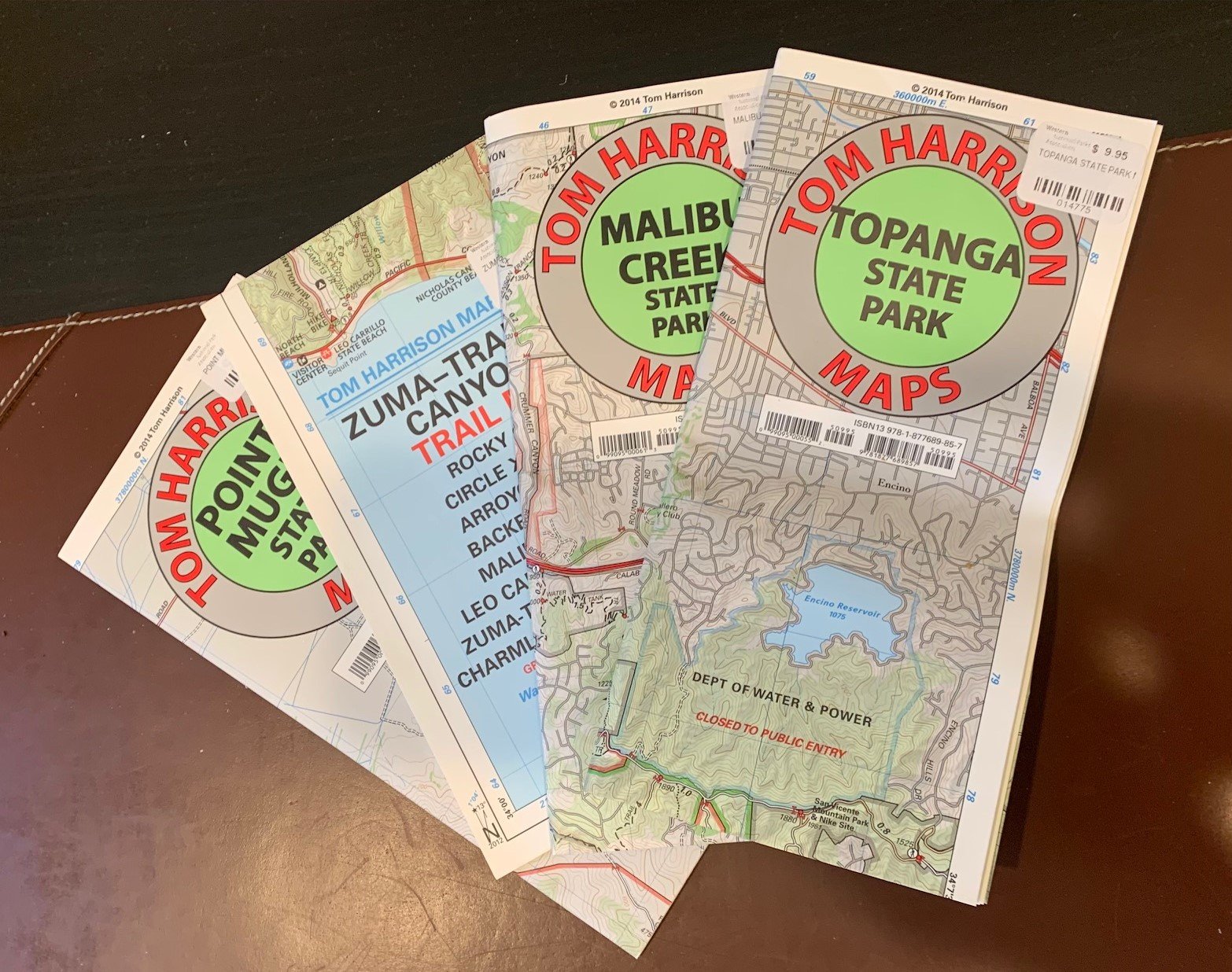
Always take a map. The phone signal is not reliable and, although the trail is mostly well-marked, there are times when this is not the case. We also scanned and printed the relevant pages from The Complete Hiker’s Guide to the Backbone Trail as a back-up.
Hike with a friend. Or, if you insist on hiking alone, tell someone where you are going and when you aim to return so they can raise the alarm if you don’t check in on time.
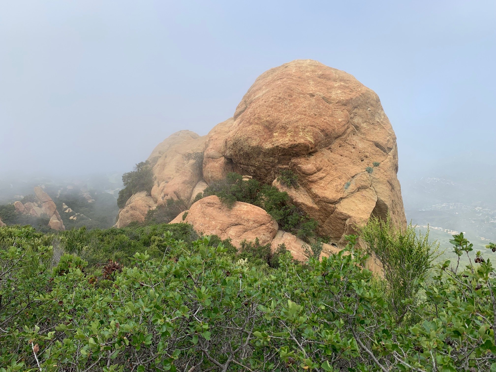
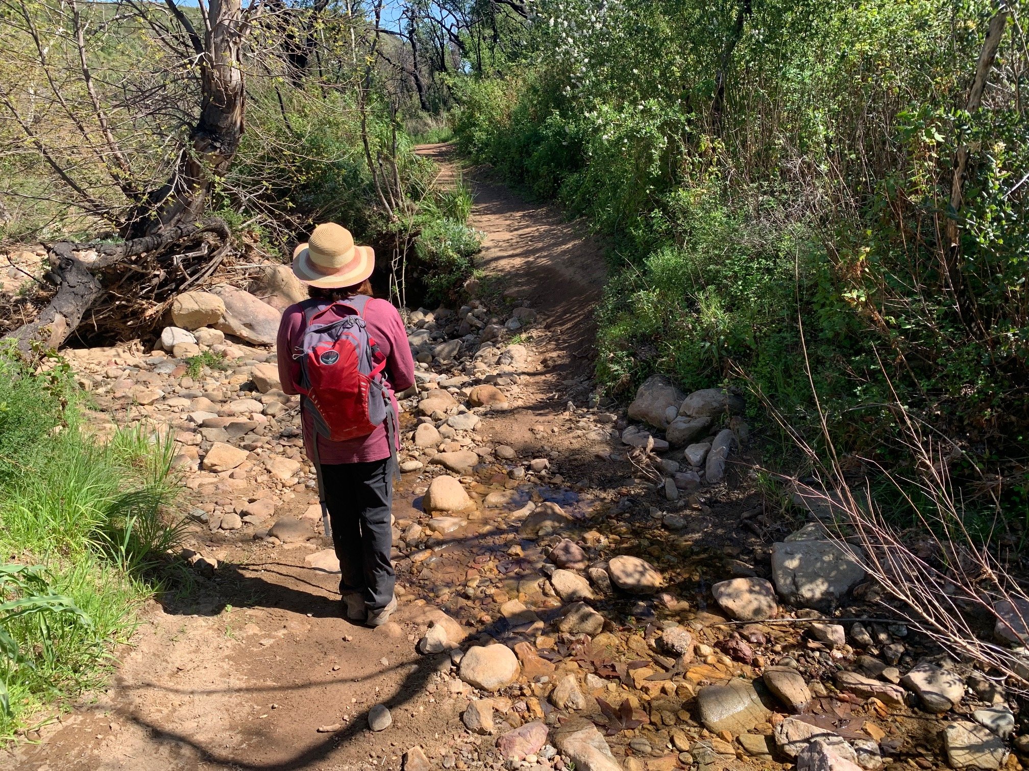
What to expect: This is a beautiful hike – no question. You will see an incredible variety of landscapes: shady woodland, deep canyons, vast ocean panoramas, huge rocky outcrops, dry chaparral, high country creeks, green meadows, dry ravines and, of course, the Los Angeles skyline. Not forgetting the geological and cultural landscape from fossils trailside to ranching artifacts, 10,000 years of human habitation (and modern graffiti).
We recommend doing the hike from January through May before the summer heat kicks in. You will see a vast array of plants and flowers. The hills are more likely to be green rather than California gold (brown), and many are covered in flowers. If you do take on this challenge later in the year, consider starting very early in the morning to get the best of the weather.
The BBT is considered moderately strenuous in the guidebooks. Some people will find it easy and other may find it too tough. So, do a few practice hikes and work out your fitness levels. As a reasonably fit 50-something, I found it very doable. But, on a couple of occasions, I was very tired at the end of the day.
What direction: Mostly, we went in order from west to east starting at the Ray Miller trailhead and finishing at Will Rogers state park dividing the trail into 10 sections. But, on parts 3 and 8 of the hike, we went east to west as descending over 1,600 ft seemed preferable to the reverse. And part 2 was done out of order because it was a very hot day and we wanted shade.
What we liked most: Nearly all of it for different reasons. I particularly enjoyed stream hopping in Solstice Canyon (part 6) and the sense of wilderness beyond Sandstone Peak (part 3) as well as all the stunning views. But most of all, it has to be the flowers. So many flowers. Hillsides of gold and fluffy white flowers as well as meadows dotted with purple and pink blooms. The wonder of seeing so many different plants of such variety – hairy, smooth, olive green or brightly colored. What’s not to love?!
What are you waiting for? If you decide to check it out, we’d love to hear from you. Tag @samofund on Instagram and Twitter and @santamonicamountainsfund on Facebook. This is your national park and your trail. By going out to explore, you are helping support our mountains, our home!
For more info on the hike, what to take and how to prepare, check out the National Park Service series of videos:
www.nps.gov/samo/planyourvisit/mapsforbackbonetrail.htm