
Hiking the backbone trail - Part 10: Trippet Ranch to Will Rogers state Park
Segments 1 and 2 in The Complete Hiker’s Guide to the Backbone Trail by Doug & Caroline Chamberlin
The final section of the Backbone Trail (BBT) was quite the dramatic hike. It’s a long 11.5-mile day, but so worth it as it encompasses everything that the BBT is known for – ocean views, meadow, shady woodland, dusty chaparral, rocky outcrops and deep canyons.
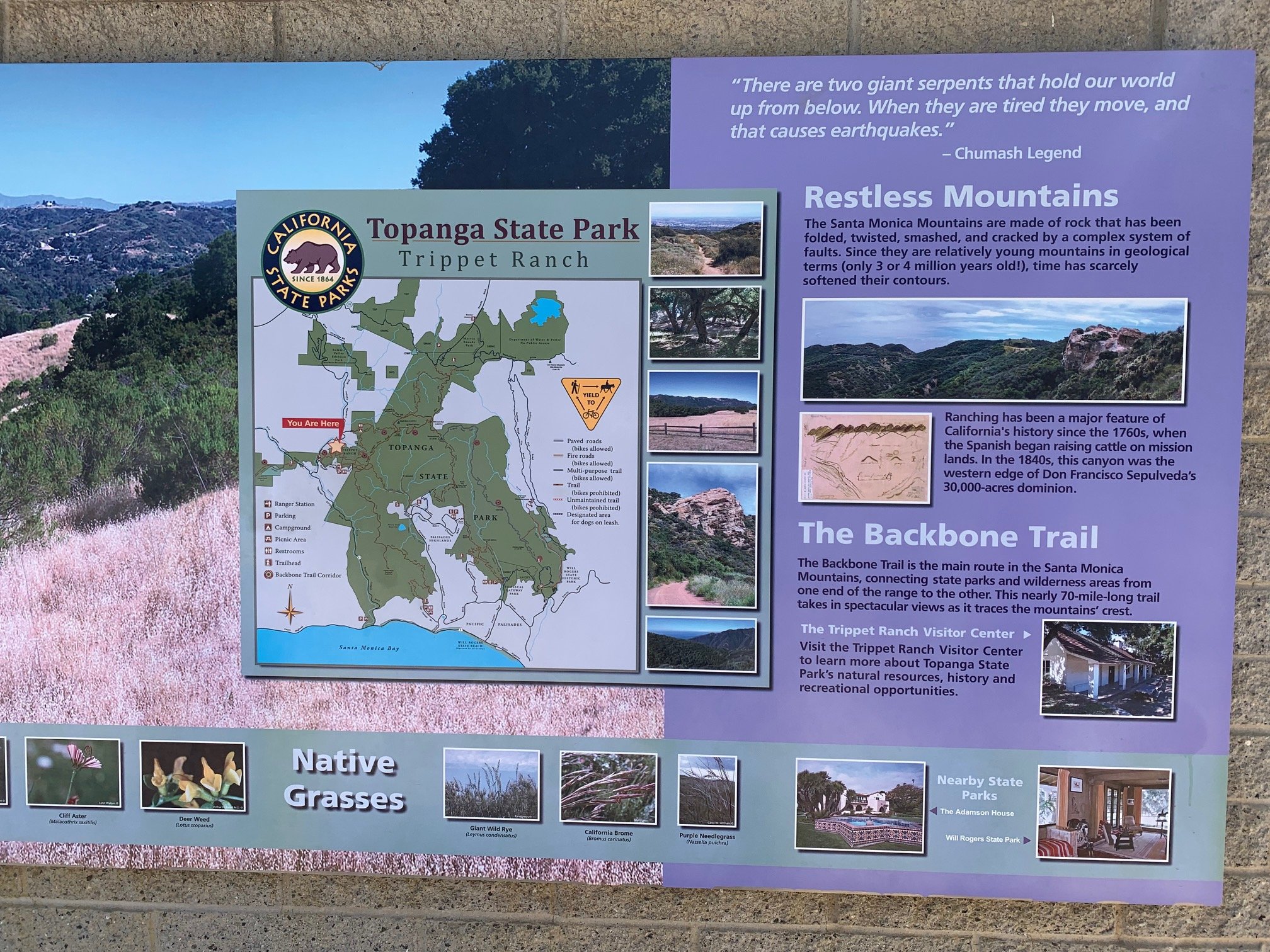
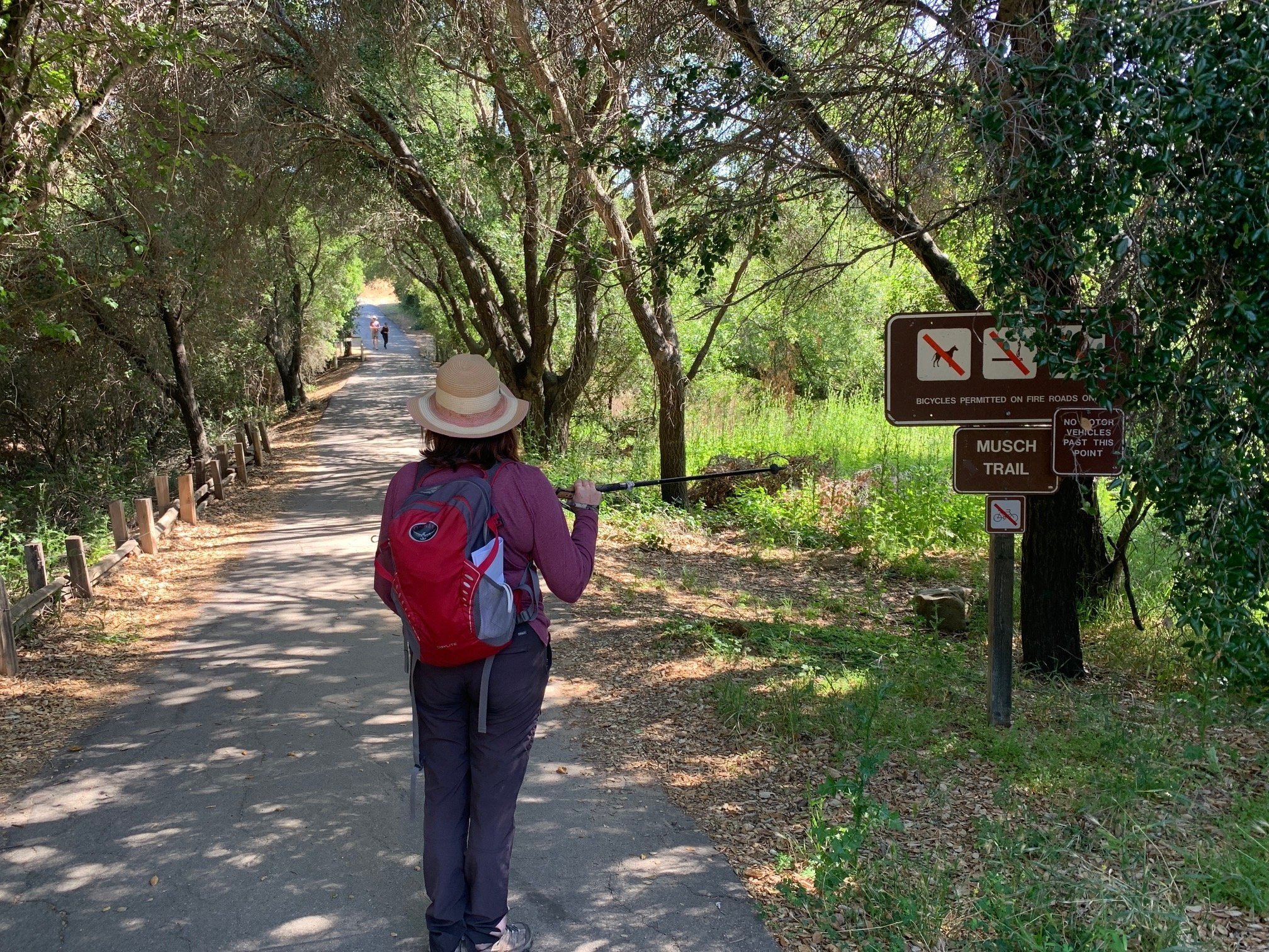
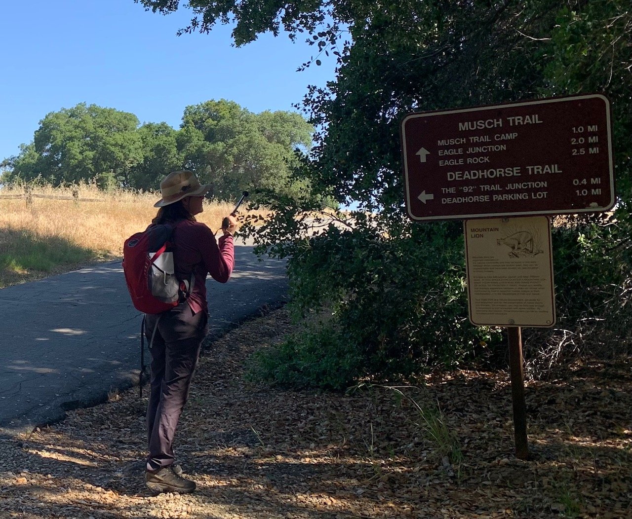
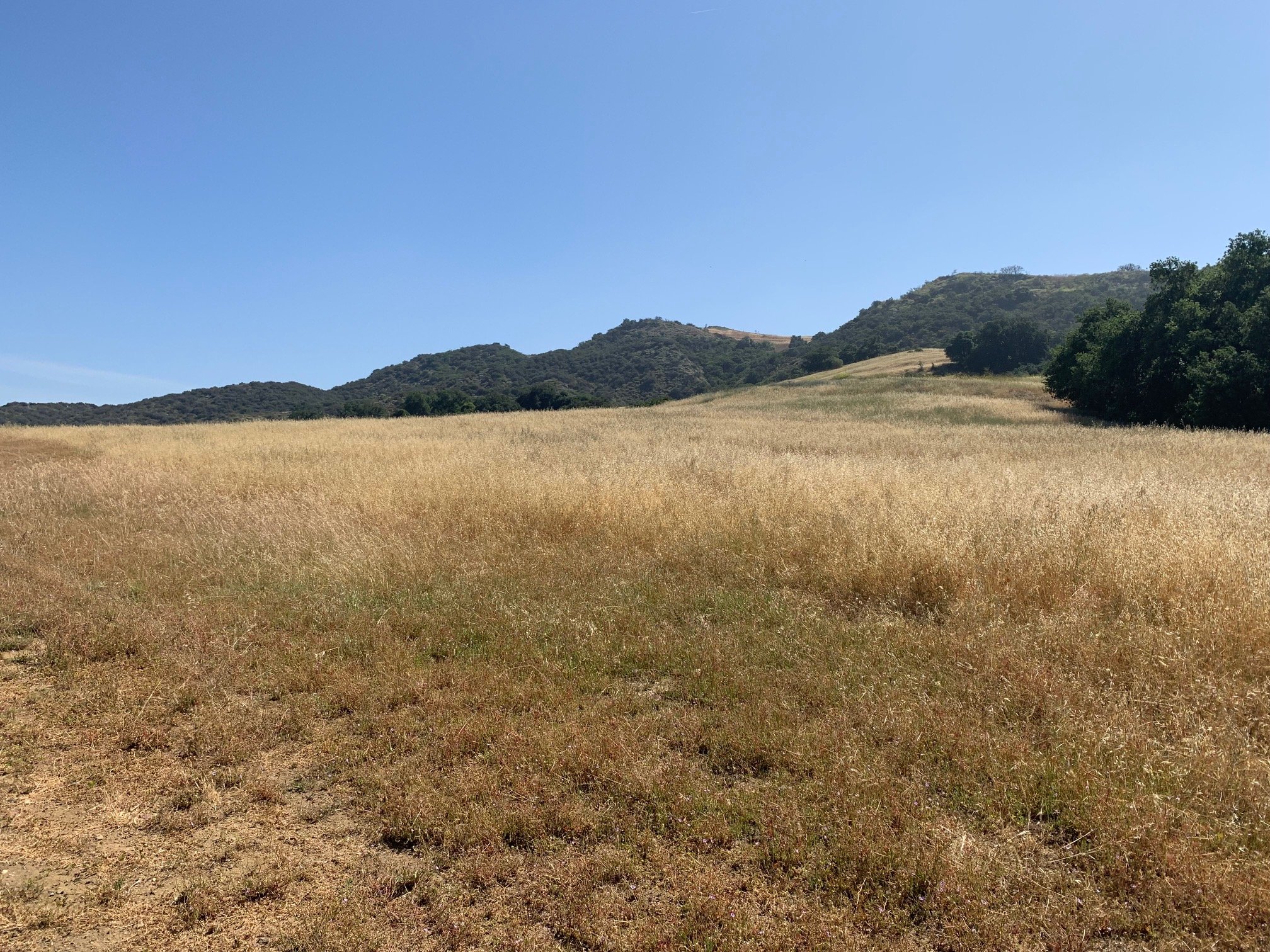
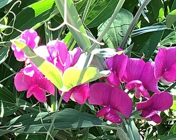
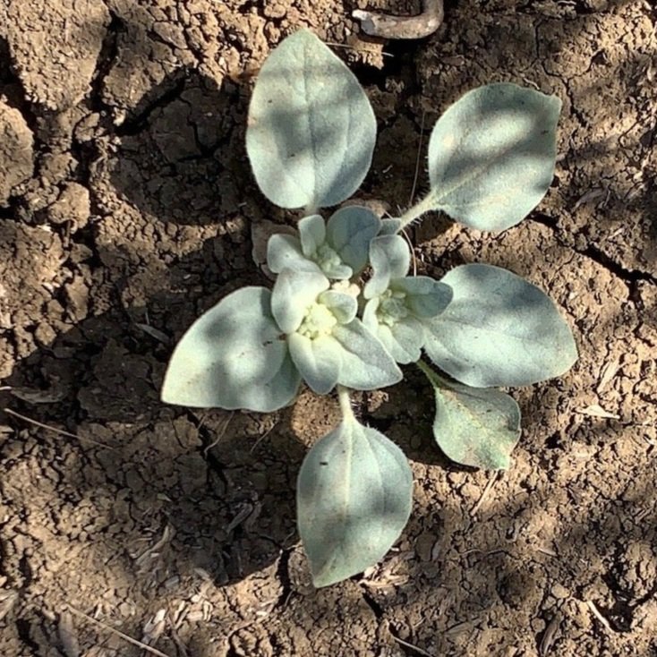
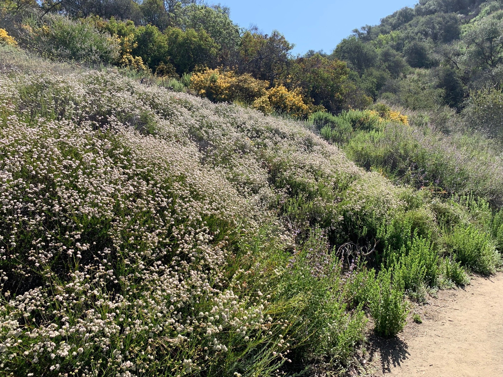
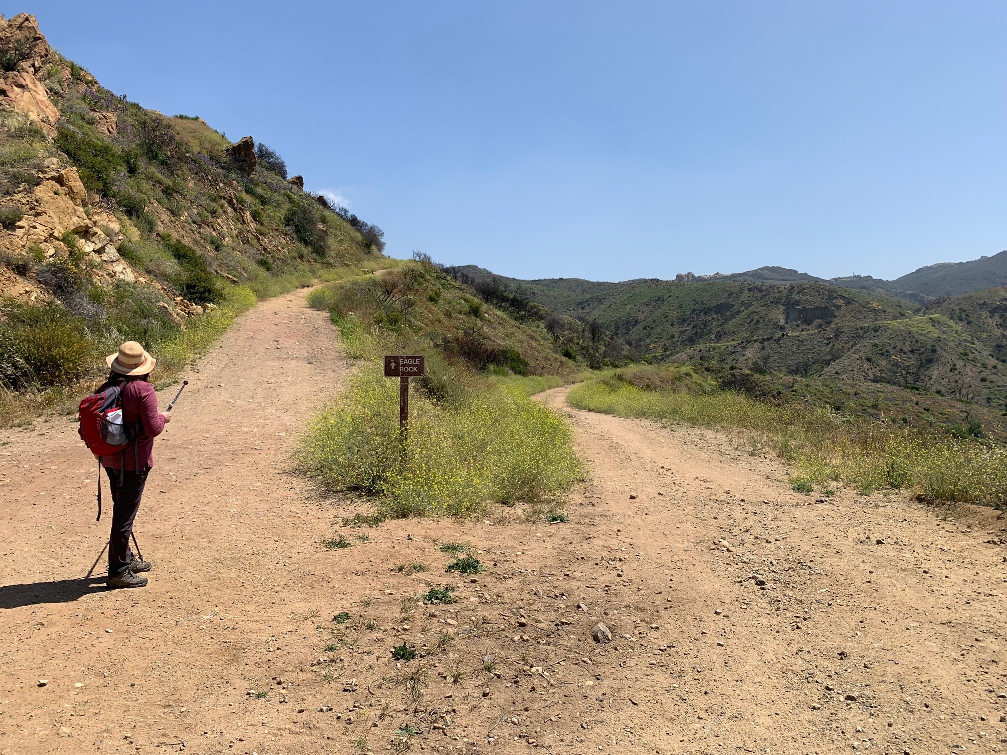
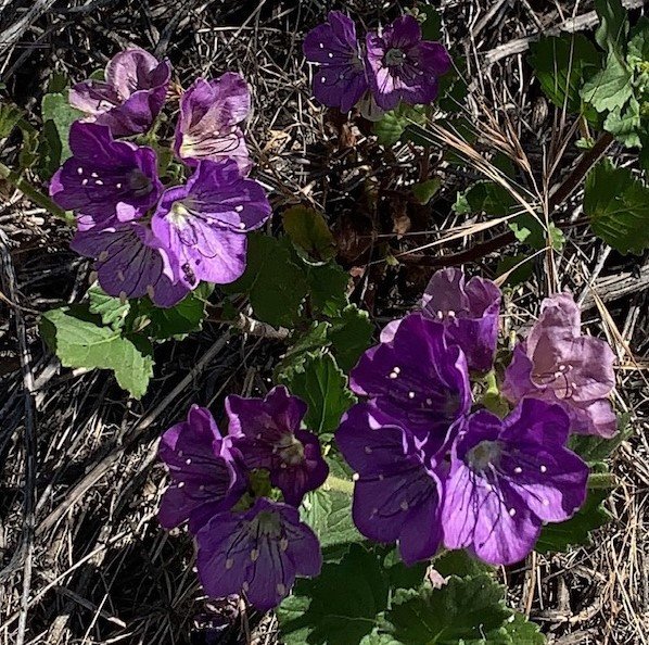
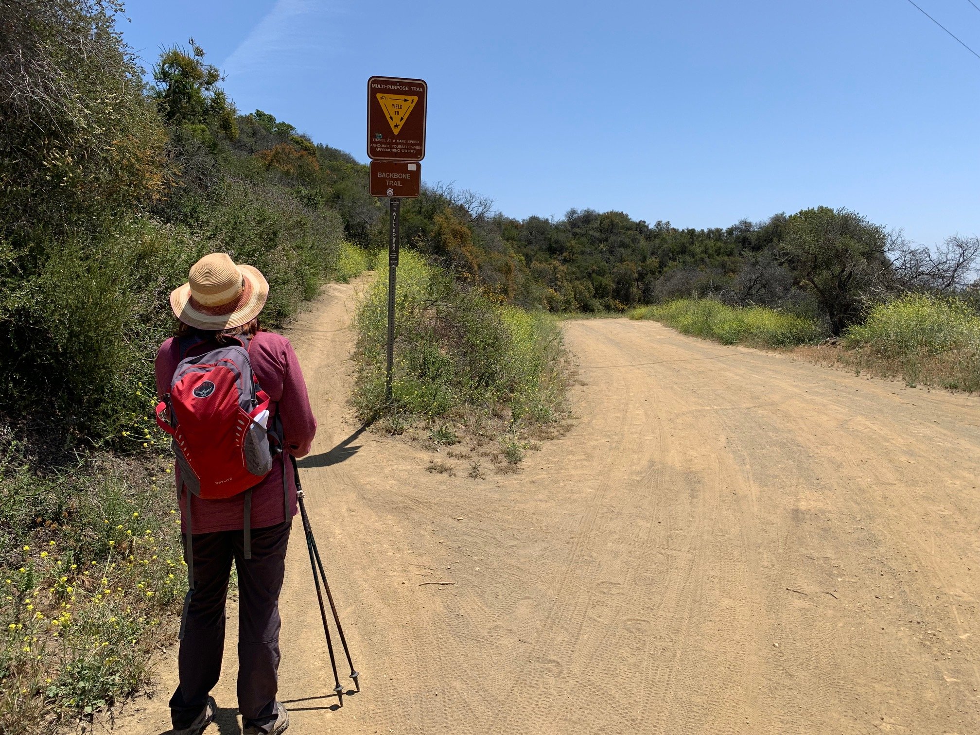
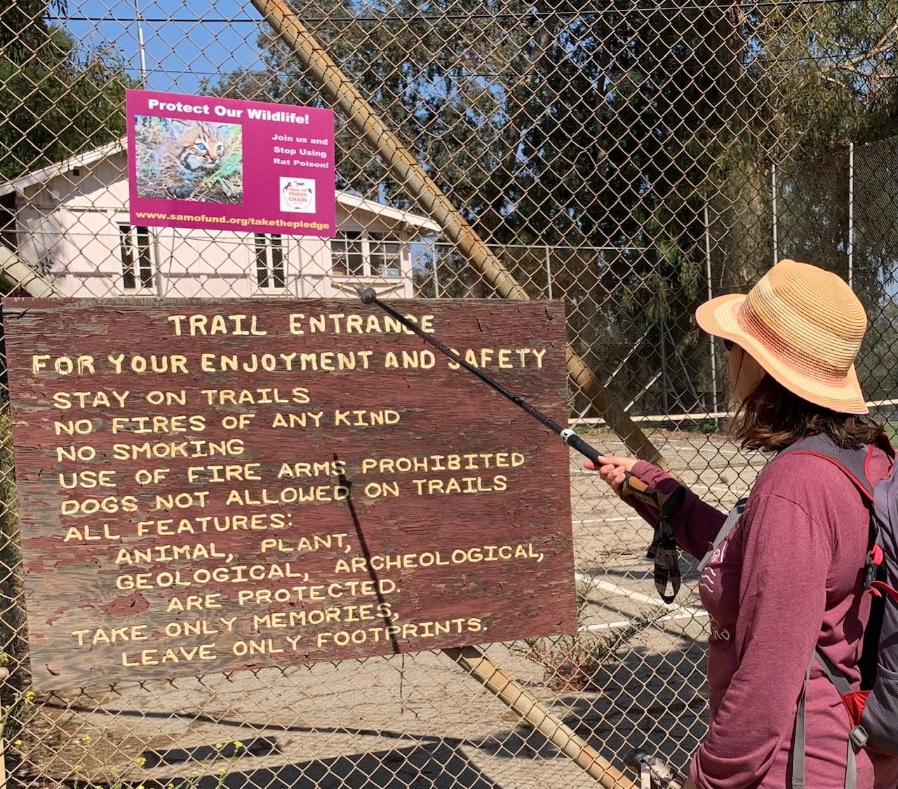
We set off from Trippet Ranch. The start of the hike is along Musch Trail as it heads towards Eagle Junction. We wandered through the Musch Meadow, still with a few patches of the green grass of spring - quite a transformation from three weeks ago. Now it was mostly a California gold but interspersed with spring flowers such as purple Mediterranean Storksbill, Hairy Vetch and Broad-leafed Sweet Pea. And on the path we spotted some leafy Turkey Mullein.
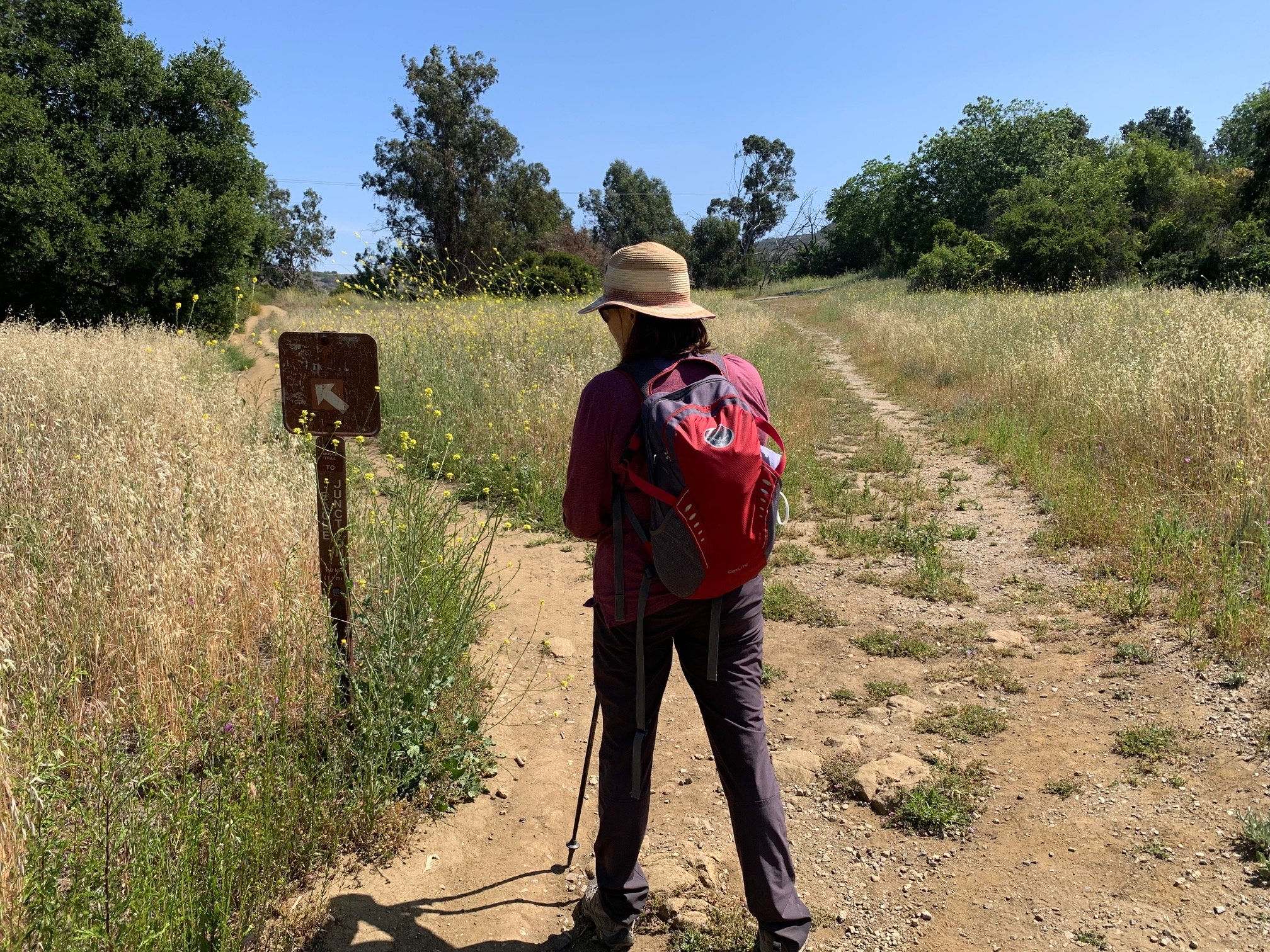
Then the climb started - gently at first down into a couple of stream beds and up the other side. But once past the campsite, the trail is pretty steep up to Eagle Junction approximately 1,000ft elevation from Trippet Ranch to Eagle Rock.
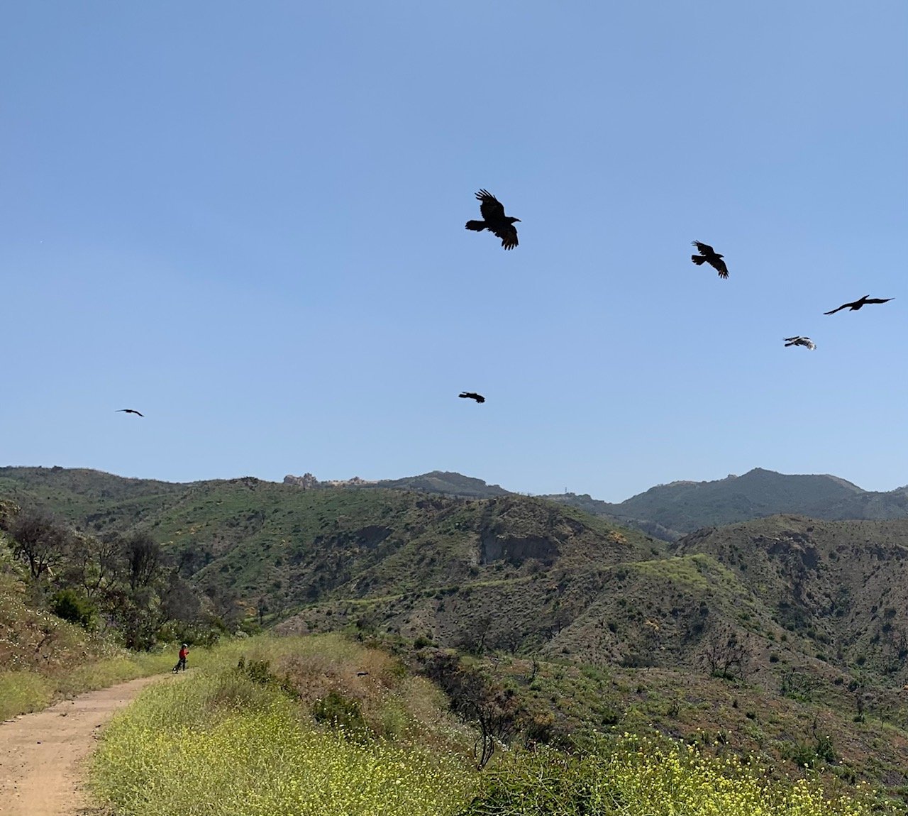
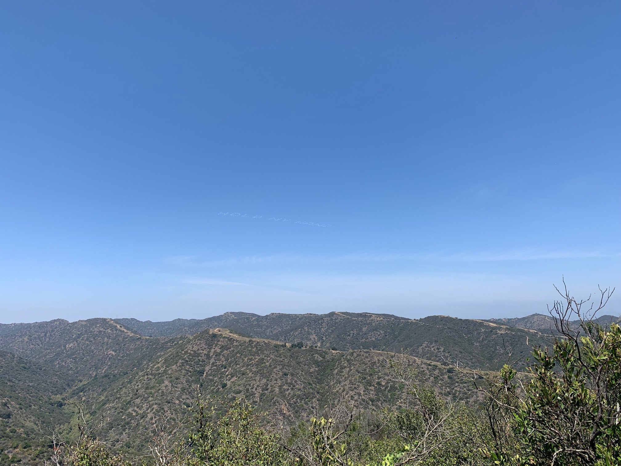
Taking a breather at the junction – just over two miles into the hike - we enjoyed the views back over Topanga Canyon. A great gathering (murder!) of crows were circling on the thermals here and landing on the nearby trail. A bit later, a fellow hiker told us that when you see so many crows in one place you should be friendly to strangers. So, we were.
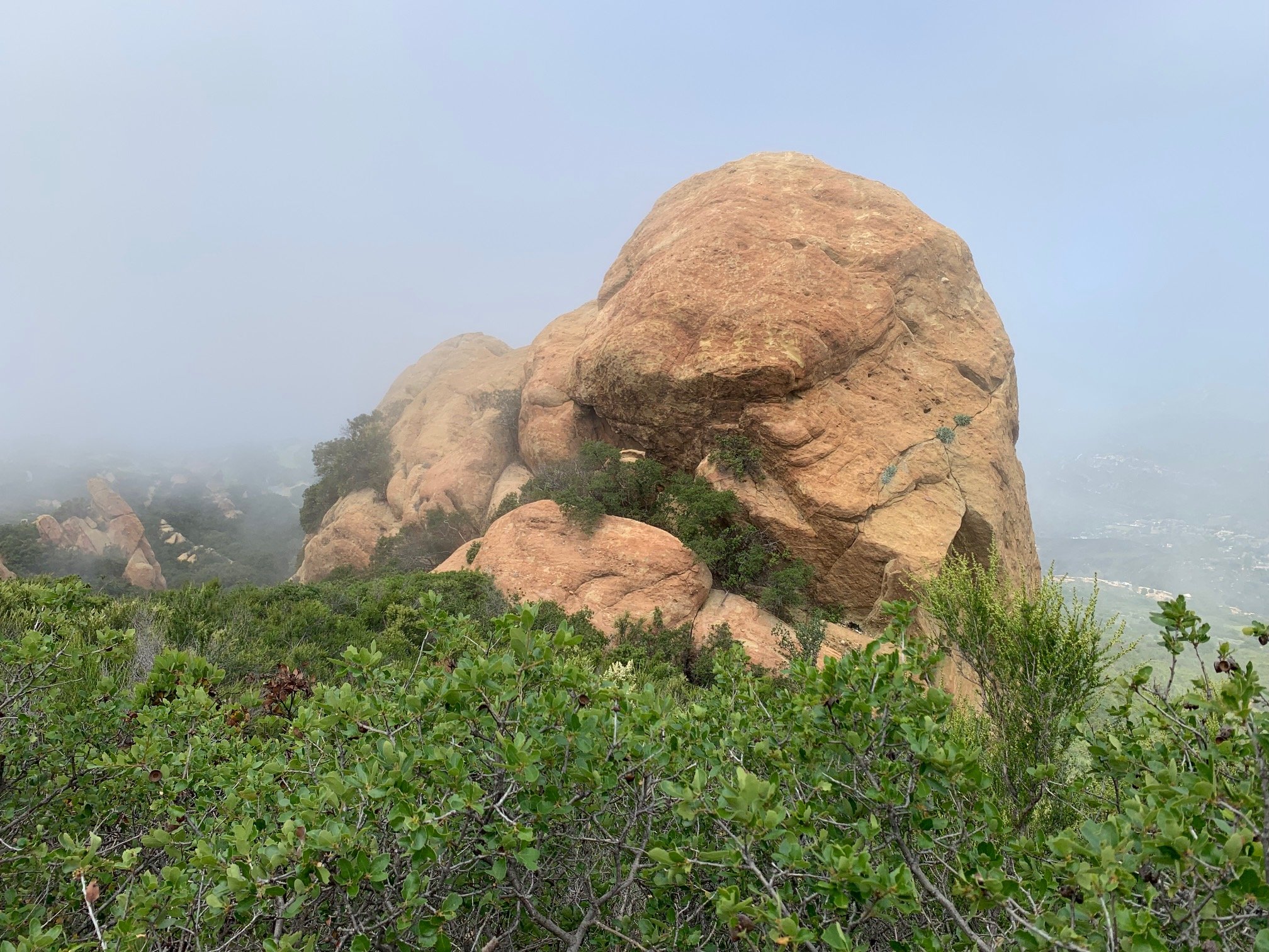
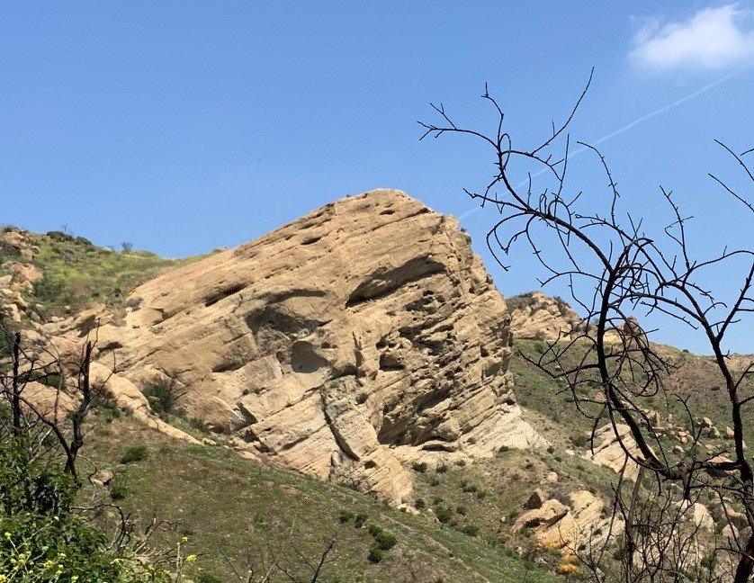
We turned sharp left at this four-way junction and took the Eagle Rock trail – a wide fire road. Another near half-mile of climbing and we reached Eagle Rock. This huge slab overhangs the canyon and is a good place for a short rest to enjoy the spectacular view.
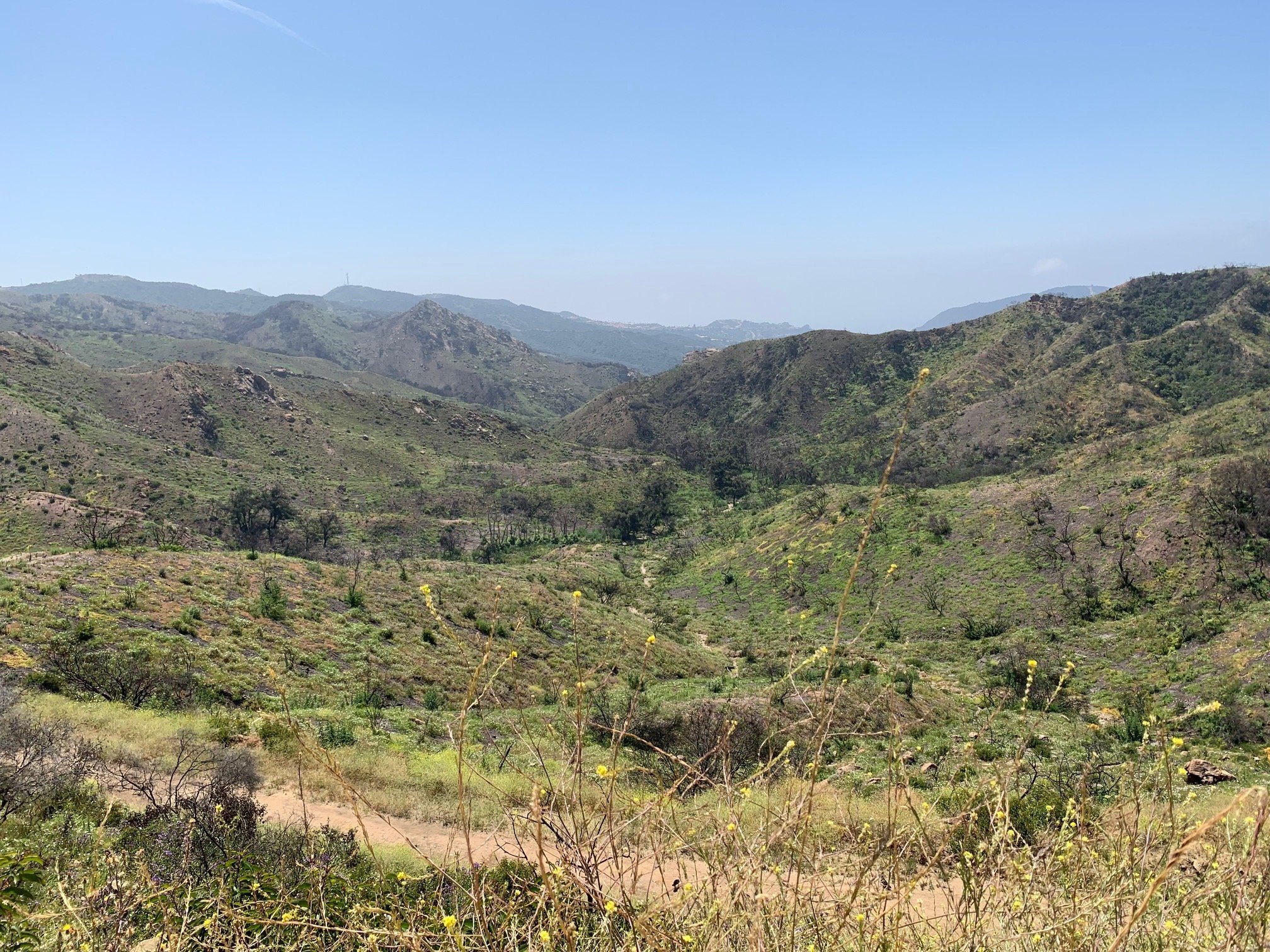
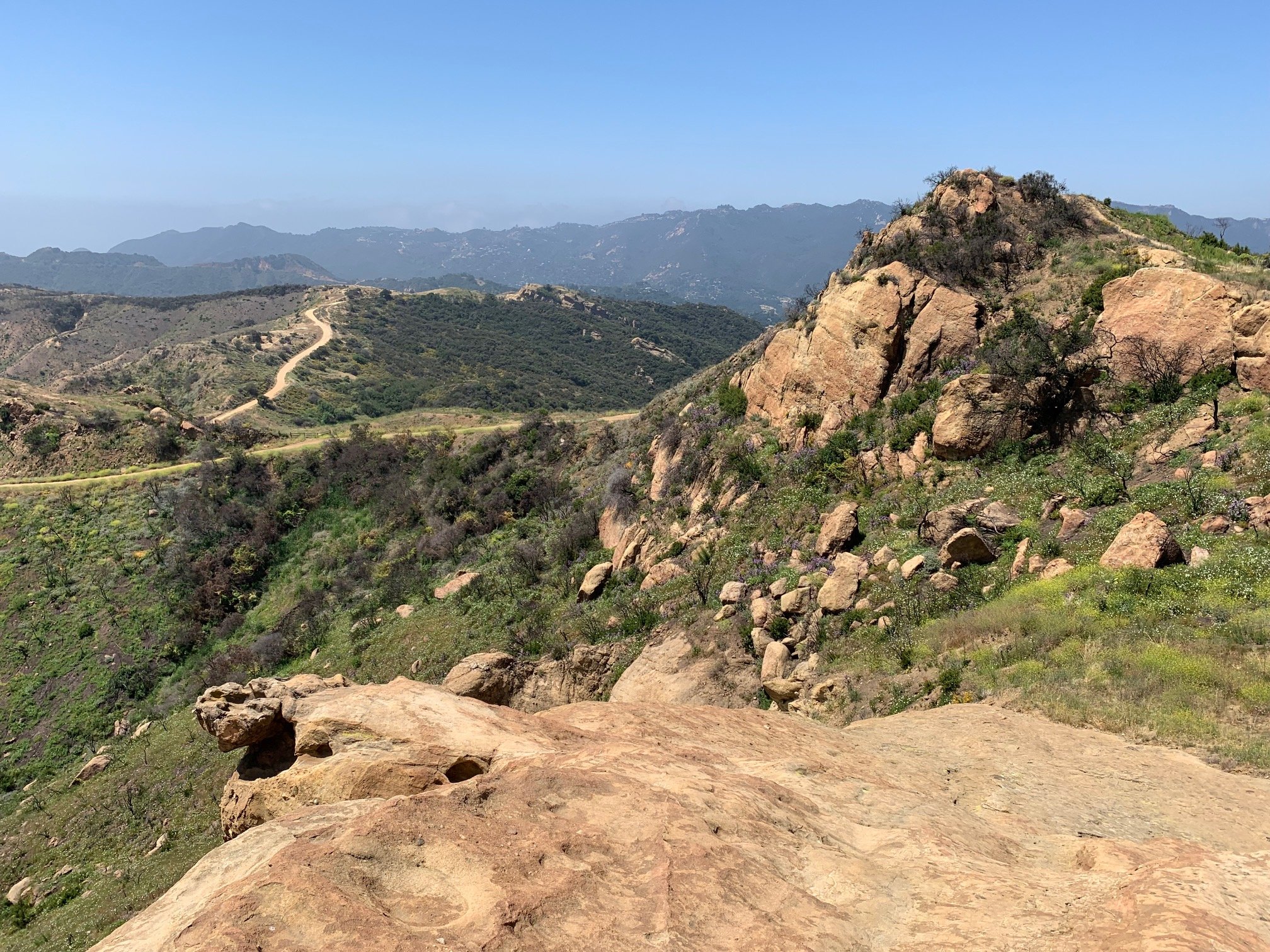
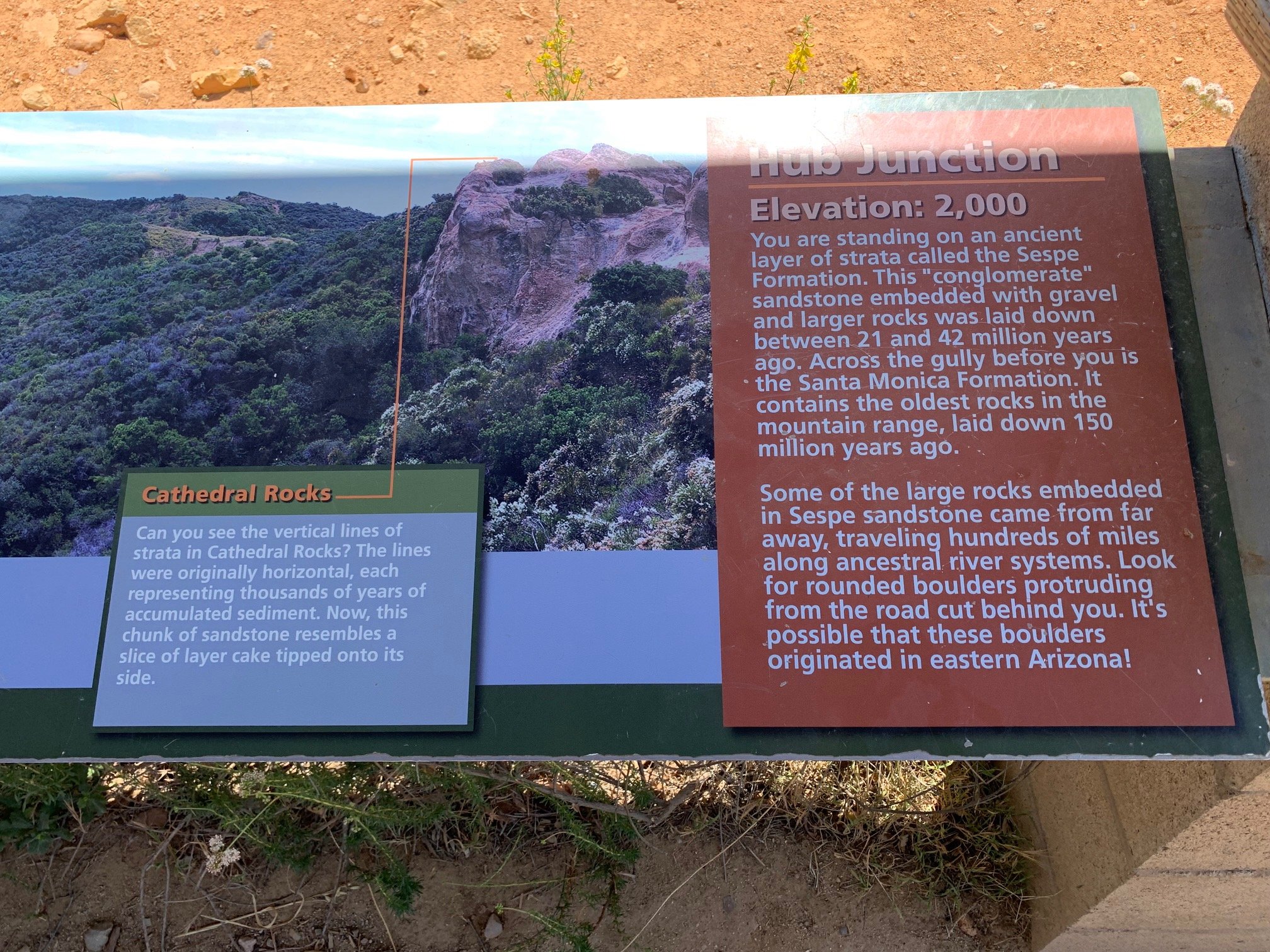
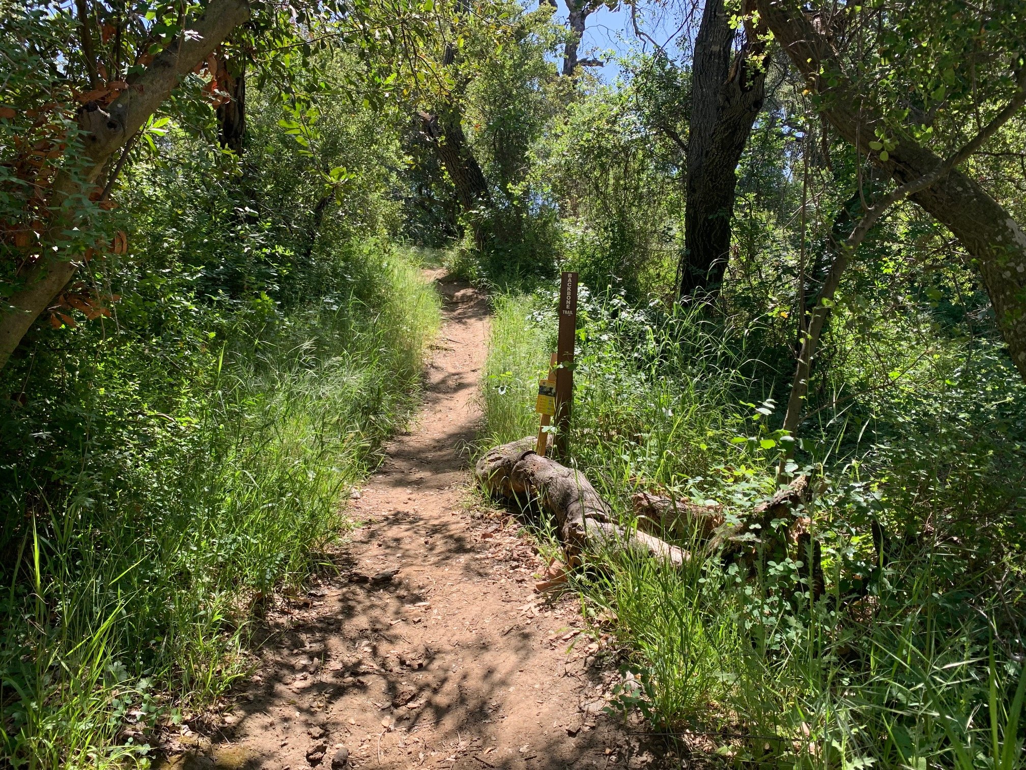
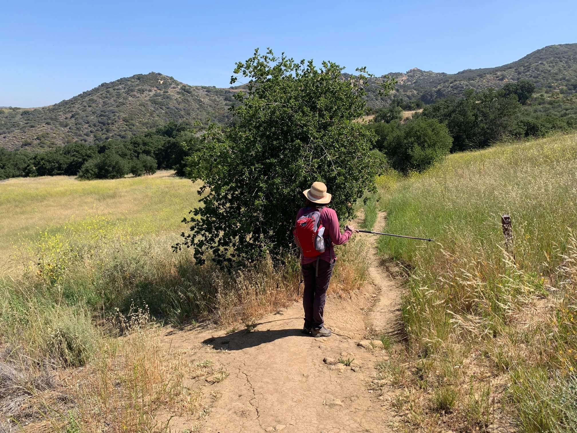
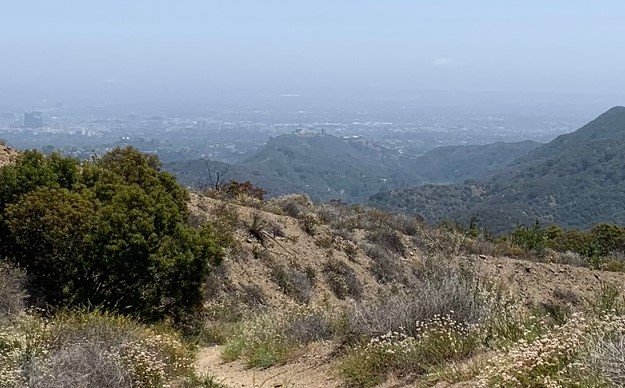
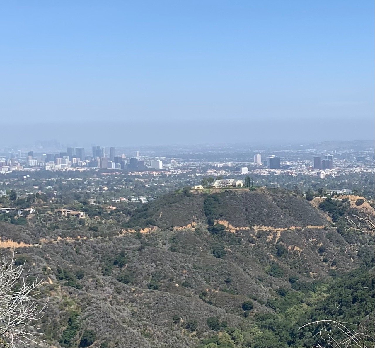
At three and half miles, we reached The Hub junction. A shade structure here gives some relief from the blazing sun in this dry upland. The views here are stunning over the canyons and towards the San Fernando Valley. Turning right here we continued for about half a mile until we took a left onto a narrow single-track trail marked Backbone Trail to Will Rogers State Park 6.5 miles. Just after this turn you will get your first view of the city – the tower blocks of Century City as the trail skirts the rim of Temescal Canyon.
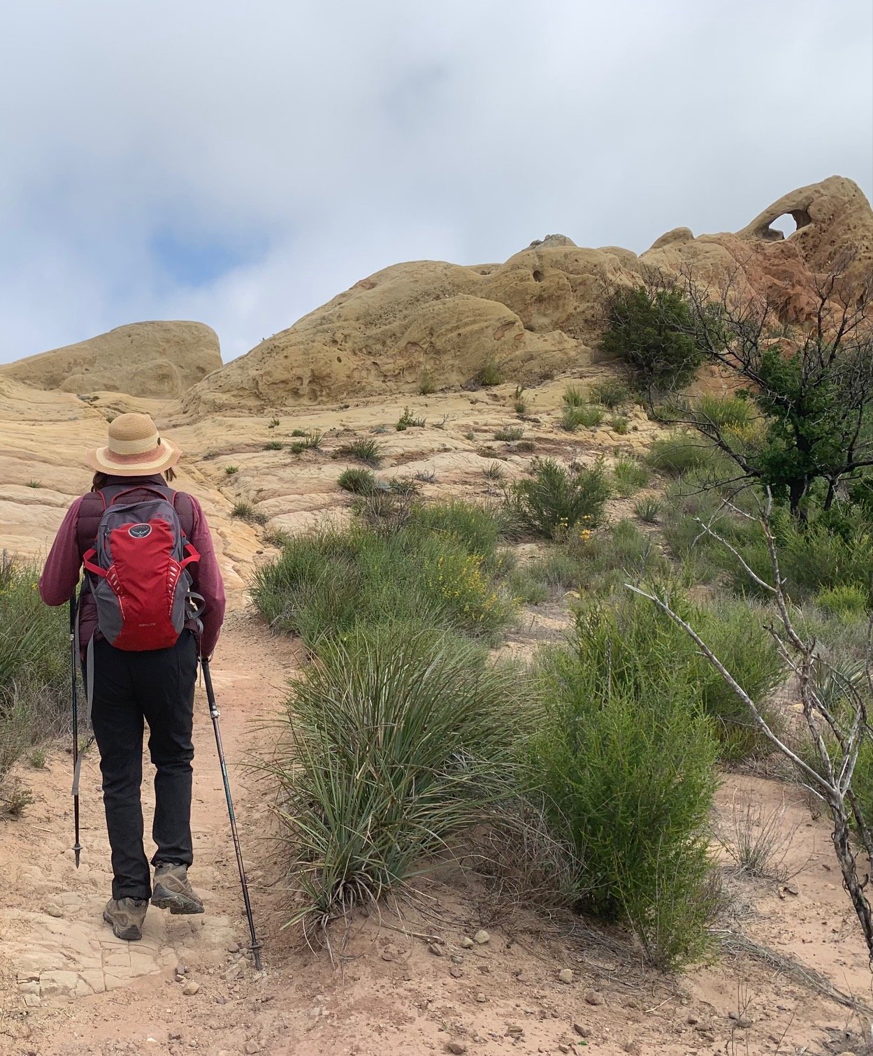
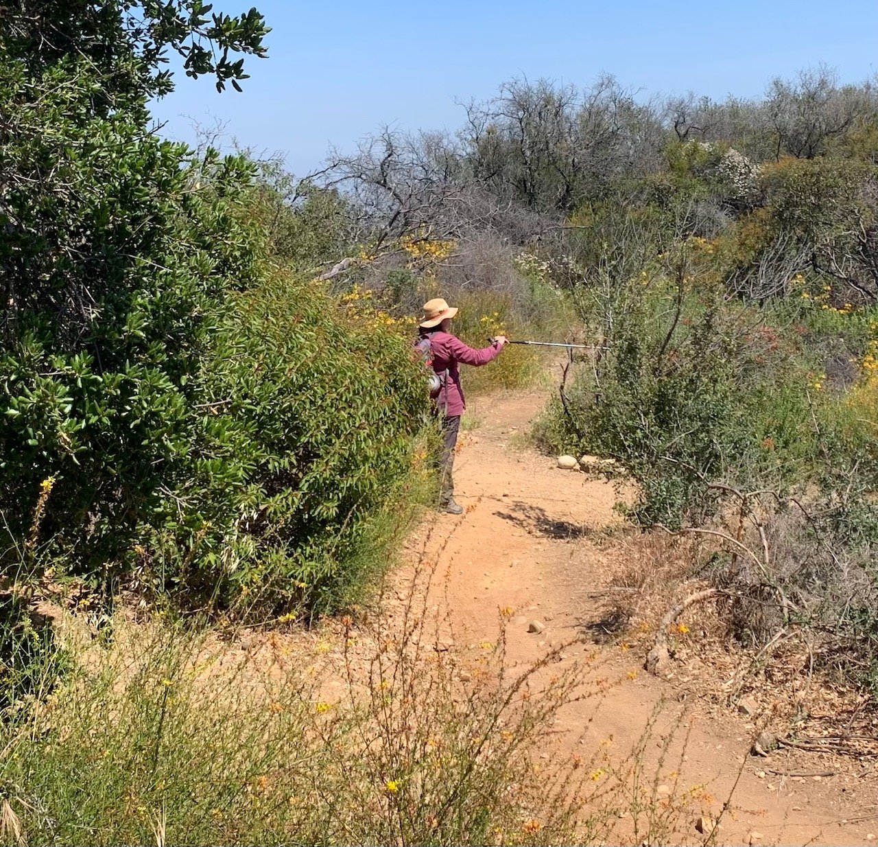
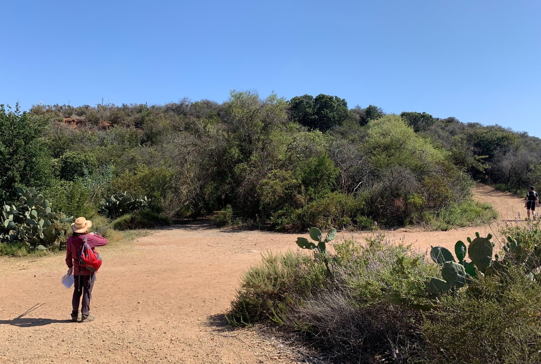
Further on, the trail continues with Rustic Canyon to the left before it descended into Temescal Canyon on a dry, stony section of the path. Satellite towers were visible across the canyon up to our right. Walking through this quiet canyon takes about half an hour and can feel repetitive going through thick chaparral with no shade and no view.
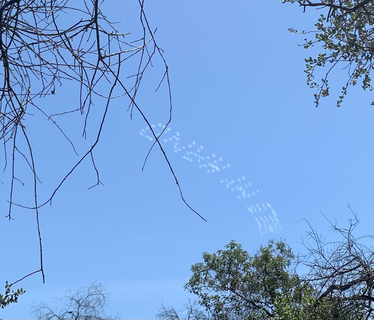
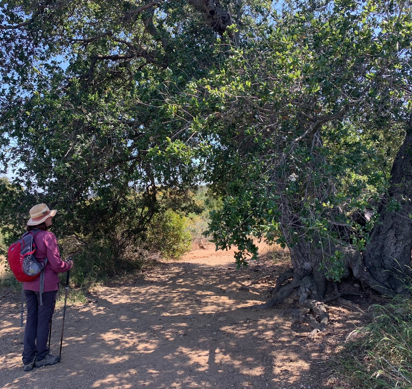
Then, everything changed. Taller trees on either side of the trail with earth underfoot took us, after a gentle half mile, to the so-called Lone Oak – an ancient tree with a bench in front. The plaque on the bench is in memory of Layla, a local hiker’s dog who obviously enjoyed this spot, and the perfect place for lunch. Above, airplanes were creating an advertisement in the clouds for ‘Hold My Hand’. Was this to promote Lady Gaga’s new song for the new Top Gun movie? Only in LA…
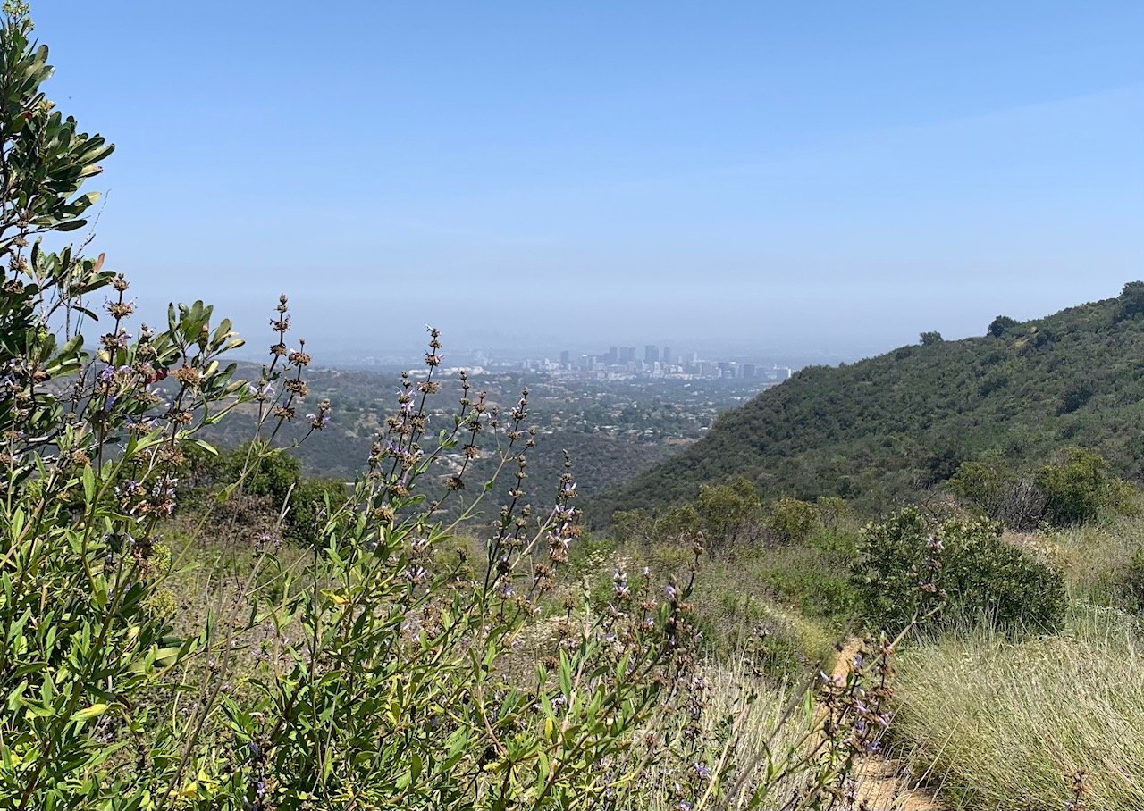
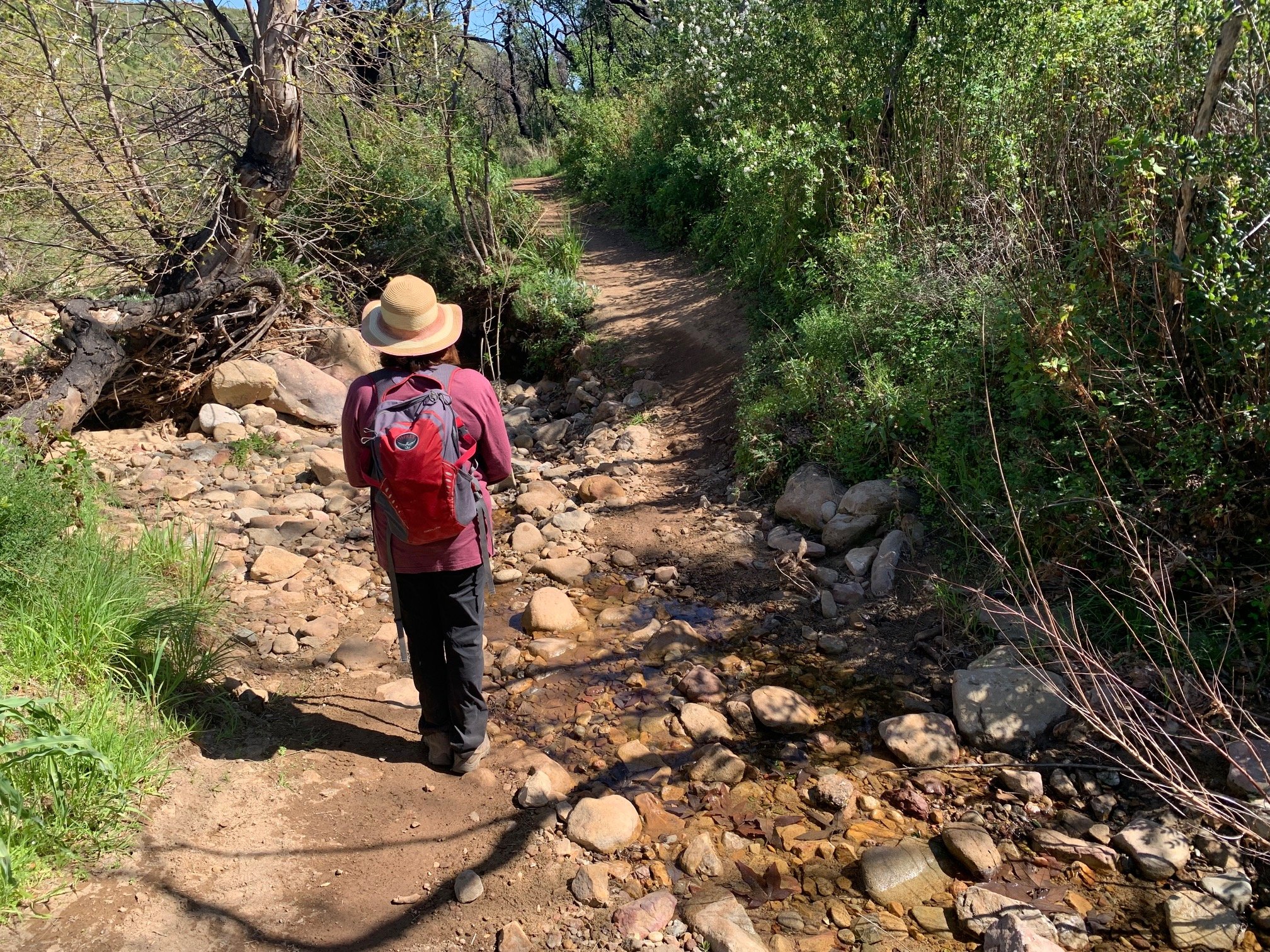
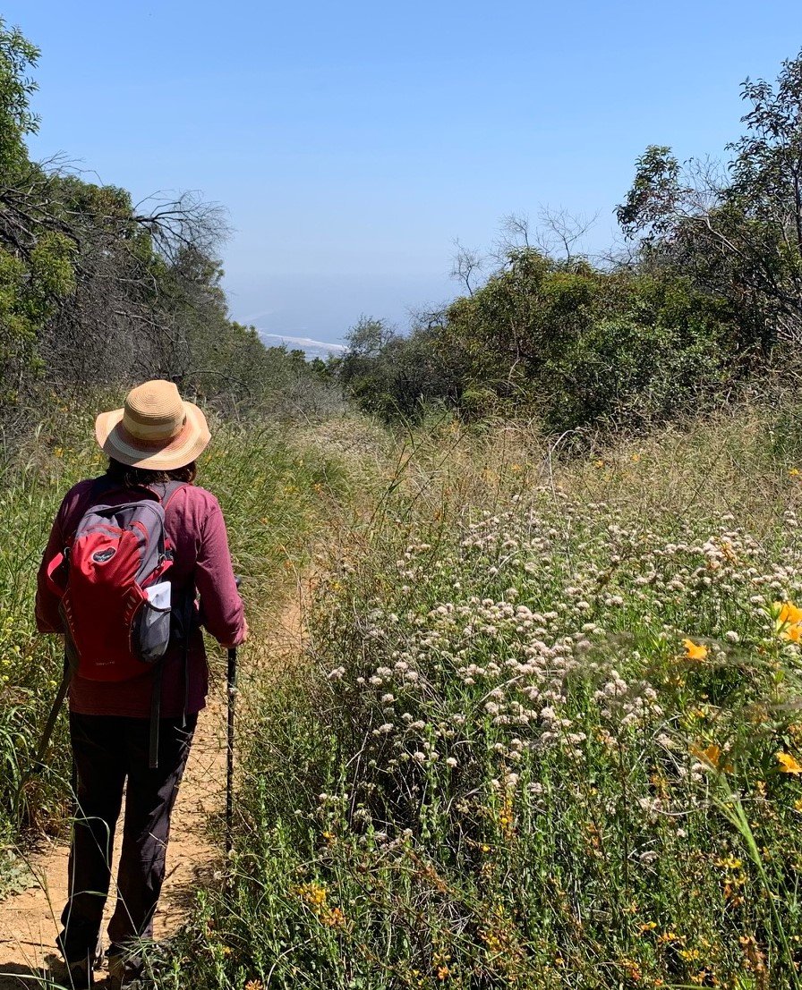
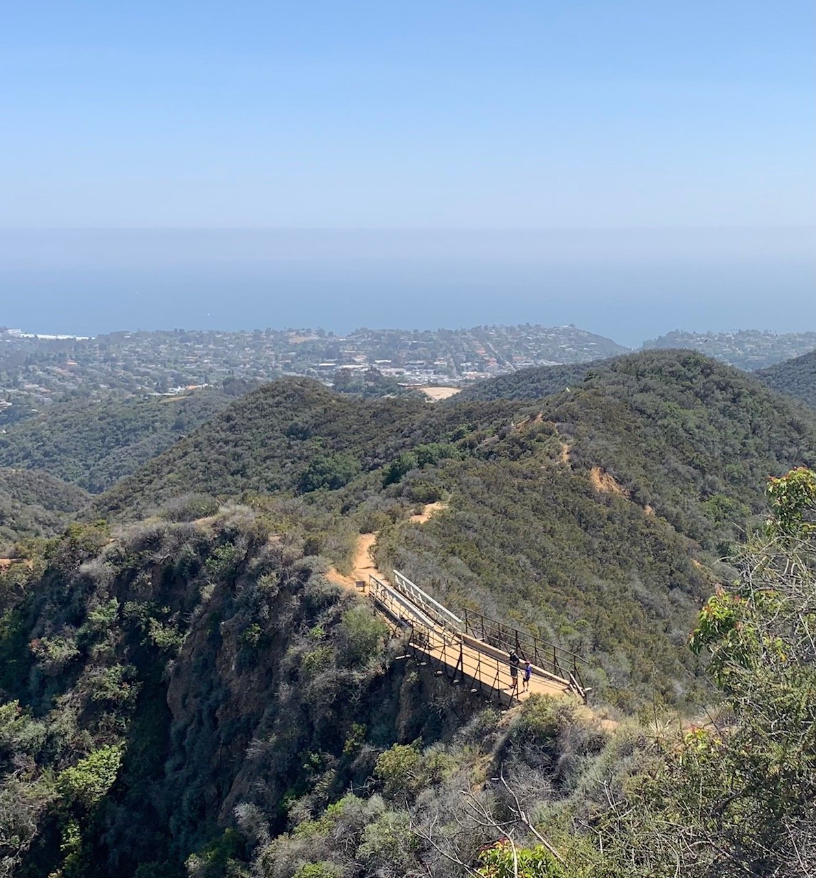
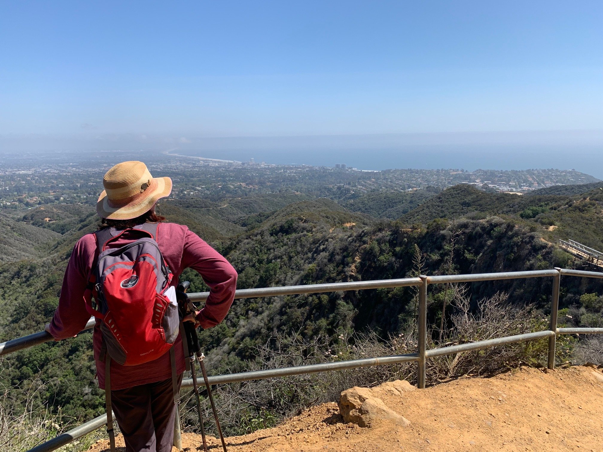
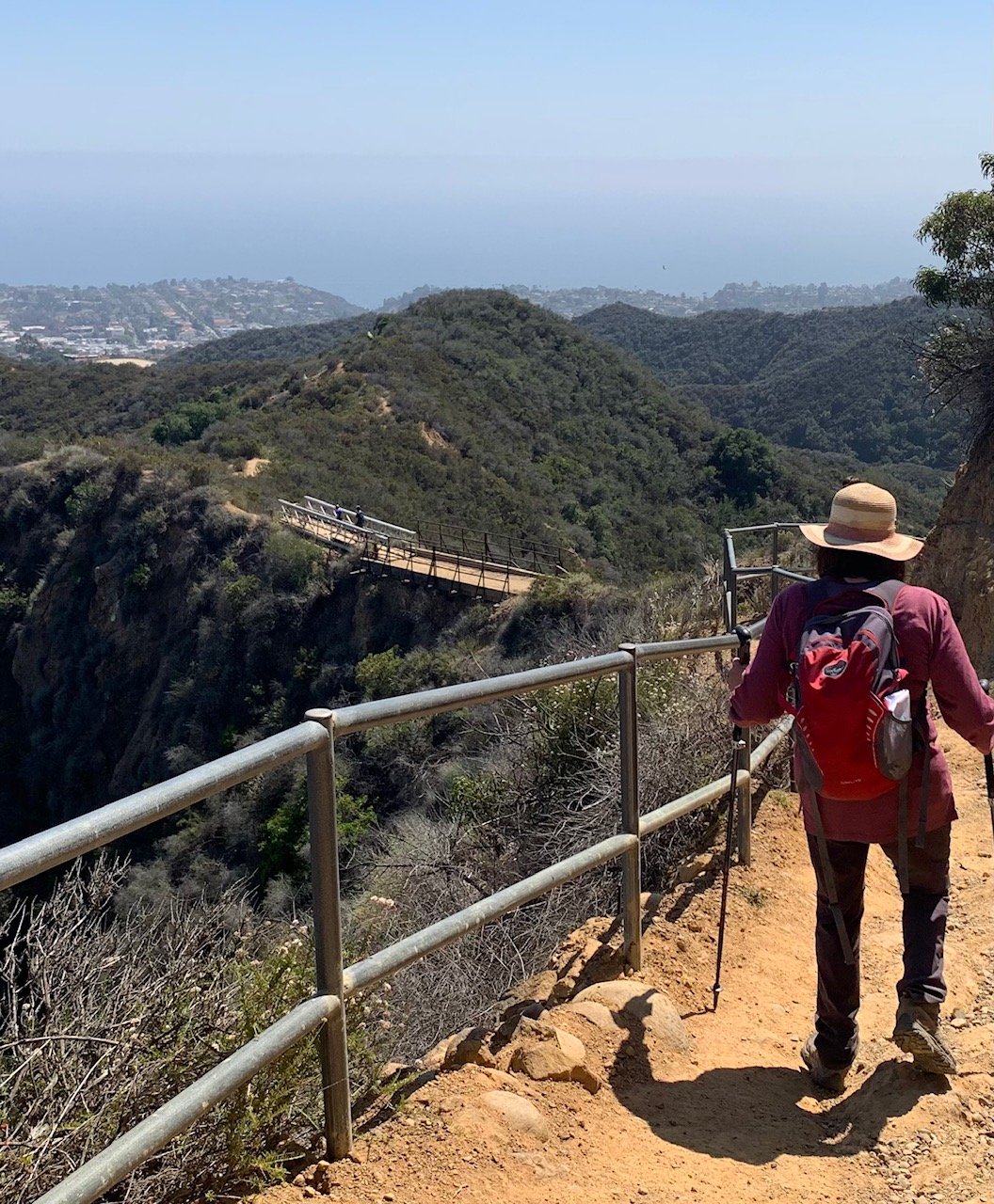
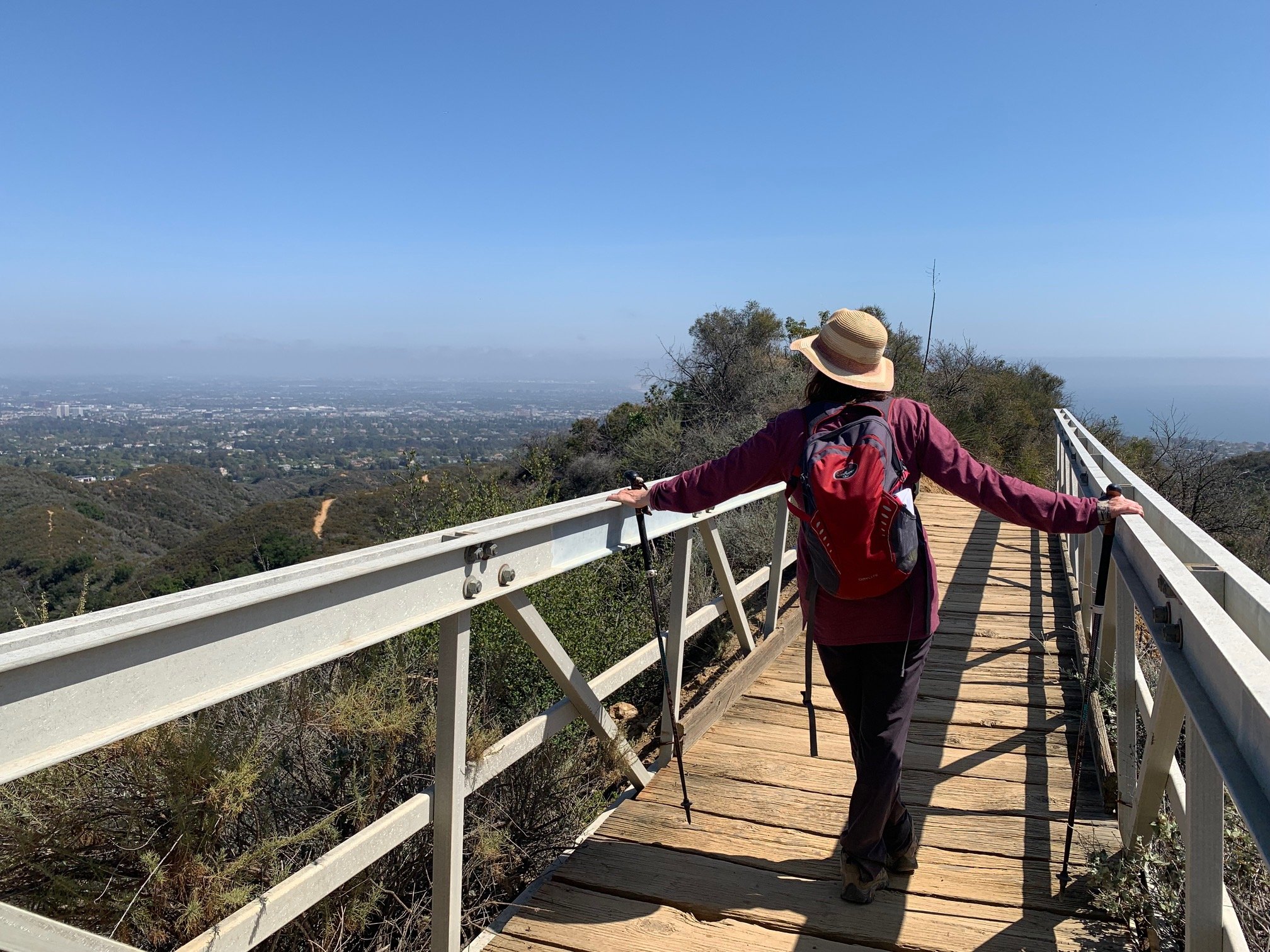
Immediately after the Lone Oak, we turned sharp right and headed down the hill. Towards Rivas Canyon, we enjoyed the shady riparian woodland on this rough section of the trail. Then, a mostly fairly steep descent to Chicken Bridge. This is effectively a board walk with guard rails across a knife edge with a vertiginous drop-off on either side into two different canyons. The views beyond open up here extending from Pacific Palisades, over Santa Monica and the ocean. As we continued our descent, the BBT became a city hike – no longer the back country!
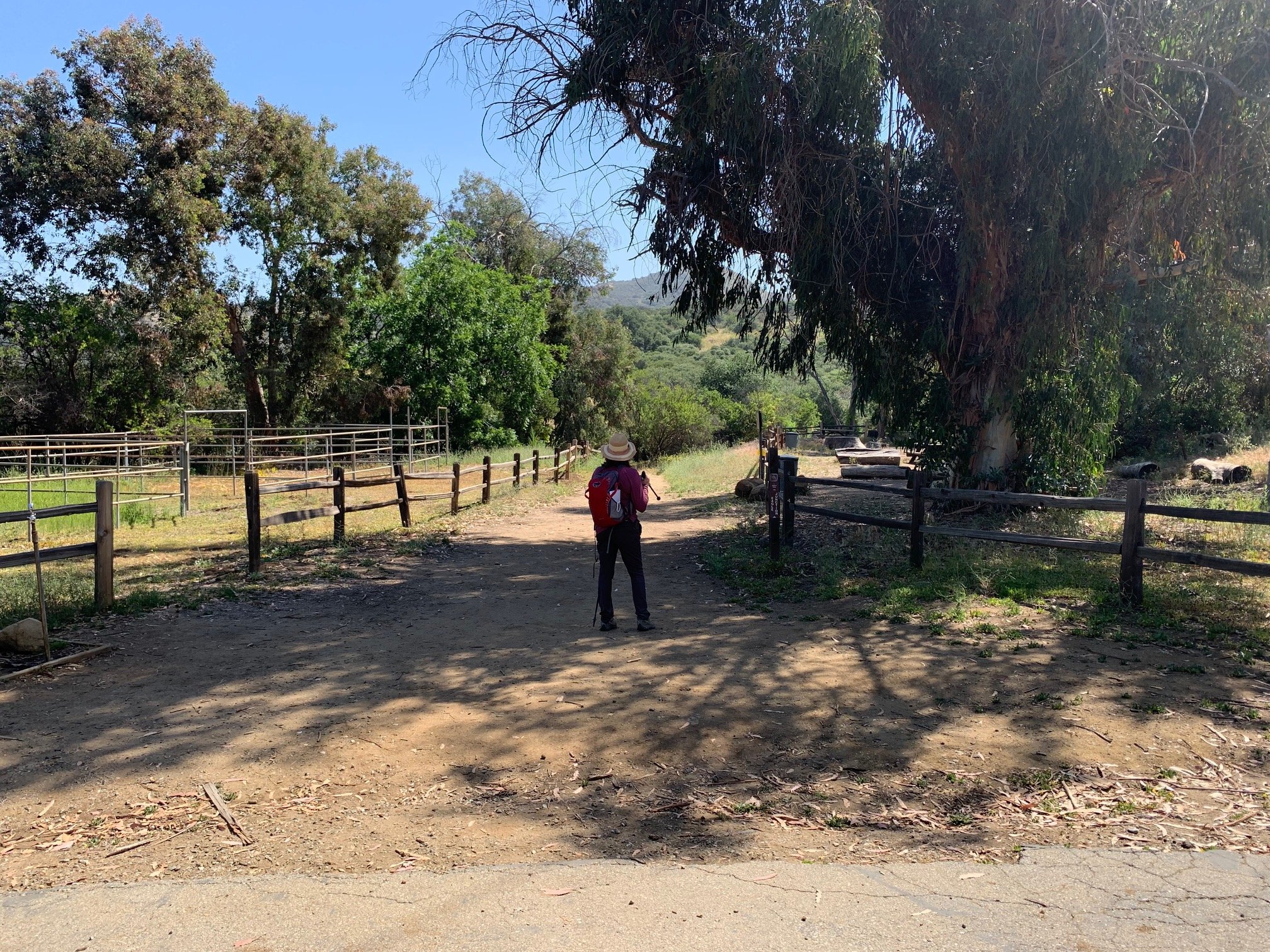
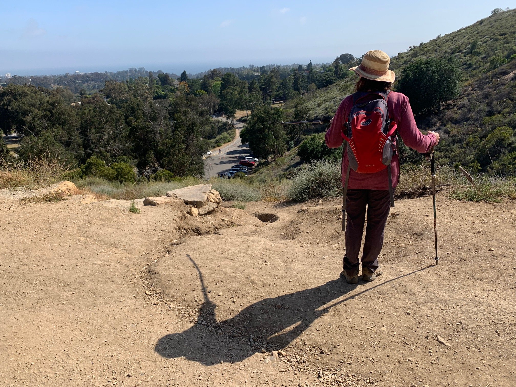
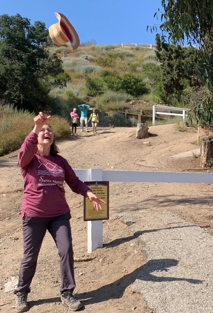
At the four-way junction, the trail exits Topanga State Park and we continued straight ahead on the Upper Betty Rogers trail into Will Rogers State Historic Park. This is a shady respite for a quarter mile or so as we spotted white picket fenced horse pastures in the valley below. It emerged to a fire road where we turned left. Then, after another quarter mile or so we headed right down the steep slope to the parking lot. And the end of the Backbone Trail!
67 miles done – 0 to go!
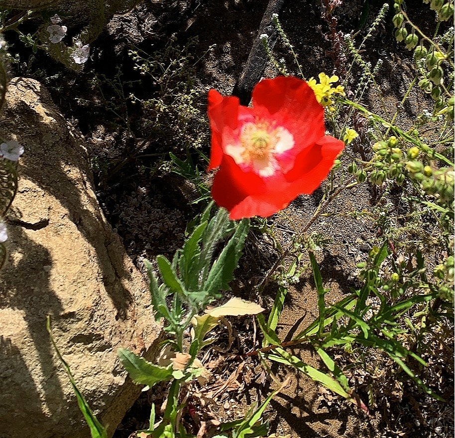
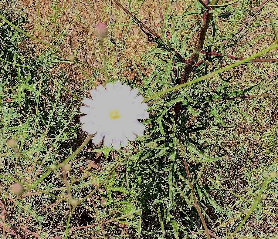
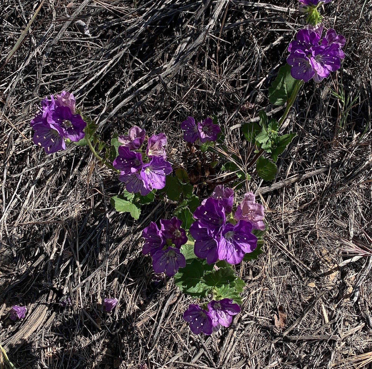
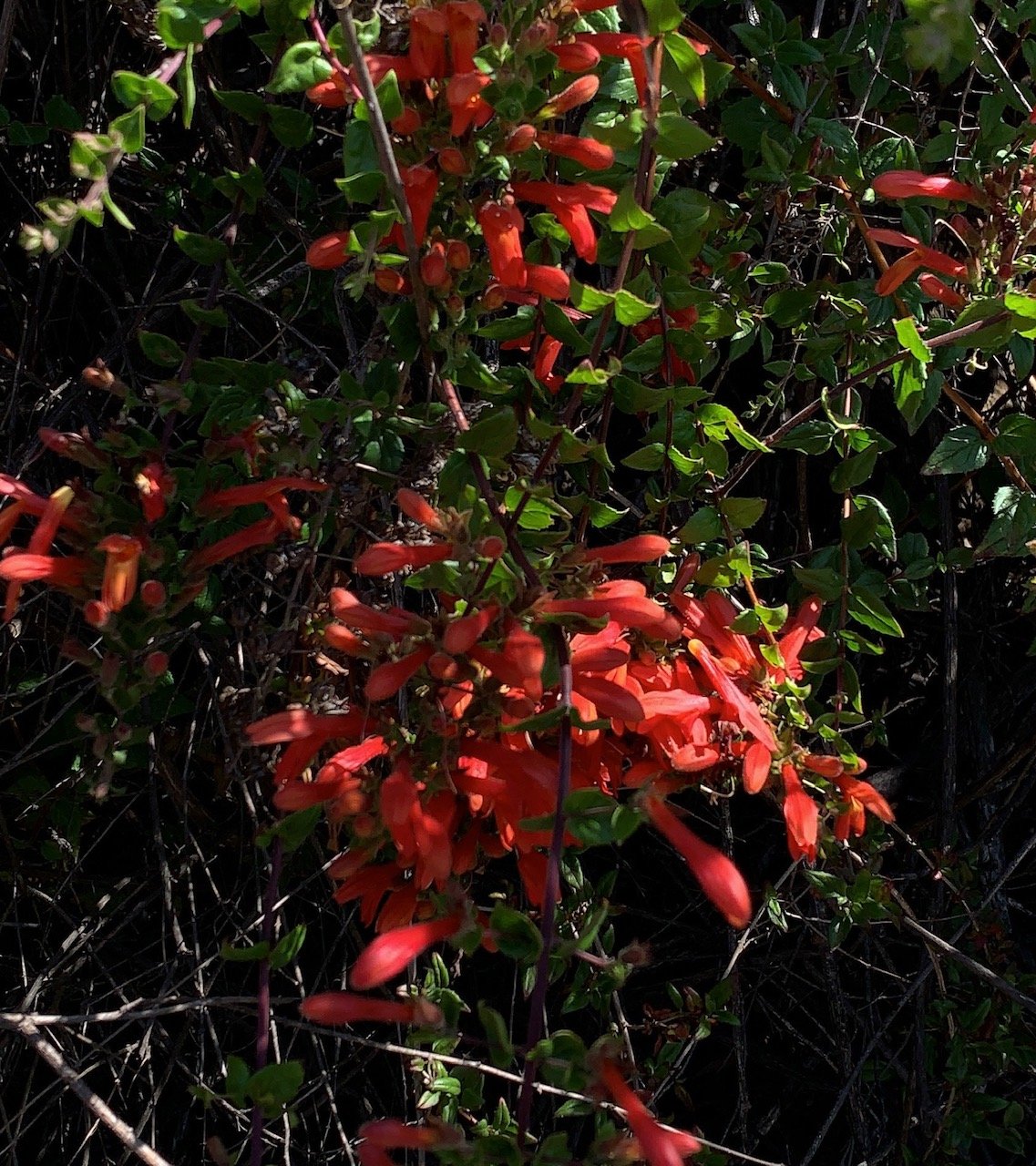
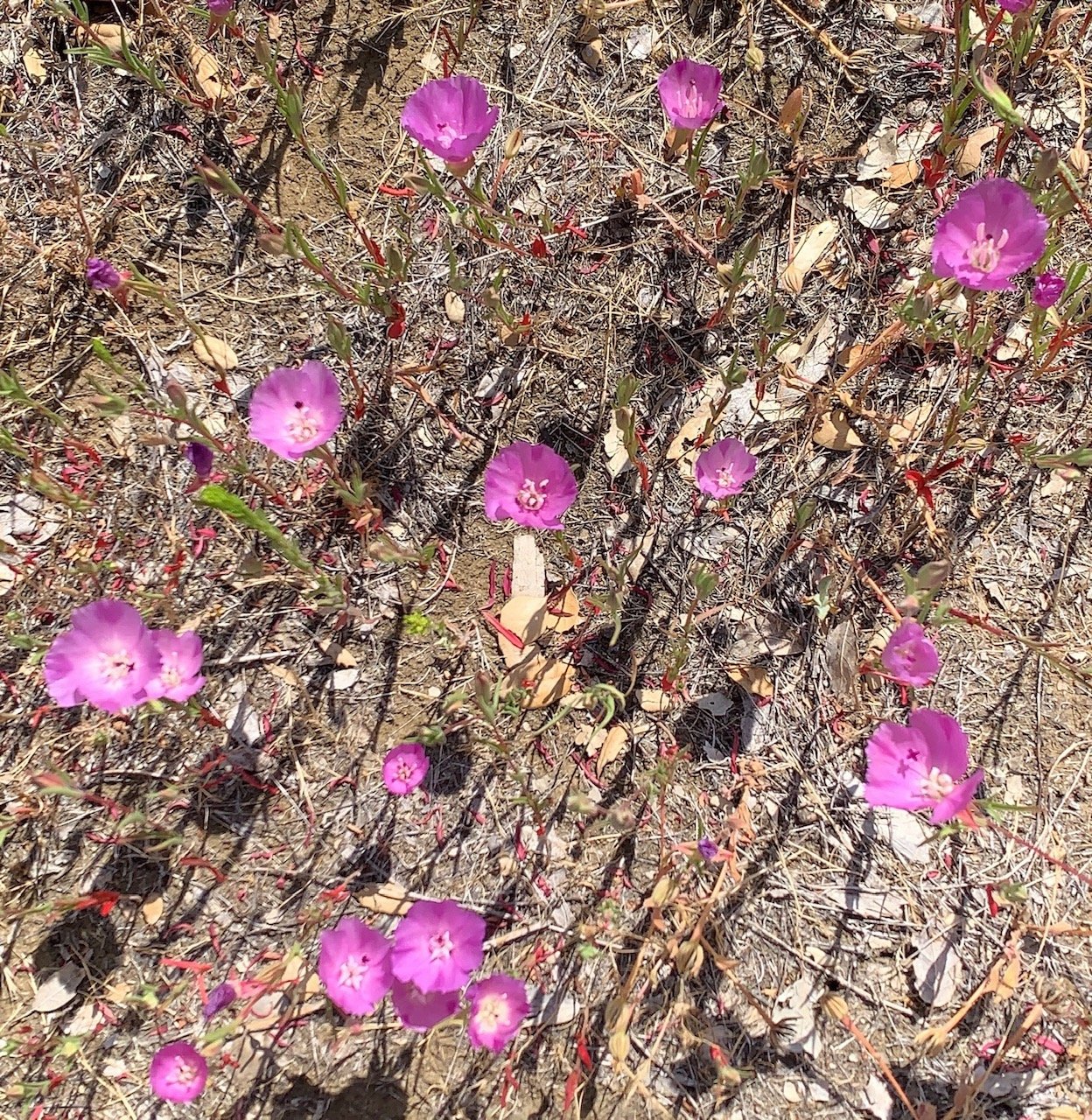
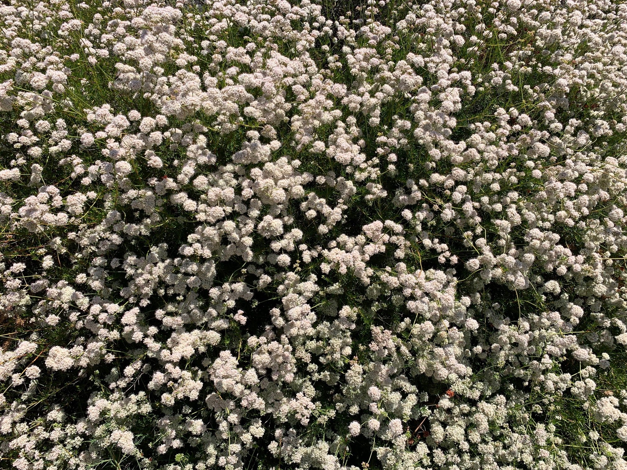
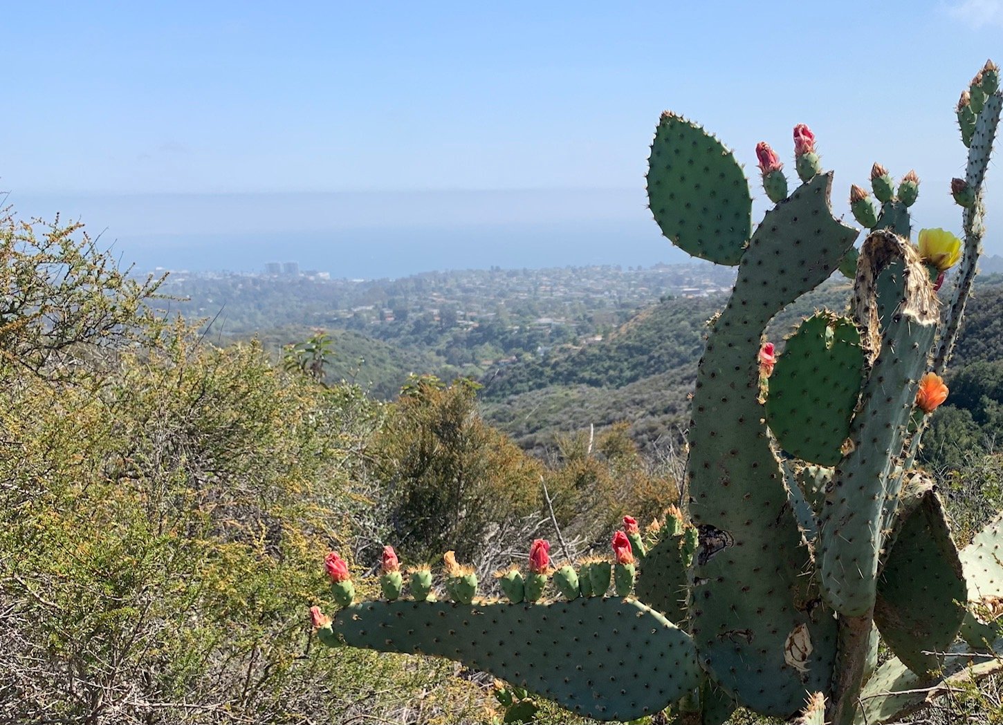
We saw many wild flowers on this hike even though spring is nearly over – Heart Leaved Keckiella, Broad-leaved Sweet Pea, Holly Leaf Cherry, Hairy Vetch, California Primrose, Speckled Clarkia and even some cacti. These were documented with care by the Man with the Camera. Credit to him for taking on the challenge of this hike with me, spotting all the signs and making sure we provided a somewhat useful photographic guide for any readers of this blog.
I’ll share tips and impressions from the BBT in the final blog piece in this series. So, look out for Hiking the Backbone Trail Section 11 soon.

We earned the badge!