
Hiking the backbone trail - Part 4: Mishe Mokwa to Mullholland Highway
Segments 18 and 17 in The Complete Hiker’s Guide to the Backbone Trail by Doug & Caroline Chamberlin
The Man with the Camera and I decided that combining the book’s segments 18 and 17 west to east offered a good opportunity to get nine more miles of the trail under our belts. As with Mishe Mokwa to Sycamore Canyon, this is one of the many spectacular hikes on the Backbone Trail. Starting at Mishe Mokwa, it crosses Yerba Buena Road after 4.6 miles, then climbs up to Etz Molloy Motorway before descending to Mulholland after nearly nine miles total.
We parked the first car at a dirt pullout on the right-hand side of Mulholland just after the stop sign where it turns sharp right towards the ocean. We had hoped to park by the trail exit but it is not clearly signed, and was difficult to spot when driving past. This dirt pull-out is a safe spot and only a half mile from the end of the trail. We then drove along Little Sycamore Canyon Road / Yerba Buena Road to the south parking lot at Mishe Mokwa.

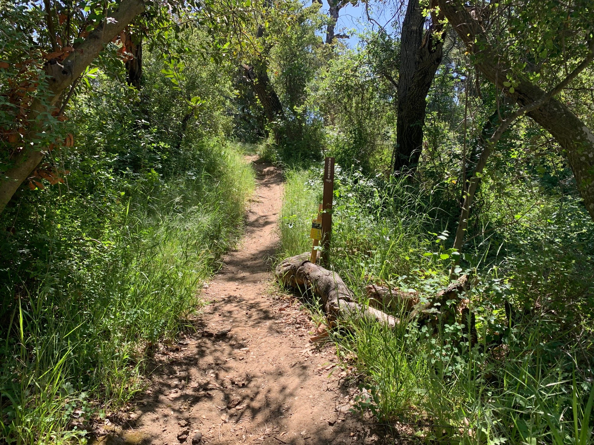
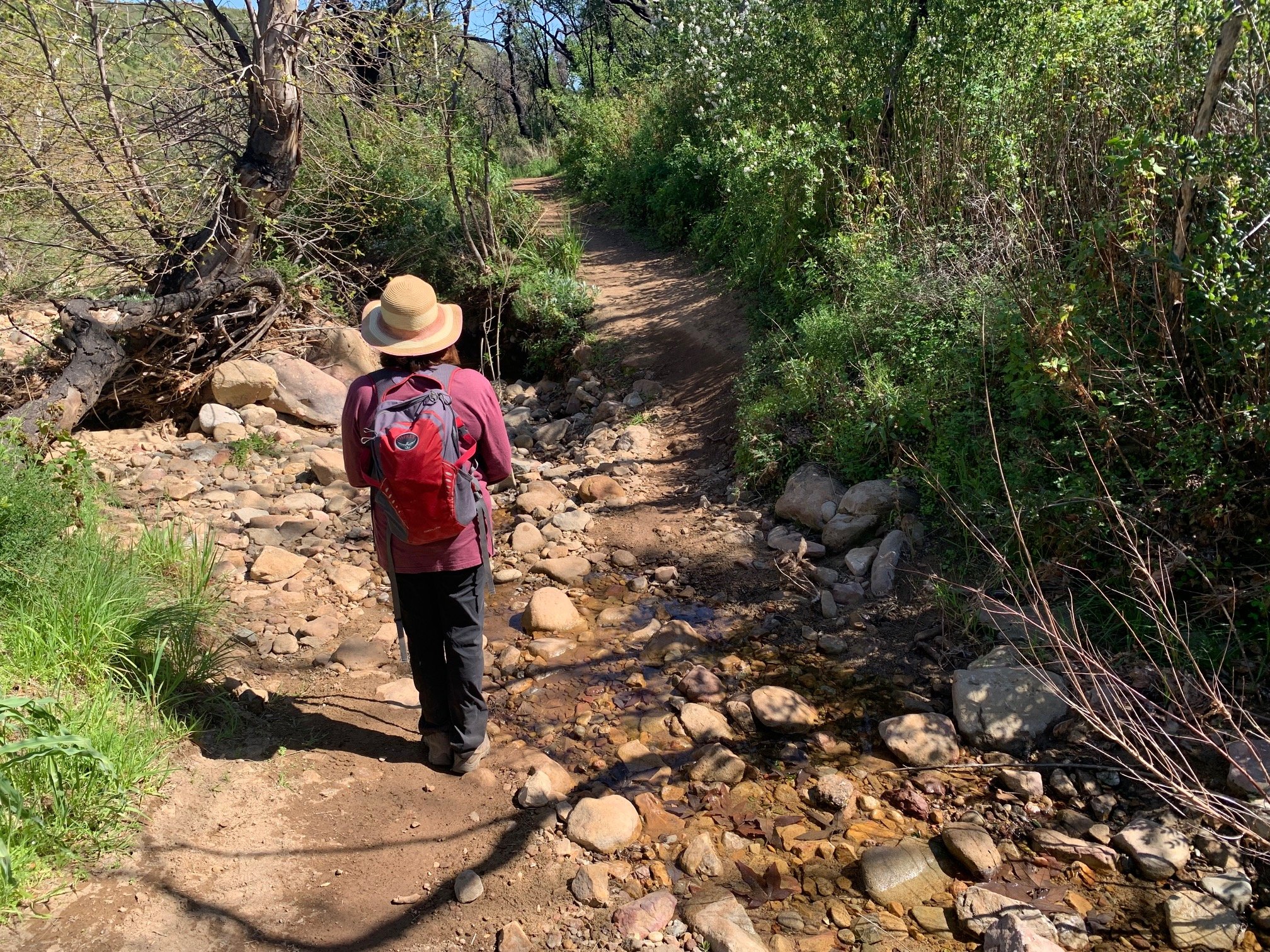
Start of the hike at the Mishe Mokwa parking lot
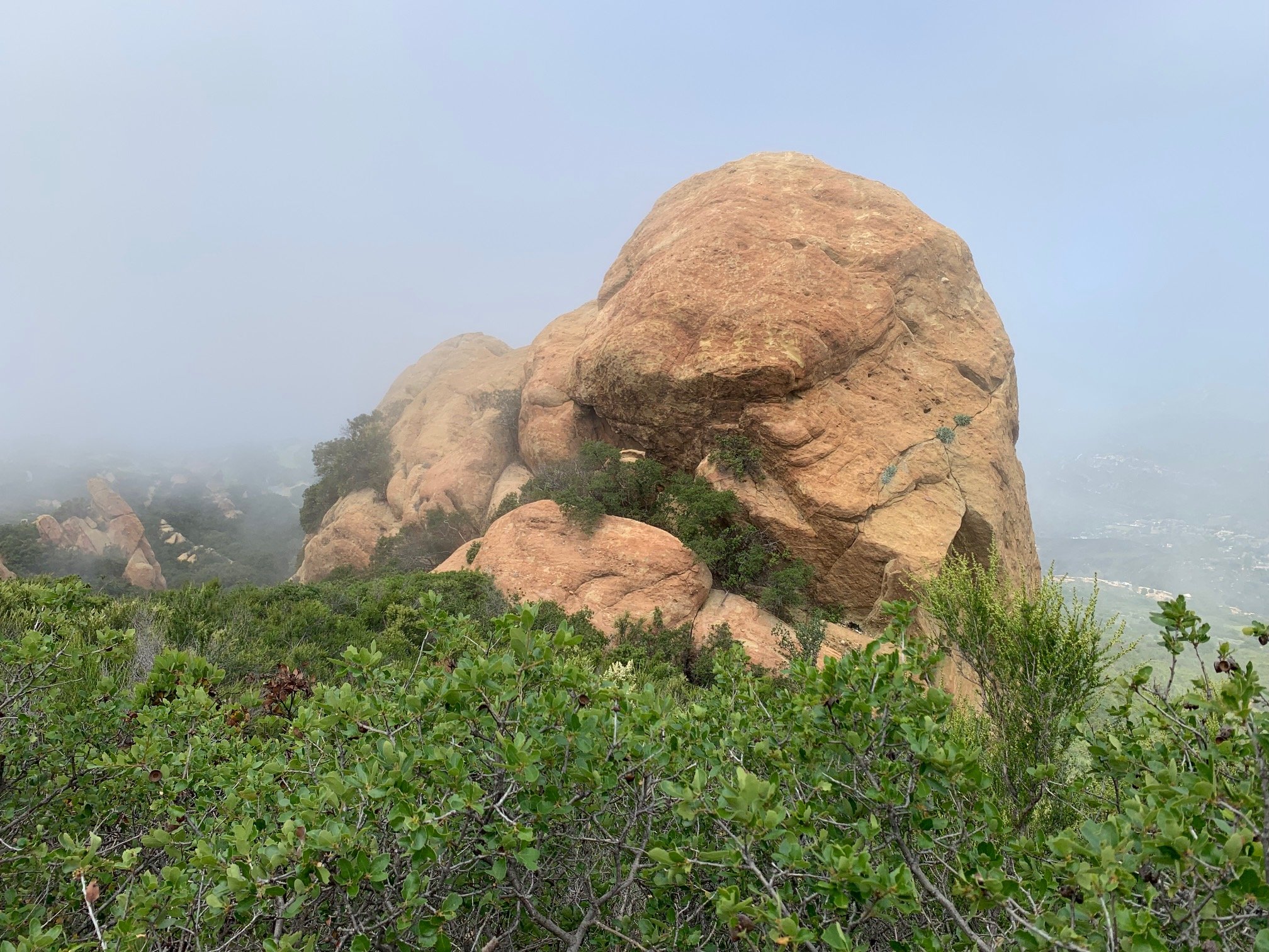
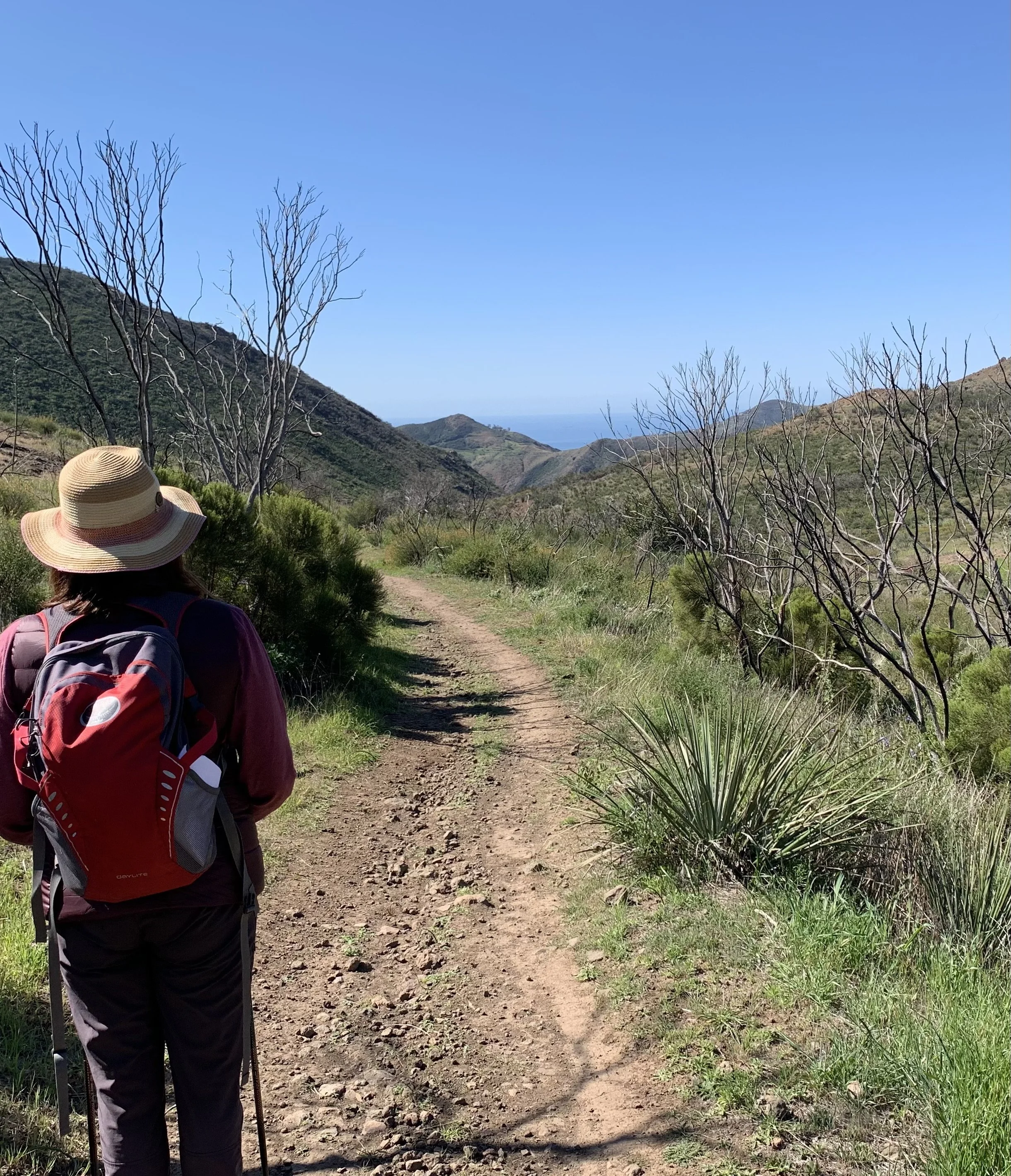
The trail exits from this lot by the Backbone Trail sign, and curves downhill somewhat and then along the edge of the canyon before a mile-long series of graded switchbacks up towards and around Triunfo lookout. There is an option of a side trip to get to the top of this point on the Yellow Fire Road which we did not take. As we ascended we looked back on glorious views of Boney Mountain and Sandstone Peak. Having skirted the corner of this ridge, we were blown away by the spectacular ocean views for the next couple of miles. At the hike’s high-point we saw the AT&T satellite dishes below in the valley. The patchwork of winding roads, green hills and the ocean stretching away to forever is an extraordinary site.


After this we descended gradually along the ridge with steep drop offs to the right. Watch out for a number of recent landslips on the trail and a lot of cyclists on a Sunday who were mostly very courteous on this narrow track. At four miles we appreciated some well-graded switchbacks through shady chaparral and a small elfin forest down to Yerba Buena Road


Crossing Yerba Buena there is a steep near half mile climb up to Etz Molloy Motorway. There, it really feels like you are right on the spine of the Santa Monica Mountains. The trail is a wide fire road with a steep precipice on either side. Inland views towards Thousand Oaks and Lake Sherwood extend to the left and the glorious canyons and ocean to the right.
We continued along Etz Molloy to the Arroyo Sequit overlook – a perfect spot for a quick lunch to enjoy these overwhelming views.


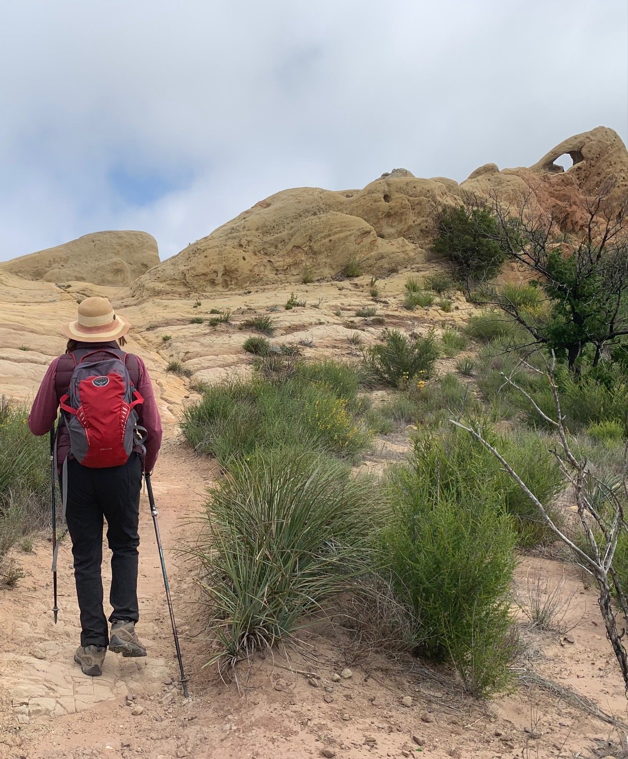
The hike then continued along this fire road before descending for the next 2.5 miles to the end. The final section is like a bike park – an incredibly twisty, very well graded trail for cyclists. It is much less dramatic than the earlier parts of the hike but the canyons full of wildflowers are beautiful. The whole length of one small valley was covered in Canyon Sunflowers.


The Man with the Camera is definitely enjoying the iNaturalist app. He was able to identify a number of new plants this time that we had not seen before – Cape Snow Bush, Greenbark Ceanothus, Whispering Bells, Hairy Ceanothus and Seacliff Buckwheat to name a few - all flowering in spring.
We finished at Mulholland Highway and spotted the continuation of the trail on the other side of the road heading towards Encinal Canyon. Signs on both sides of this road indicating that these are the Backbone Trail would have been helpful.
We would definitely recommend doing this whole hike west to east as we felt that the long descent at the end would not have been so enjoyable as a climb to the Etz Molloy Motorway at the beginning of the hike. So, 26 miles done and 41 to go!